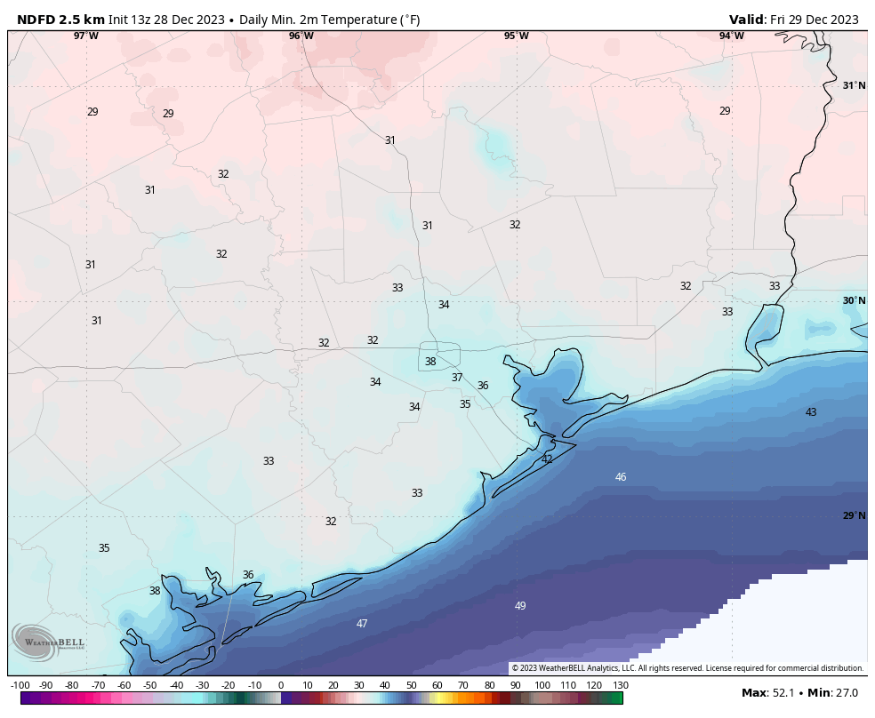
Good morning. Lows have bottomed out in the upper 30s across most of Houston this morning, giving us cold but not freezing weather. The pattern we’ve been talking about for several days now will hold through the holiday weekend, with a warming trend through Sunday, followed by a cold front overnight leading to chillier conditions on New Year’s Day. Also, please check the end of today’s post for a note regarding some issues with our app and its display of current conditions.
Friday
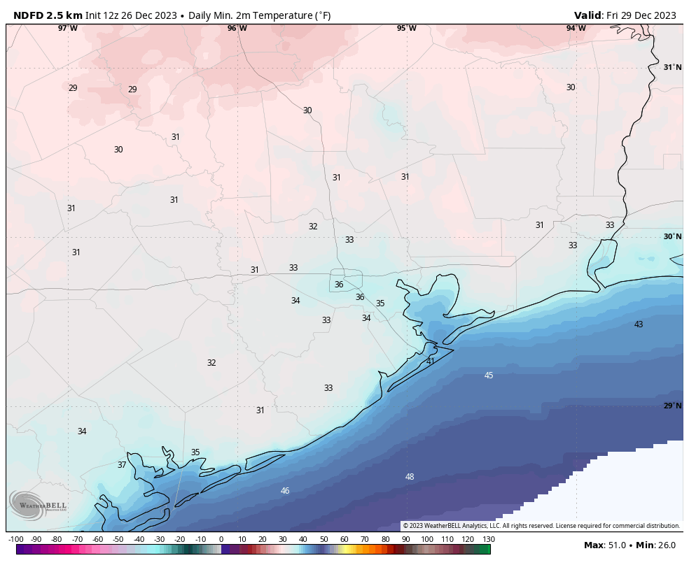
Today will be sunny and cold, with high temperatures only reaching the mid-50s for most areas. Winds will be light, from the northwest, at perhaps 5 to 10 mph. With clear skies, low temperatures will again drop into the 30s tonight, to about the same level reached Thursday night. So most of the Houston region should again remain comfortably just above freezing.
Saturday
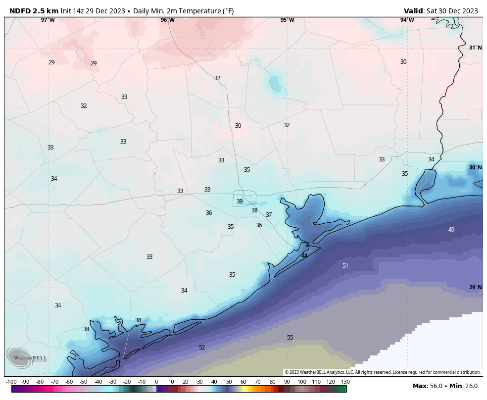
We’ll see the beginning of a bit of a warming trend, with highs reaching the mid-60s as winds turn to the west and then southwest. Skies remain sunny. Overnight lows will drop into the 40s.
New Year’s Eve
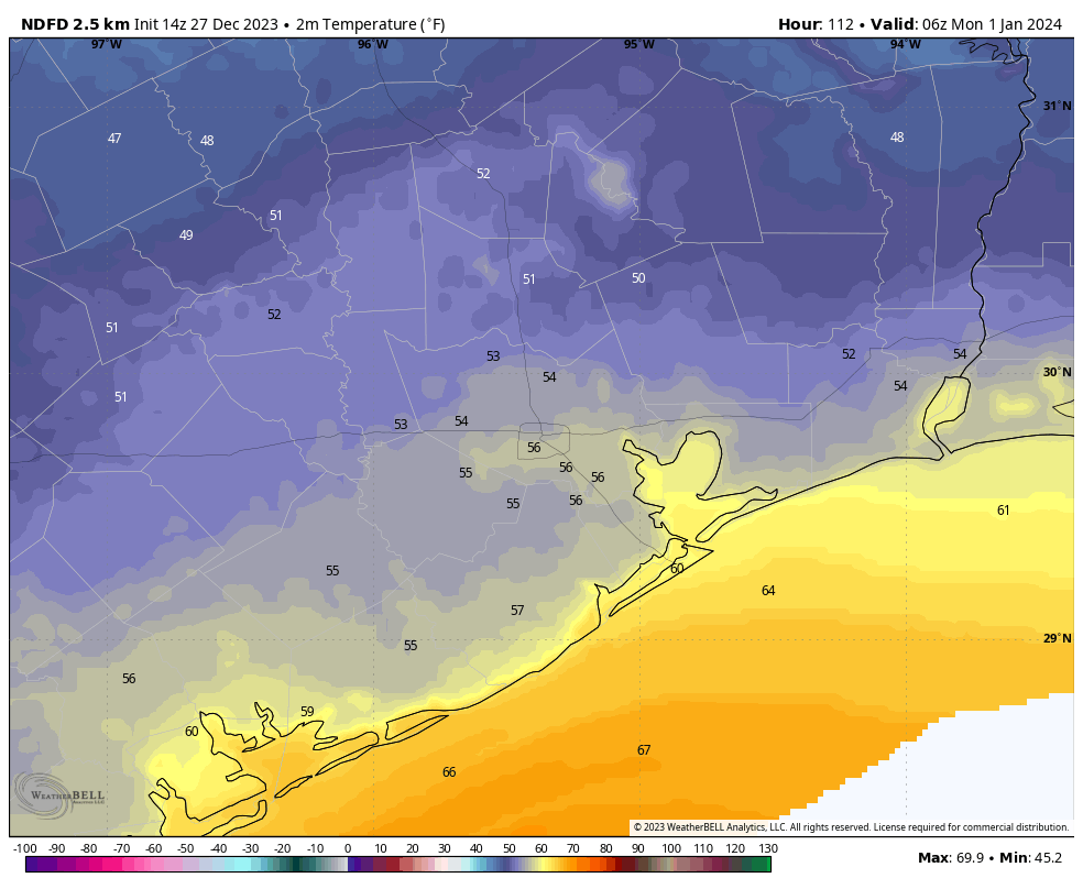
The year will end on a high note for temperatures, with mostly sunny skies and highs reaching around 70 degrees or just a tick above. The evening should be mild, in the 60s, leading up to the new year. There’s a slight chance, perhaps 10 or 20 percent, of some very light rain near or after midnight as a front approaches. The best chance for showers will be close to the coast. The front itself should move through the metro area after midnight.
New Year’s Day
This will be a mostly sunny day, with highs in the upper 50s or so. Winds will be noticeable from the north, perhaps gusting to 15 or 20 mph. Lows on Monday night will drop to around 40 degrees in Houston, with temperatures a bit cooler further inland.
Next week
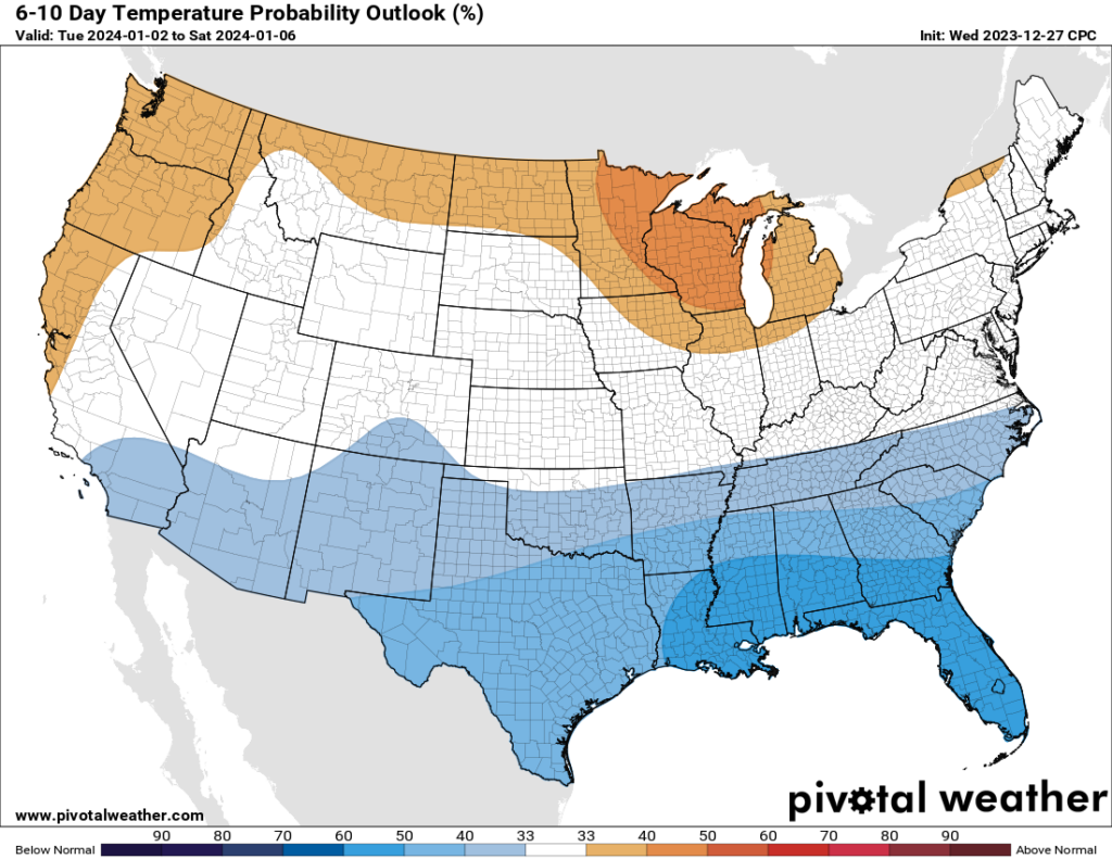
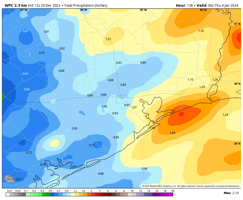
Tuesday should be mostly sunny as well before rain chances increase during the evening and overnight hours as a trough of low pressure moves in. There’s still some fuzziness in the details, but I think most of the area will pick up 0.5 to 1 inch of rain through Wednesday morning. Temperatures remain on the chilly side throughout the week, with highs in the 50s, and lows generally dropping to 40 for most of next week. Some additional rain chances look to return Friday and Saturday.
Unless the forecast for early next week takes a sharp turn, with respect to rainfall totals, our next post will come on January 2 so that Matt and I can enjoy the holiday weekend with our families. We wish you all a safe, happy, and wonderful end to 2023, and start to 2024.
App note
You may have noticed that forecast data isn’t showing up in the Space City Weather app. That’s because the National Weather Service isn’t providing the feed the app relies on for forecasts. An error message indicates that data will return on Jan. 1.
However, we are getting current conditions info, and developer Hussain Abbasi tweaked the app after the NWS feed went south to make sure that shows up. Once the NWS feed returns to normal, so will our app.