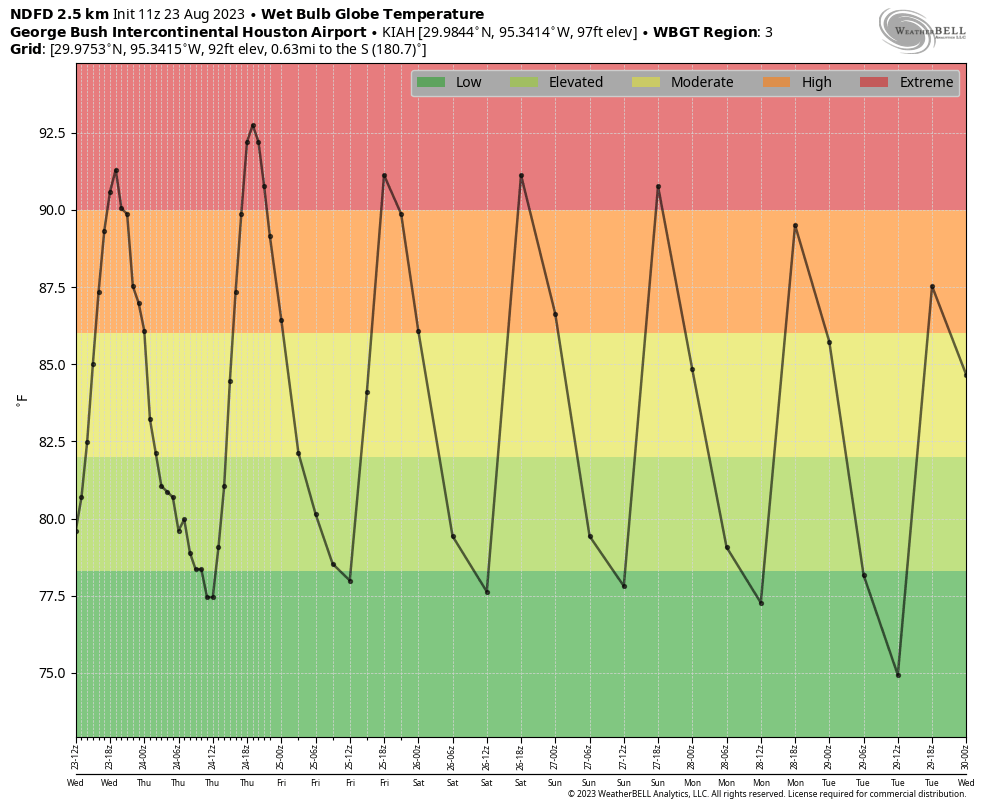
Good morning. Heat remains the dominant storyline of our forecast for the remainder of August, and conditions look to be especially warm from now through the weekend. However, I’m watching for a chance of showers this afternoon and early evening, and for some potential changes in the forecast next week. Also, we’ll discuss a tropical blob in the Caribbean Sea that’s expected to move into the Eastern Gulf of Mexico early next week.
Thursday
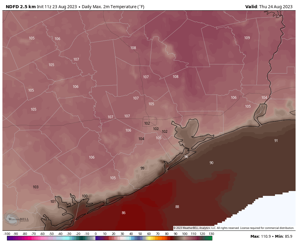
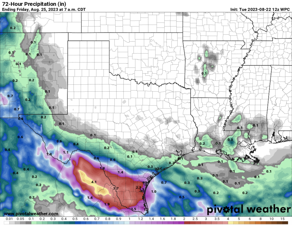
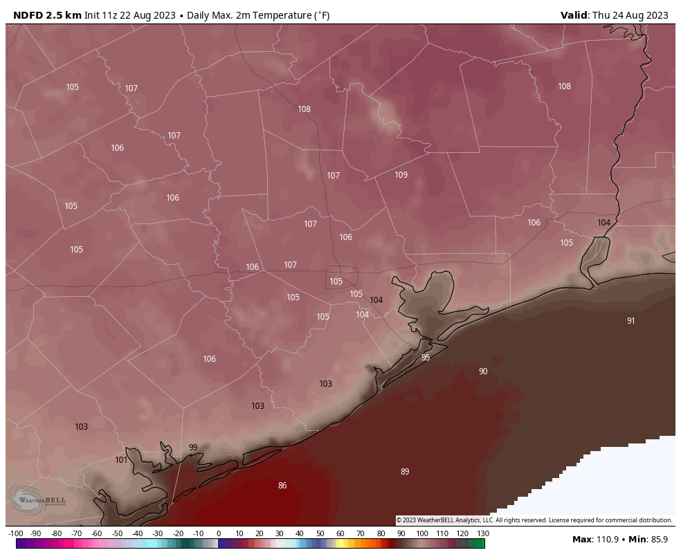
Today is simply going to be blazing hot. Highs will range from near 100 degrees right along the coast to around 105 degrees or higher for inland locations such as Spring, College Station, and Kingwood. Skies will be sunny. With that said, some of our high-resolution modeling is indicating the possibility of an atmospheric disturbance moving southward later today, and this could produce scattered showers from mid-afternoon through the evening hours. I will freely admit that this forecast could be a total bust, especially with high pressure in place. But I think there’s at least some hope for a pleasant surprise with scattered showers this afternoon.
Friday
Another hot day, but temperatures should be a couple of degrees cooler than Thursday. We’ll again see sunny skies, but there’s also the possibility of a few late afternoon showers.
Saturday and Sunday
No changes in terms of temperatures. We’re looking at highs, generally, in the low 100s. Saturday is going to be sunny and hot. Sunday will as well, but at least there appears to be a slight possibility of some rain showers.
Next week
By early next week the dominant high pressure system will be retreating westward, and that at least opens up the possibility of some changes in our forecast. What form, precisely, those will take is yet unclear. At this point I’d guess highs will still be about 100 degrees, but we’ll see some daytime rain chances—whether those are 20 percent or 50 percent, I cannot say. There’s also a slight chance that a weak front pushes down into the region on Tuesday, which could knock humidity levels down a bit. But that is all very tentative. Our weather may also be influenced by a tropical system moving into the Eastern Gulf of Mexico.
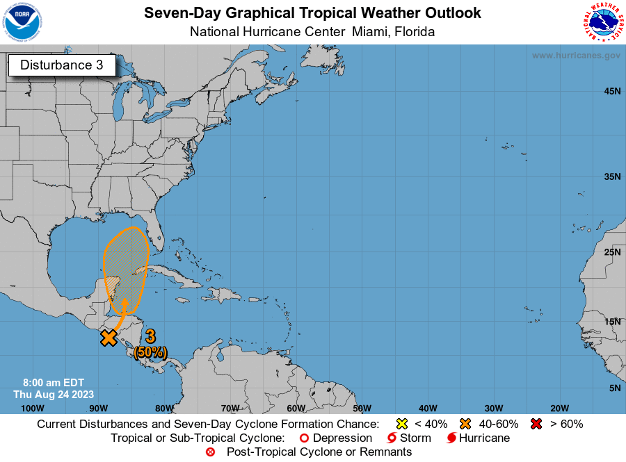
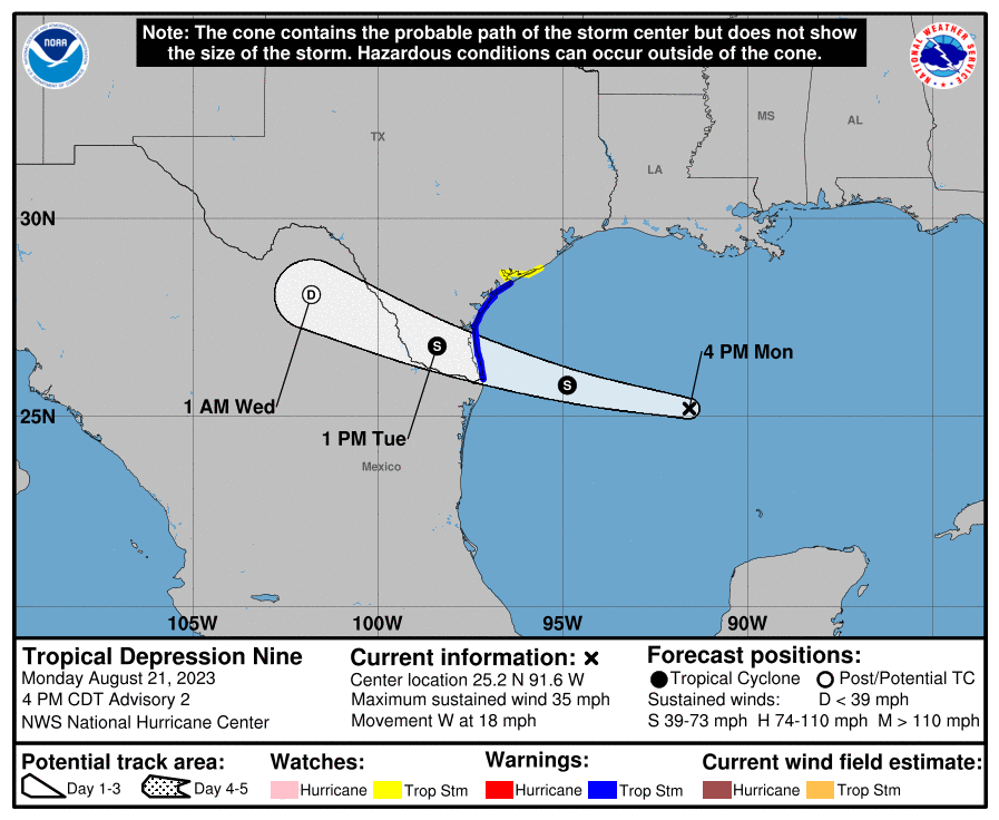
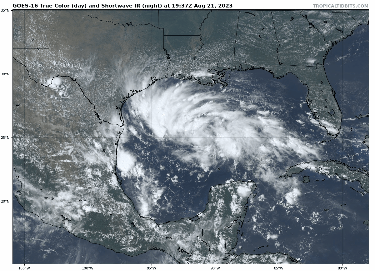
The tropics
For a few days now, the European model has been suggesting that a tropical system will emerge in the Western Caribbean Sea, related to the Central American Gyre, which is basically a broad monsoonal low-pressure system over Central America. Under this scenario a tropical low would then move north, into the Eastern Gulf of Mexico. Note there is far from universal support for this idea in the global models. In any case, such a system would likely remain away from Texas, and push drier air into our region from the northeast. For more detail on this system, check out our Atlantic hurricane coverage on The Eyewall.