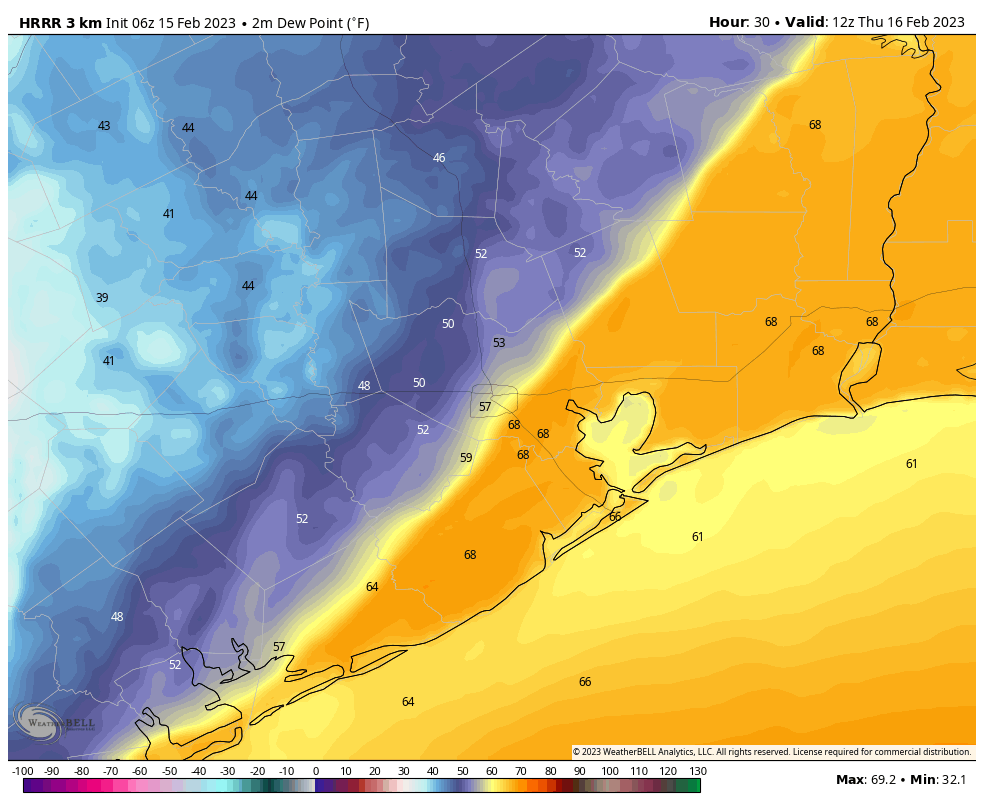
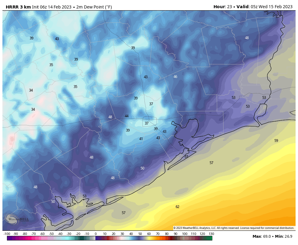
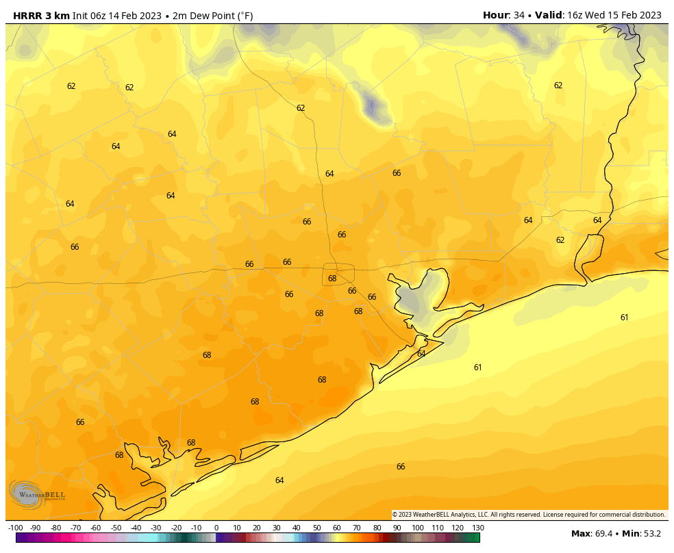
After an outbreak of warmer and humid weather Houston will descend back into winter for a few days as a cold front barrels into Houston this morning. As expected, the front has produced only a thin, broken line of showers as it swept through. Any lingering rain will soon end as much drier air moves in. We’ll be cold through Saturday night before a warm-up on Sunday.
Thursday
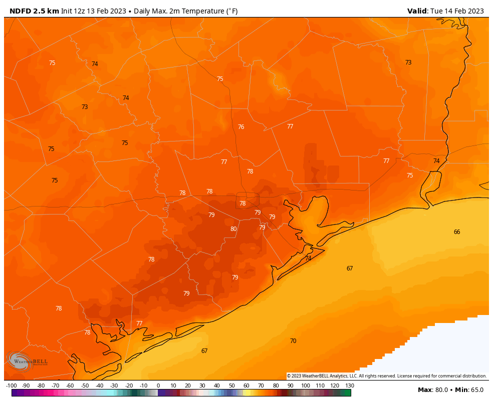
The story of today will be winds, especially for coastal counties including Galveston, where northerly winds will blow at about 20 mph, with sustained gusts up to 35 or possibly even 40 mph near the water. Temperatures start at 70 degrees, and will be in the low 50s by this afternoon, with cloudy skies. Lows tonight will drop into the mid- to-upper 30s in Houston, with a light freeze possible for far, outlying areas
Friday
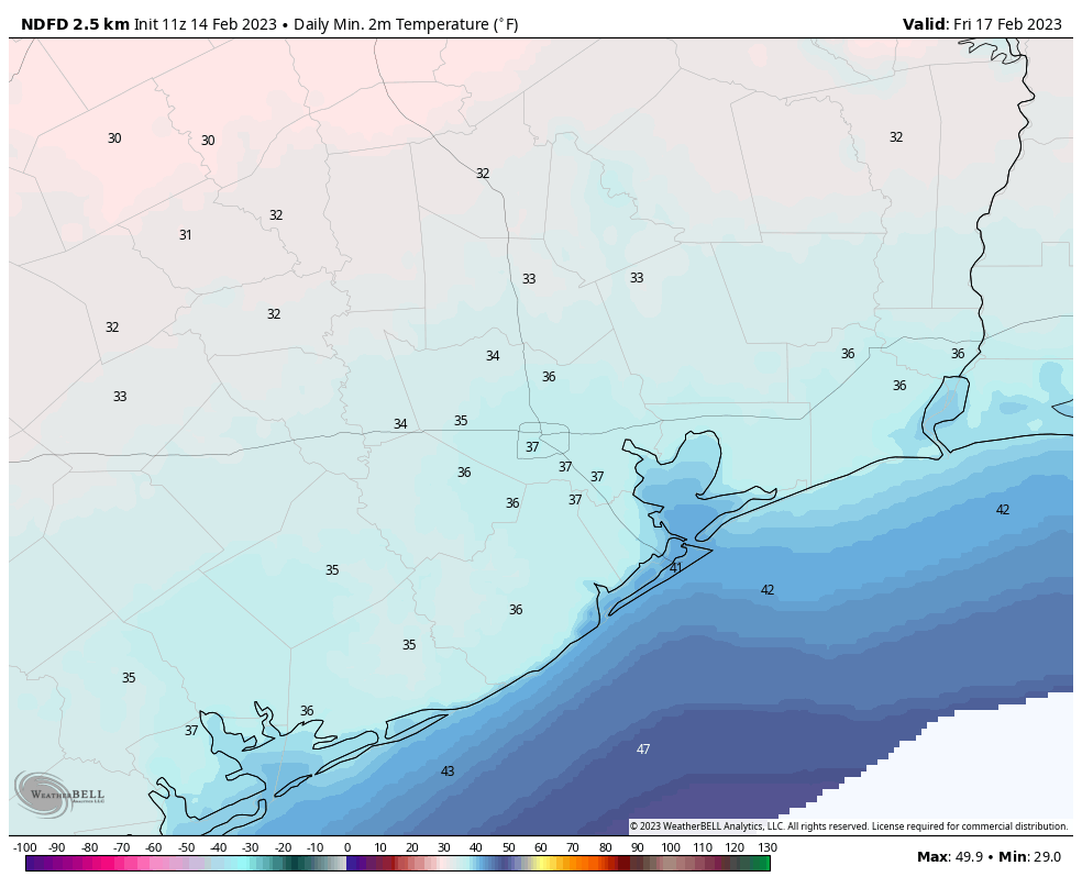
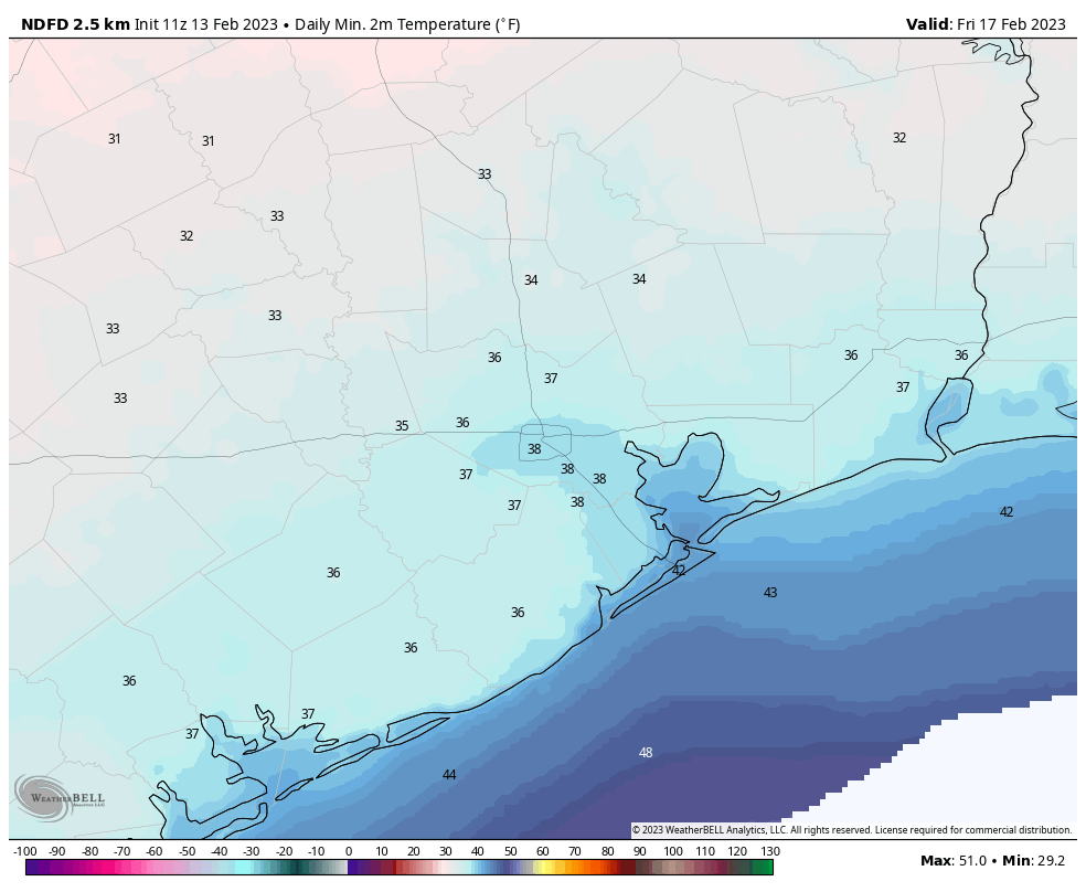
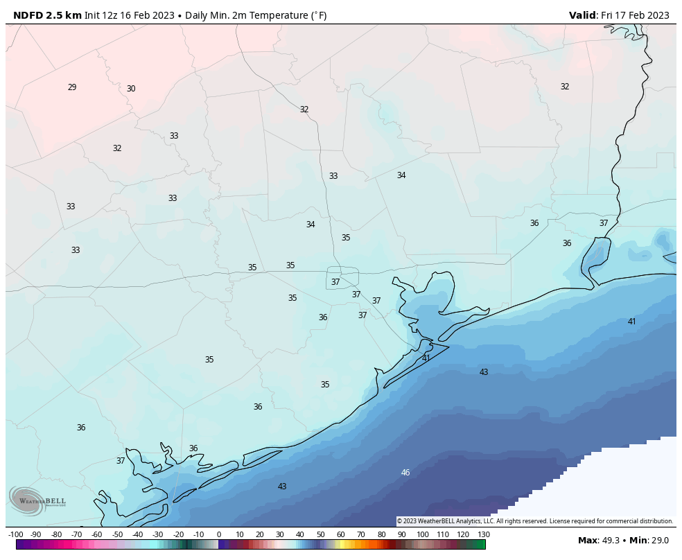
Expect a mostly sunny day, with highs only in the low 50s. Winds will continue to blow out of the north, with gusts possible up to 25 or even 30 mph. These winds will finally slacken overnight Friday, with temperatures again dropping into the mid- to upper-30s for the metro area.
Saturday
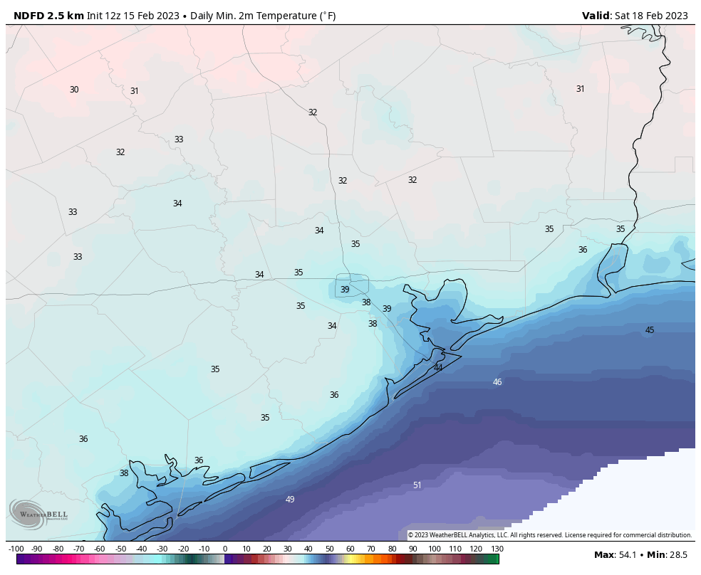
After a cold start, Saturday will see highs in the mid-50s with a mix of sunshine and clouds. As winds start to turn more easterly and then southeasterly, nighttime temperatures will be a tad warmer, in the mid-40s in Houston, and colder for outlying areas.
Sunday
As the onshore flow ramps back up, we’ll see a warmer day with some clouds and a bit of sunshine. Expect highs in the low 70s, probably. Sunday night’s lows will struggle to fall below 60 degrees.
Presidents Day
We’re going back to 80 degrees, most likely, on Monday. Skies will probably be partly to mostly cloudy, but the good news for kids staying home from school is that rain chances still look low, to non-existent.
Next week
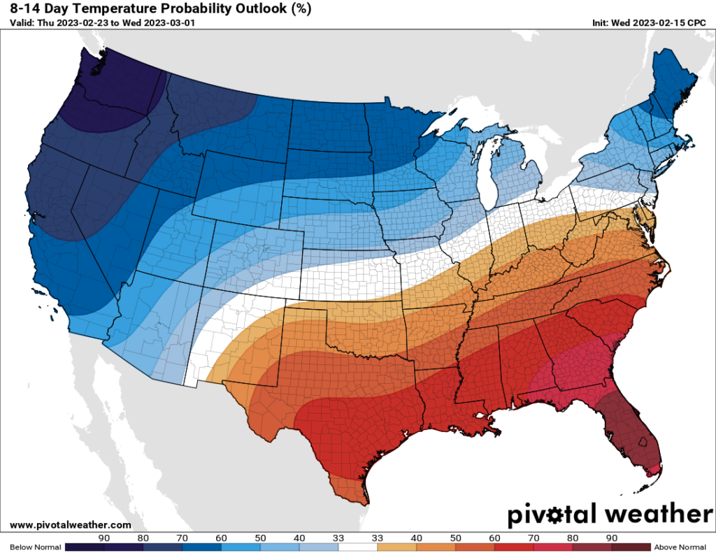
I still don’t have great details about what happens next week, but I do expect warmer weather to last for awhile. We’ll be warm through the mid-week, with perhaps a slight chance of showers on Tuesday and Wednesday. After that it is possible that a fairly weak front will make it through, but it would probably only push daytime highs down into the low 70s. If you’re into colder air enjoy the next three days as that may be it for awhile.