There’s a lot going on with today’s forecast, so let’s get into it. We’re going to focus on four different features: Ongoing, record-setting heat across the area; a weak front moving into Houston today and its effects; the return of extreme heat and humidity this weekend; and finally a bit of a reprieve and increased rain chances next week due to a tropical wave.
Heat streak
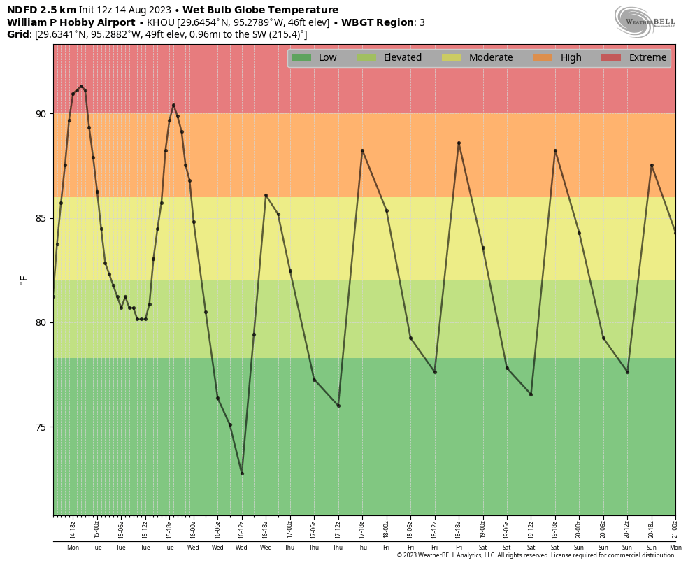
After recording a high temperature of 103 degrees on Monday, Houston’s Hobby Airport extended its string of 100-degree days to 11 in a row. The previous record for the airport location, which has kept records for nearly a century dating back to 1930, was nine consecutive days, set back in 1962. Due to its proximity to the coast, Hobby Airport tends to have fewer 100-degree days than the city’s other major climate location, Houston’s Intercontinental Airport. There is a slight chance of breaking the streak on Wednesday, but if not it likely will extend into the weekend.
Weak front
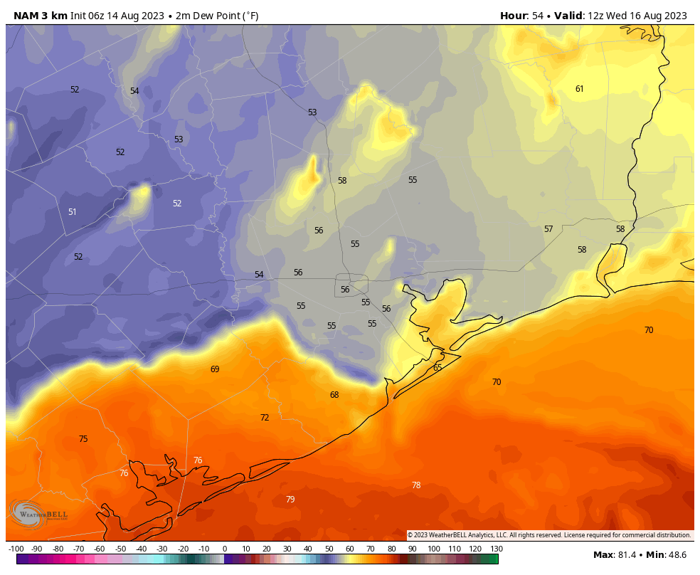
An honest-to-goodness cool front will push into the Houston metro area today. Since it is mid-August, there is not much cooling behind the front, but it will bring some drier air. The front will move in to the region this afternoon, and get hung up around Interstate 10 this evening. During this time there will be stark contrast in dewpoints. If you’re in The Woodlands, for example, the air temperature this evening will be quite warm, but the dewpoints should be low and it will feel rather dry outside. For coastal areas, it will be more of the same—hot and humid. The front should make another push overnight, reaching nearly all the way down to the coast by Wednesday morning. Getting outside around sunrise on Wednesday may be your best chance to enjoy a different feeling in the air before the front retreats north on Wednesday night.
Tuesday
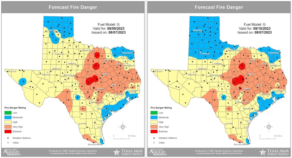
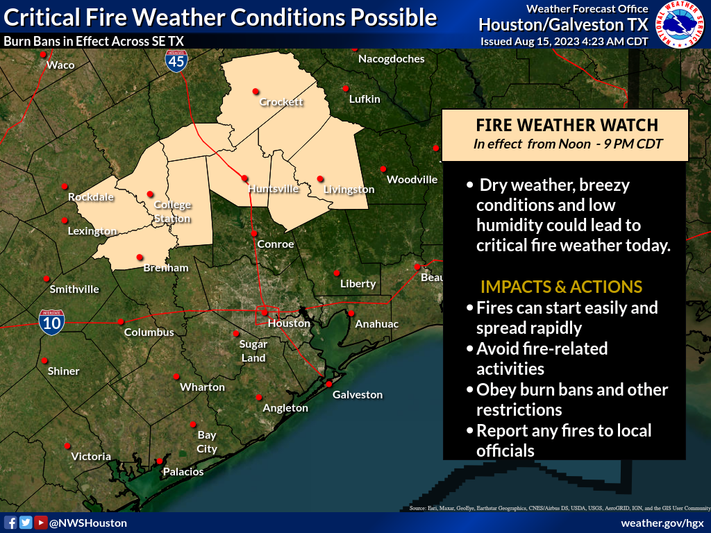
As noted above, the front will bring drier air to the northern half of the metro area today, but air temperatures will still be in low 100s area wide. One concern with the front is that the drier air will lead to fire conditions for the northern parts of the metro area, with relative humidity dropping. This, combined with the dry grass and other fuel on the ground, will burn quickly. A Fire Weather Watch is in effect for this northern tier of counties through 9 pm. With the drier air, overnight lows will drop into the upper 70s for much of the area tonight.
Wednesday
Most of the region will see drier air on Wednesday. Highs will still reach 100 degrees, but at least it will be a drier heat. Rain chances will be near zero, with sunny skies. Humidity levels will start to rapidly recover on Wednesday night, as the front makes its exit.
Thursday and Friday
Unfortunately, we’re going right back into the heat-and-humidity pressure cooker to end the week. Look for highs in the low 100s, with sunny skies and rain chances below 10 percent.
Saturday and Sunday
It looks like another hot and sunny weekend for the region, with highs of 100 degrees to the low 100s. Rain chances may tick up slightly on Sunday.
Next week
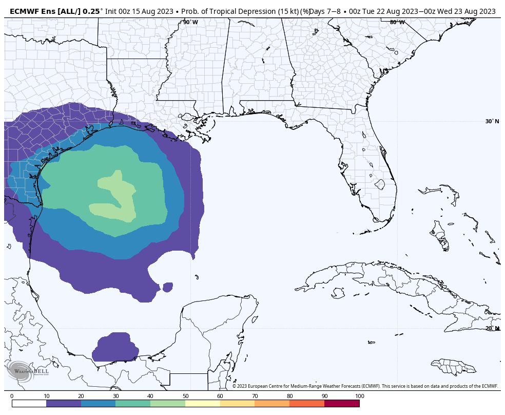
The forecast for next week will see our attention diverted to the Gulf of Mexico, where a tropical wave is expected to develop this weekend and progress westward toward Texas. The following plot, from the European model’s ensemble forecast, shows about a one-in-three chance of a tropical depression in the Gulf of Mexico by next Monday or Tuesday. I think that probably overstates the case, but the point is that some tropical moisture will be moving toward Texas early next week. Whether that impacts the southern part of the state, or the upper Texas coast (that’s Houston and Beaumont), remains very much an open question.
What it does mean is that our rain chances will go up next week. The result could be everything from a smattering of showers to a solid 2 to 4 inches of rainfall, we just can’t say for sure. Depending on how widespread showers are, of course, temperatures may also fall some. So have some hope, but also prepare for disappointment. This one could go either way, but it is the best chance we’ve had for relief for a long time.