Sunny weather ahead for Houston following Tuesday’s storms

Good morning. Before the forecast, let me just say a few words about Tuesday’s storms. Most of the tornadoes associated with this powerful system remained well to the west (Austin), north (Crockett), and east of the Houston metro area. Notably, a powerful tornado struck the New Orleans area on Tuesday night, killing at least one person, and damaging many homes. Such large tornadoes are relatively rare in cities near the Gulf coast, a category which includes Houston. Why? Because the supercells that produce them typically form and pass further inland. This is due to the sharp temperature gradients needed between warmer and cooler air to produce tornadic rotation, which are often not present so close to the Gulf of Mexico. Usually, but not always, the tornadoes we see in Houston are EF-0 to EF-1, with winds of about 60 to 100 mph. An assessment will be performed today to determine the strength of the New Orleans twister.

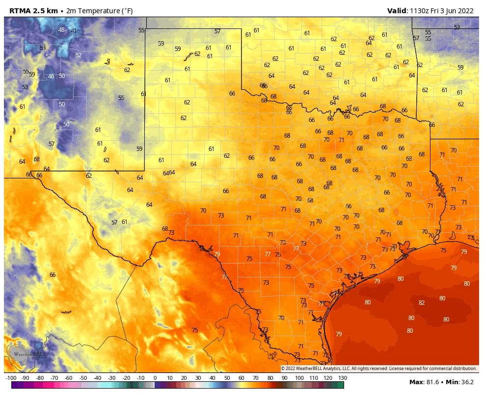
There won’t be too many mornings this cold again across Texas, this spring. (Weather Bell)

Wednesday

Temperatures have generally fallen into the upper 40s across the metro area and winds have died down this morning. With high pressure holding sway we’ll see some gorgeous spring weather this week. I call this “almost painful” weather because living in Houston we know the kind of heat and humidity that is coming this summer, and it’s almost painful to think about how pleasant things are now in contrast. But that’s my opinion of course, I know some of my readers absolutely love summers in Houston. To that I say, bless your hearts. High temperatures will reach near 70 degrees today, with winds out of the north at 10 to 15 mph. Low temperatures tonight will be similar, in the upper 40s for most.

Thursday and Friday

We’ll warm up heading toward the end of the work week, with highs in the low 70s on Thursday, and near 80 degrees by Friday. Lows should still drop into the 50s.

Saturday and Sunday

The onshore flow resumes this weekend, but we still should see fairly dry air and mostly sunny skies. In short, it should be another great weekend for whatever springtime activities you have in mind. Both days should see high temperatures of around 80 degrees, give or take. There are no rainfall concerns.

By Sunday highs should rise to the low 80s for much of the region. (Weather Bell)

Next week

Clouds return to the forecast for the first half of next week, but for now I’m not anticipating much in the way of rainfall. Dewpoints will continue to rise, however, so we’ll become friendly with humidity by Monday or Tuesday. The next front should arrive later on Wednesday or next Thursday, but we’ve now reached the point of the forecast where it should be written in pencil, so we’ll just have to see what this way comes.

Strong line of storms will march through Houston this morning at rush hour

The much discussed cold front is advancing toward the Houston metro area, and will push through the region this morning. It is producing a squall line of strong thunderstorms. This line of storms, presently along a line from Victoria-to-Sealy-to-near-The Woodlands, should reach areas such as Sugar Land, Tomball, and downtown Houston by around or before 7 am CT; League City and Baytown by around 8 am, and have exited the area shortly after that.

Houston radar at 5:12 am CT on Tuesday. (RadarScope)

The good news is that, as these storms have moved eastward overnight across Texas, they have lost some of their severity. Therefore, while there remains a chance of hail and tornadoes, that threat should diminish somewhat as the storms moves through our region this morning. Probably the biggest severe weather worry at this point is straight-line wind gusts of 50 or possibly even 60 mph.

HRRR model forecast for radar activity at 7 am CT on Tuesday. (Weather Bell)

The other concern is heavy rainfall as the squall line moves in. Some areas may quickly pick up 2 to 4 inches of rainfall this morning, flooding streets for a short time as high rainfall rates overwhelm roadways. Again, this threat should end quickly as storms exit to the east.

HRRR model forecast for radar activity at 8 am CT, showing the major storms clearing central Houston. (Weather Bell)

Unfortunately, the Houston metro area will be affected this morning as people are heading to work, and children going to school. If it is possible to delay travel until the squall line as passed your area, that would be for the best.

Beginning later this morning, high pressure will ensure that our weather is fair for the remainder of the week, with plenty of sunshine and pleasantly dry air.

Storms will peak overnight as a slow-moving front approaches Houston

Good afternoon. Overall, the forecast remains on track. Houston will experience scattered showers and a few thunderstorms this afternoon and early evening. The threat of severe weather will increase after sunset, and peak overnight, before storms clear the area on Tuesday morning. Let’s examine the dual threats tonight: Severe storms and flooding.

Severe storm potential

NOAA has updated its severe storm outlook for Monday and Monday night, and upgraded some parts of our region to a “moderate” chance of severe storms. This is the second highest level of threat, and is indicative of the potential for supercell thunderstorms. Such storms can produce large hail, strong wind gusts, and tornadoes. The area with the most favorable conditions for these storms later today and tonight is northwest of Houston, and includes Austin and College Station. Most of Houston faces a lesser albeit still notable threat tonight, while the coast is at less of a risk.

Severe storm outlook for Monday and Monday night. (NOAA)

The bottom line is that strong and severe storms are possible tonight in the Houston metro area, particularly after 8 pm and continuing for about a 12-hour period. Not everyone will see severe weather, of course, and we cannot predict precisely where such storms will develop. So be weather aware, and take shelter in the event a tornado warning is issued.

Heavy rainfall potential

Later tonight the potential for heavier, training rainfall will also move into the picture. The problem is that as the cold front nears Houston early Tuesday it will start to slow down. This may cause storms to slow, and thus produce greater accumulations over certain areas. We’re still looking at 1 to 4 inches for most of the area, but bullseyes of 6 inches or more are possible for some locations, especially away from the coast. For this reason we’ve issued a Stage 1 Flood Alert for the metro are north of Interstate 10. Street flooding is possible in these locations.

Excessive rainfall risk for Monday and Monday night. (NOAA)

The good news is that this mess will clear out pretty quickly on Tuesday morning, taking its rainfall off to our east. But it could make for a stormy night, and potentially a messy commute to work on Tuesday morning before that happens.

Matt will have an update for you later this evening.

Strong storms and flooding are possible Monday night and Tuesday, and a Stage 1 flood alert is in effect for inland areas

Good morning. Houston faces the threat of severe weather later today, and especially tonight, as a slow-moving cold front advances toward the region. This system will be bringing storms across central and east Texas during the next 24 to 30 hours before it finally moves east. During that period we face both the threat of severe thunderstorms, including hail and tornadoes, as well as heavy rainfall. To account for this heavy rainfall, we have instituted a Stage 1 flood alert for the Houston region for areas north of Interstate 10.

Monday

We’re not expecting too much action during the daytime. There will be some scattered showers, but nothing too extreme, as temperatures reach the low 70s beneath cloudy skies. Winds, however, will be noticeable out of the south, with gusts of 30 to 35 mph or even higher at times. For areas west and north of downtown Houston, conditions will start to become more favorable for strong thunderstorms around sunset. At that point storms are likely to sag southeastward, toward central Houston and the coast overnight.

Monday night and Tuesday morning

There will be an abundance of moisture and energy in the atmosphere tonight, which translates into the potential for vigorous thunderstorms. This system will be capable of producing large hail, briefly strong wind gusts, and tornadoes. While this system will be dynamic, and the details are to be determined, generally I think we can expect an initial round of strong thunderstorms during the overnight hours, to be followed by a band of heavier rainfall (with less potential for severe effects like hail and tornadoes) sometime around sunrise on Tuesday morning.

Severe storm outlook for Monday and Monday night. (NOAA)

Overall rain totals will likely be 2 to 4 inches for areas north of Interstate 10, and 1 to 4 inches for locations south of the freeway. Some inland locations will see more than 4 inches, and therefore we have placed areas north of Interstate 10 under a Stage 1 flood alert. Street flooding is the most likely outcome.

If this forecast gives you anxiety, please consider that NOAA’s forecast for storm activity locally is mostly in the orange or “enhanced” category (see above). This is relatively high, but there are two higher gradients of storm potential. So while our area is likely to see some severe activity, your personal chances of being directly affected by a tornado are really very low. With that said, due to the potential for inclement weather, this is time to pay attention. It is important that you have one or more ways to get weather warnings tomorrow night (such as you phone, a weather radio, etc.) Matt and I will provide additional updates today, tonight, and Tuesday morning.

Tuesday

As the front moves through on Tuesday morning it should begin to sweep away the rainfall, with rains likely ending mid-morning for most locations. Skies should clear out fairly quickly on Tuesday as drier air pushes in, with sunny skies in the afternoon and highs in the 70s. Lows on Tuesday night should drop into the upper 40s for Houston, with cooler conditions inland.

NOAA rain accumulation forecast for now through Tuesday morning. (Weather Bell)

Wednesday, Thursday, and Friday

The rest of the week should yield mostly sunny, pleasant weather with highs in the 60s and 70s, lows in the 40s and 50s. Look for a reinforcing shot of drier air sometime around Thursday.

Saturday and Sunday

At this vantage point, the weekend looks nice as well. Look for highs in the 70s or possibly low 80s, lows in the 50s, and partly to mostly sunny skies. Dewpoints will recover some, but the air should still feel pleasant dry outside.