Texas just experienced its 11th coldest February on record

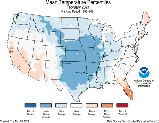
Data are in for the country as a whole in February, and it shows the contiguous United States experienced the 19th coldest February on record, which goes back 127 years. Temperatures were 3.2 degrees below the 20th century average, according to NOAA. This was the country’s coldest February since 1989.

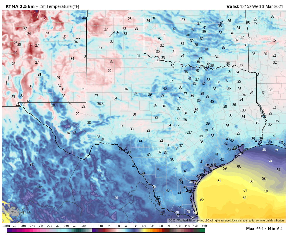
Texas experienced its 11th coldest February on record. Notably, Austin set a record with temperatures remaining below freezing for six consecutive days, Waco had a similar record stretch of nine days, and wind chill values below zero were recorded as far south as the Rio Grande River.

Map showing departure from normal for average temperatures in February.

Tuesday

Temperatures this morning are generally in the 50s, and will be on the rise today with partly sunny skies and warm southerly winds. Expect gusts up to about 20 mph later this afternoon as highs push into the mid- to upper 70s. Low temperatures tonight will only drop to around 60 degrees in Houston, with slightly cooler conditions possible further inland. This warming trend will continue through Saturday, or so.

Wednesday

A continued flow of warmer, southerly air will be the story for Wednesday as well. This will eventually lead to mostly cloudy skies, even as highs push into the upper 70s to possibly 80 degrees. Winds will be gusty, perhaps to 25 mph or so, again peaking during the afternoon hours. Rain chances will be low, around 10 percent, but non-zero. Overnight lows won’t fall below the 60s anywhere close to Houston.

Thursday and Friday

The story remains the same toward the end of the work week, with continued breezy weather and warming temperatures. Highs both days will likely reach around 80 degrees with a mix of sunshine and clouds.

Saturday and Sunday

Our confidence in the weekend forecast is increasing. We can now reasonably expect a continuation of this week’s weather through Saturday—so plan for a warm day with a high around 80 degrees, partly sunny skies, and a reasonable amount of humidity.

Timing of the region’s next front now looks likely to occur some time on Sunday, or Sunday night. This means we will probably see mostly cloudy skies for the second half of the weekend, with increasing rain chances during the day. How much rain? At a guess I’d say perhaps one-half inch with the potential for a few thunderstorms, but we’ll have to iron out that part of the forecast in the coming days. Highs Sunday will depend on when the front pushes through, be it daytime or the overnight hours.

NOAA rain accumulation forecast for now through Monday. (Pivotal Weather)

The story of next week seems to be that of somewhat cooler weather to start the week, followed by a stronger front around Wednesday or so. Bottom line: We’ll feel should feel more like March, with highs in the 60s and 70s, and lows in the 40s and 50s. Details very much to come.

Houston will warm up quite a bit this week

Good morning! Houston just experienced—in my opinion at least—the nicest weekend of 2021 so far. After all of that sunshine and cool, dry air we’ll see a warming trend and likely reach the low 80s this week before our next front works through the area next weekend. Rain chances will be low until then as well. Looking a bit further ahead, next week does look somewhat cooler.

Sunrise temperatures on Monday morning will be the region’s coldest for some time. (Weather Bell)

Monday

Today will be another pleasant spring day, with highs in the low 70s and mostly sunny skies. Winds will begin to be noticeable out of the southeast, at 10 mph or so, and that will start to set the stage for warmer and more humid conditions later in the week. Low temperatures Monday night should be about 10 degrees warmer than Sunday night, but this should still be the coldest night until at least next Sunday.

Tuesday and Wednesday

The story for these two days will be that of building clouds and increasingly brisk southerly winds. We’ll still see some sunshine, as highs get into the mid-70s on Tuesday, but by Wednesday skies should be full-on cloudy. Winds will gust in the 20s on Tuesday, and perhaps in the mid-20s on Wednesday as the southerly flow amps up. Lows will not drop below the mid-60s.

Thursday and Friday

The end of the work week will bring warmer temperatures still, with highs in the low to possibly mid-80s and mostly cloudy skies. This will probably be the warmest and most humid weather we’ve seen so far in 2021. We can’t entirely rule out some light precipitation, but chances are quite low both days.

Saturday, Sunday, and next week

Our weather for this weekend remains something of a question mark as we’re just not sure about the timing of the region’s next cold front. Some models bring the front through on Saturday, and some on Sunday, so for now I’d split the difference and bet on a Saturday night passage. But being honest, our temperatures, rain chances, and humidity for the coming weekend are all going to depend on the front so overall confidence is fairly low. For now, let’s say cloudy, decent rain chances, and highs around 80 degrees on Saturday; and a bit cooler and sunny on Sunday

NOAA temperature outlook for the week of March 15. (Pivotal Weather)

The models generally show cooler weather for next week, with highs perhaps dropping back to the 60s, and lows in the 40s and 50s. We’re not looking at anything like a freeze, I’m pretty sure, but that’s not unheard of in Houston, in March.

A great Spring-like weekend lies ahead for Houston

The overall story remains the same for Houston weather—mostly spring-like conditions, plenty of partly to mostly sunny days, and not too much hullabaloo. We’re now in the period where winter is pretty much in the rear view mirror, and summer is not yet right in front of us. So, in my opinion at least, this is a great time of year to live in Houston.

Thursday

Temperatures are starting out on the chilly side this morning, generally in the 40s across the region. With clear skies and light southeasterly winds we can expect a nice warmup today, with highs pushing to about 70 degrees, give or take. As the onshore flow becomes slightly more pronounced overnight, we can expect skies to turn mostly cloudy, and lows to be about 10 degrees warmer than Wednesday night.

Thursday’s forecast high temperatures. (Weather Bell)

Friday

This will be a mostly gray day as a cool front associated with an upper-level low pressure system moves toward Houston. There will be a modest chance of very light rain throughout the day, but I don’t expect to see anything too organized in Houston. Highs will reach the low 70s for most areas, with the front arriving during the afternoon or evening hours. This will not be a knock-you-in-the-face front, so the colder and drier air will trickle in overnight. As a result, lows likely will only drop into the 50s.

Saturday and Sunday

As we’ve been saying for awhile, the weekend looks great in Houston! In the wake of the front, Saturday should yield mostly sunny skies, with high temperatures in the mid- to upper-60s. Winds should be about 10 to 15 mph out of the north. Lows may drop into the 40s north of Interstate 10, but remain in the 50s closer to the coast. Sunday may be a degree or two warmer, with a few more clouds, as a more southerly flow returns. The night will still hold a chill, however.

Don’t count on too much rain Friday, ahead of the weekend.

Next week

By Monday we’ll begin a more distinct warming trend, and I’m not sure the region’s next front will arrive before next weekend or so. As a result I suspect we’ll see a string of days with highs in the upper 70s, or thereabouts, and lows in the 60s, and amply humidity. I expect a mix of sunshine and clouds, and as of now the models aren’t hinting at any really significant precipitation.

Houston’s weather: Spring-like and pretty dull. Which is great.

Houston’s weather now turns rather boring—and since we’re in March that means good things like dry air and moderate temperatures—so there’s not a whole lot to say about the forecast. Overall, expect some great Spring weather in the days ahead.

Temperatures near sunrise on Wednesday morning across Texas. (Weather Bell)

Wednesday

We’re starting out mostly in the 40s this morning, with some areas far inland touching the upper 30s. Conditions will quickly warm today with sunny skies, and we can expect highs in the upper 60s to 70 degrees. Slight winds are currently from the east, and they will move to come from the southeast later today. We’ll see one more chilly night, with temperatures dropping to similar levels tonight as Tuesday night.

Thursday

Expect another brilliantly sunny day, with highs again near or at about 70 degrees. There will be a bit more humidity with light southeasterly winds in place, and accordingly lows will only drop into the 50s on Thursday night.

Friday

We’ll see partly to mostly cloudy skies on Friday, and highs should work themselves into the lower 70s. Some scattered, light showers may develop during the afternoon hours as a moderate cool front approaches, and moves through the area. Lows Friday night will drop into the 50s.

Rain chances are slightly better east of Houston on Friday. (Weather Bell)

Saturday and Sunday

The weekend still looks great, with partly to mostly sunny skies and highs generally in the upper 60s or so. Saturday night will be a tad cooler, with lows dropping into the 40s, and slightly warmer on Sunday night.

Next week

After this weekend our weather will see a warming trend, and I would not be surprised to see temperatures hit the 80-degree mark by the middle of next week. At that point another cool front will approach, but it’s not yet clear whether this front will make it all the way to the coast, or even close enough to Houston to produce rain showers. That’s something to worry about for another day. For now, we can simply enjoy the weather.