September ended last night, and all told Houston’s Hobby Airport recorded a total of 13.07 inches of rain during the month. This makes it the third wettest September at this location since records were first kept in 1930, the National Weather Service says. Moreover, out of the 1,069 total months of observations, this September ranks as the 20th wettest on record. It was in fact the wettest month at Hobby since August of 2017, when Hurricane Harvey impacted the region. There is no rain to speak of in our present-day forecast, however.
Thursday
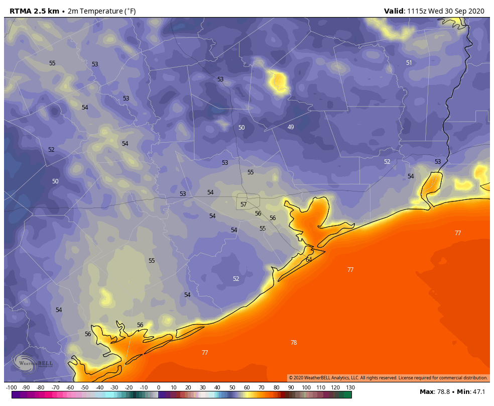
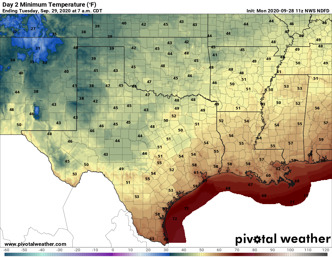
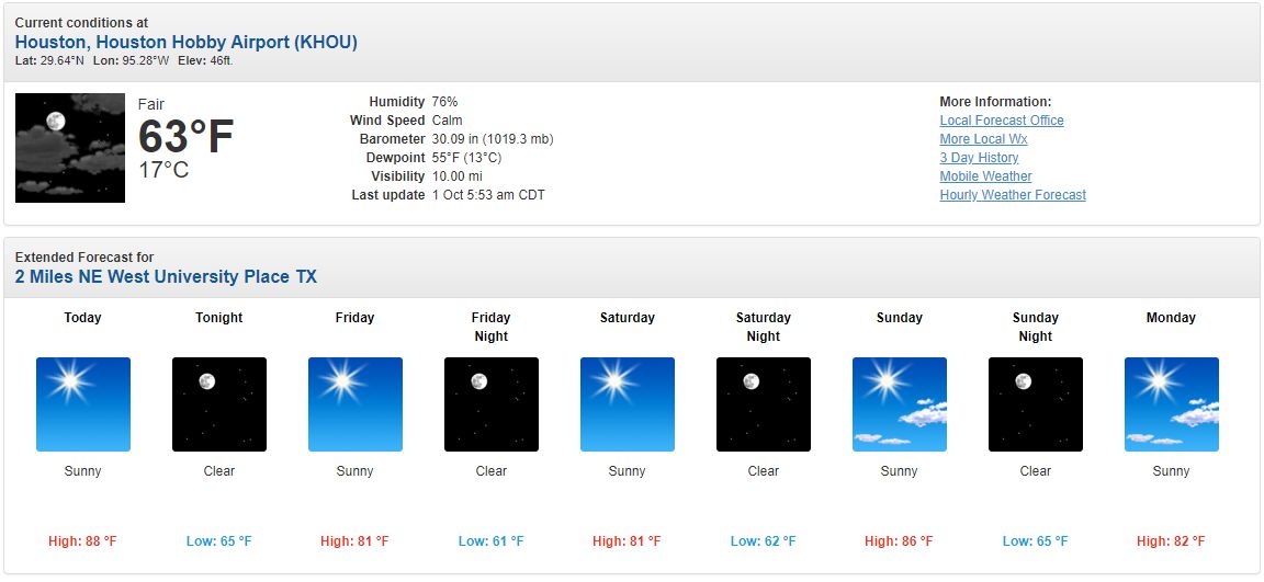
Lows this morning are a few degrees warmer than Wednesday morning, and highs probably will shoot up into the upper 80s this afternoon with the fairly dry air and sunny skies. A front will push into Houston later this evening, but the dry and cooler air associated with it will lag, likely arriving Friday morning. Therefore lows Thursday night may only drop into the mid-60s in the city.
Friday and Saturday
These will be a pair of fine, sunny days, with highs of around 80 degrees. Lows in Houston should drop to near 60 on both Friday and Saturday nights—with warmer conditions along the coast, and cooler weather prevailing inland. By Saturday the onshore flow should resume.
Sunday
This should be a slightly warmer day, with highs reaching the mid, or possibly upper 80s, beneath sunny skies. We still think a secondary push of dry air will back into the area from the northeast sometime on Sunday, although I’m not highly confident in how strong, or persistent it will be.
Next week
The the wake of Sunday’s (weak?) front, expect highs to likely stay within the low- to mid-80s for the first couple of days next week with lows in the 80s. As we’ve been saying this won’t be cold weather, but it will be mild. We still expect some clouds to begin dotting the skies by around next Wednesday as humidity begins to return with vengeance. Some slight rain chances return by Friday or so.
Tropics
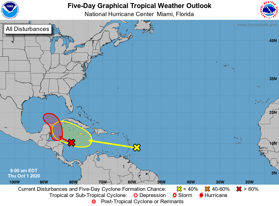
The National Hurricane Center is now tracking two disturbances in or near the Caribbean Sea, and its five-day tropical outlook can look pretty intimidating at first glance. The first system, shown in red, has a 70 percent chance of developing over the next five days, and the follow-on system a 20 percent chance.
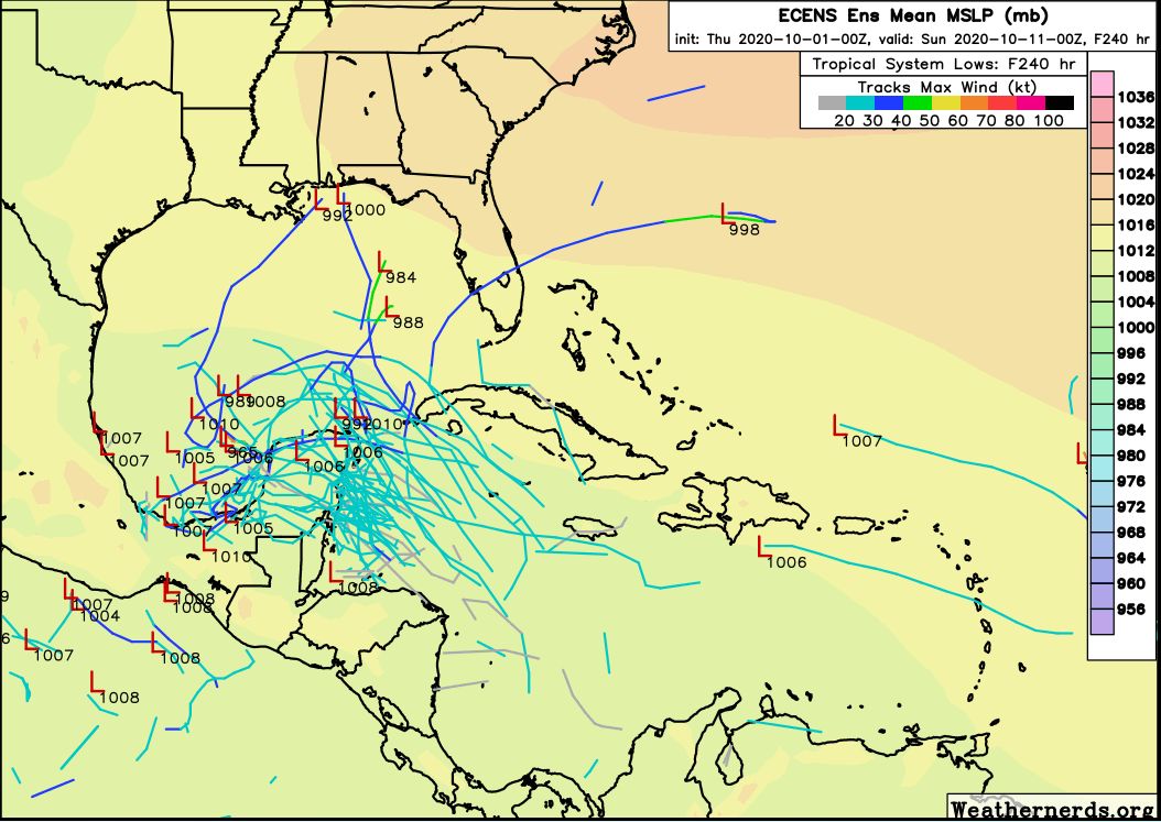
However, the reality is that the overall pattern suggests high pressure moving into Texas early next week should buffer the state from both storms. The map below shows the European model’s ensemble track forecast for all tropical lows from now through next Saturday. The model basically forces anything that forms into the Bay of Campeche, and of those that survive, a few eventually get pulled northeast toward Louisiana or Florida.
So here’s what we think. Is it annoying that there are two potential tropical storms looming in the Caribbean Sea? Sure. Do we believe any of them are likely to threaten Texas in a meaningful way? At this time it’s very difficult to see how that happens.