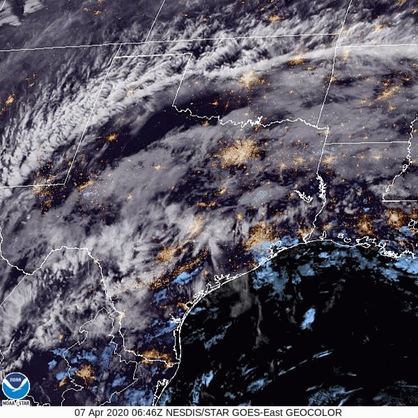
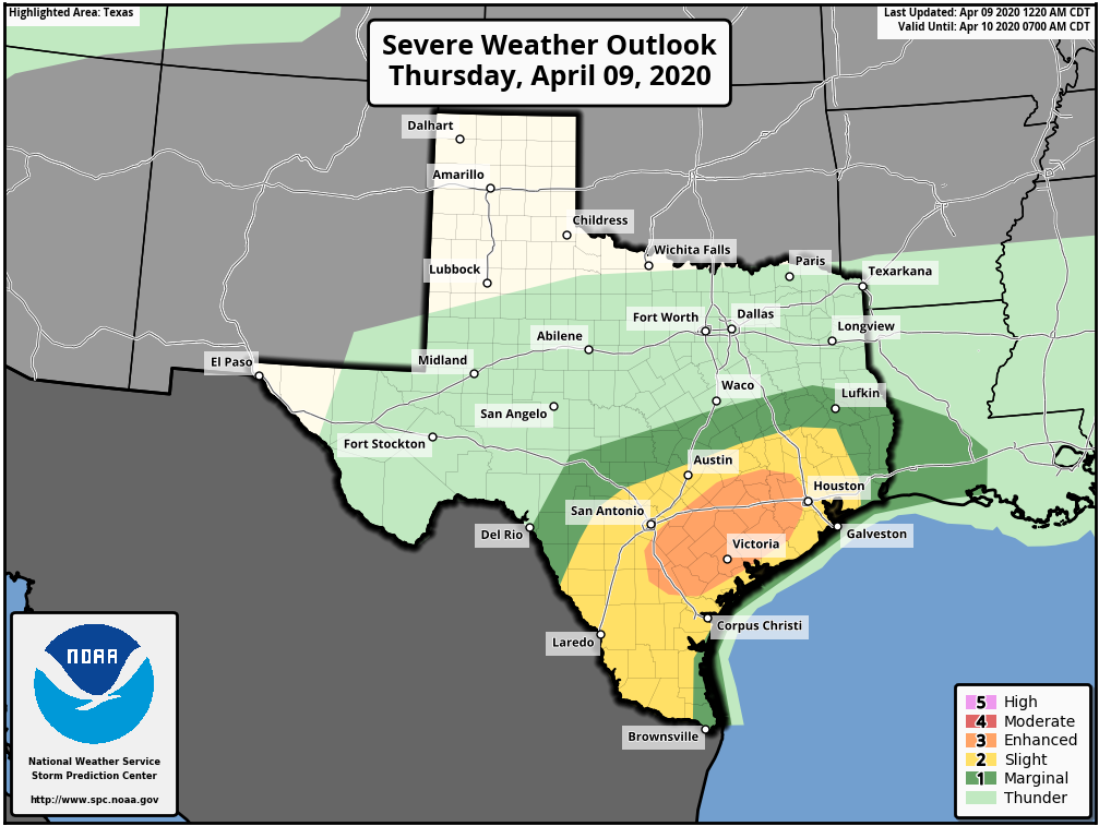
Good morning. Confidence is increasing in the potential for severe weather this afternoon and evening in Houston. The primary threats from this will be strong thunderstorms, and the potential for large hail and downbursts. The chances for hail and damaging winds are better for the western half of the metro area.
Thursday
Skies are mostly cloudy this morning, with temperatures in the 70s. Clouds will remain as highs work their way into the upper 80s this afternoon. Storms are likely to get organized off to the west and north of Houston late this afternoon, and shift into the metro area from about 5pm to 10pm tonight. While most of the region probably will get around 1 inch of rain, or less, these storms have the potential to pretty quickly drop 3 or more inches in some locations. Therefore it is possible we will see some brief street flooding later this evening. The front should exit off the coast, along with the heavier rainfall, by or before midnight.
Friday
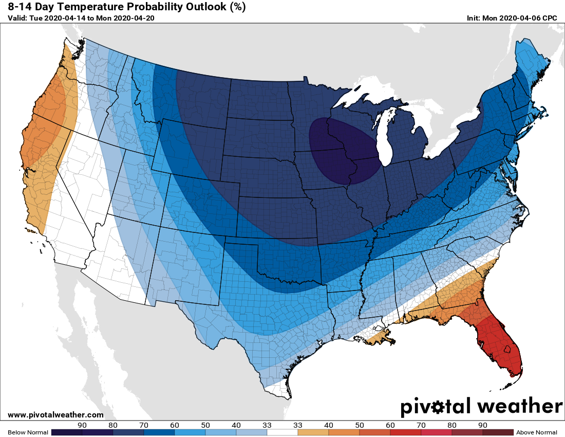
A few light showers may be possible Friday morning before sunrise, but for the most part we can probably expect mostly cloudy skies transitioning to some sunshine during the afternoon hours. With forecast highs in the mid-70s and lower humidity, this could turn into a fairly nice spring-like day. Which is good, because Saturday probably won’t be so nice.