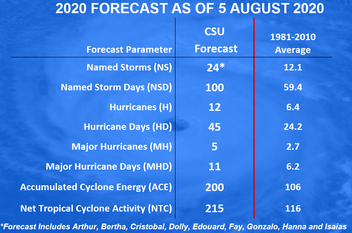
On Wednesday, the longest-running seasonal forecast program, based at Colorado State University, issued an updated outlook for the remainder of the 2020 Atlantic hurricane season. In a word, it’s going to be active. The forecasters are predicting a remarkable 15 more named storms this year, along with 10 additional hurricanes. This is very busy.
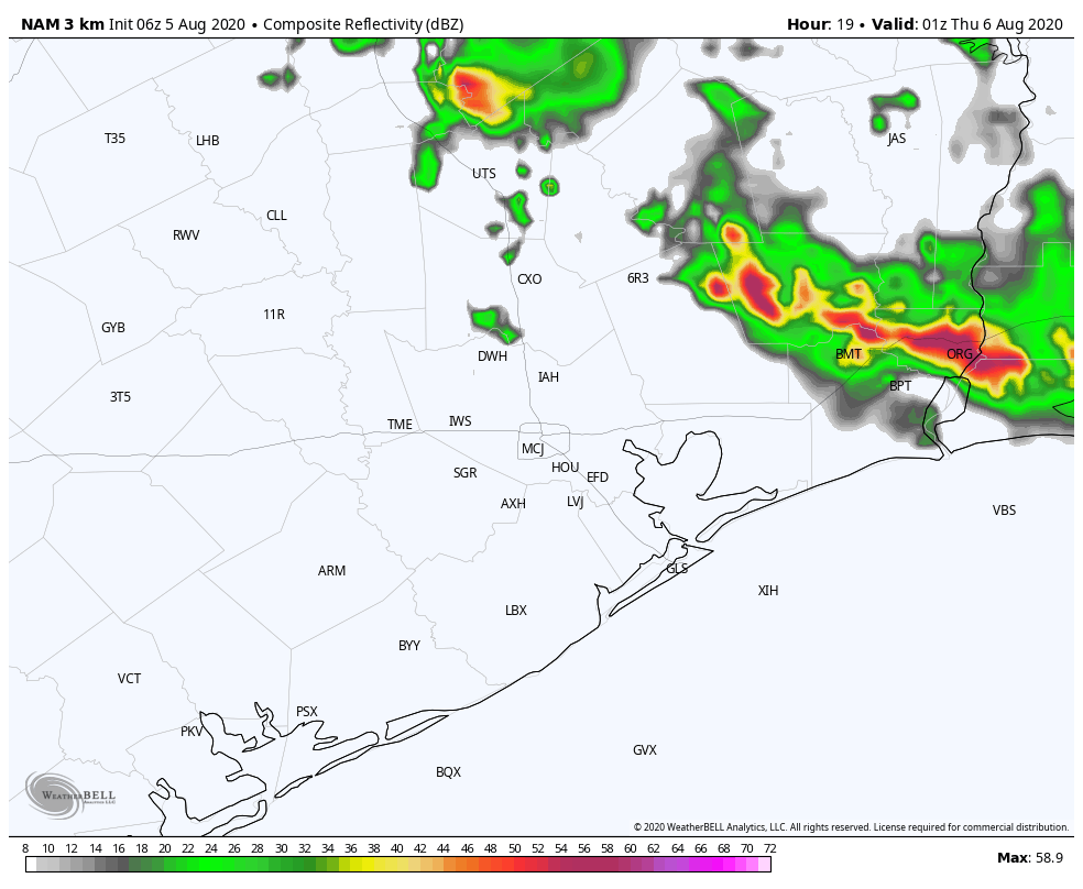
The Atlantic hurricane season officially runs through November 30, but for Texas’ purposes the chances of a hurricane strike fall dramatically after September. So realistically, we’ve got about eight weeks in front of us that we’re really going to have to stay on top of the tropics in the greater Houston area.
One of the biggest issues complicating this year’s hurricane season is that, in addition to the overall tropical activity, it will occur against the backdrop of the COVID-19 pandemic. The virus remains quite active in the greater Houston area, as well as statewide. So with this post Matt and I wanted to provide some basic information about preparing for hurricanes in such an environment. We reached out to both city and county officials for up-to-date information.
Probably the most important thing about preparing for this season is taking the time now to think about how the pandemic will change your plans with regard to your family, any pets, any loved ones in harms way, and more. With hurricanes we sometimes have days and days of warnings, and sometimes we have 48 hours or less with a late-developing storm, or one making a quick turn. Preparing a disaster kit (see checklist), having a plan to protect key records, knowing your home’s vulnerability to storm surge flooding (see map), and under what circumstances you should evacuate are all things that can be done well in advance of a storm.
“It’s vital that everyone in our community take time and effort to prepare, regardless of the circumstances of the time or what the predictions are,” Harris County Judge Lina Hidalgo told Space City Weather. “As we’re all seeing, hurricane season doesn’t give us the courtesy of taking a year off just because we’re coping with a pandemic. Now, more than ever, we implore everyone to develop a plan, to put together an emergency kit, and to build a kit. As you prepare for this hurricane season, take some time to look over your family’s emergency plan and see how COVID-19 may affect it.”
Preparing to evacuate
In recognition of this hurricane season as an abnormal one during a pandemic, the U.S. Centers for Disease Control and Prevention has published a guide on COVID-19 and hurricanes. Here are some of the highlights from this information:
- If you may need to evacuate, prepare a “go kit” with personal items you cannot do without during an emergency. Include items that can help protect you and others from COVID-19, such as hand sanitizer with at least 60% alcohol, bar or liquid soap, disinfectant wipes (if available) and two masks for each person.
- Determine now where you will evacuate to. How will you get there? This detailed map of evacuation routes (it’s a big file) will help you plan now.
- If you are staying with friends and family, talk now about how you would best protect yourselves from COVID-19. If you plan on staying in a hotel, check now to see if they’re open, and can accommodate your needs.
- Pay attention to local guidance about updated plans for evacuations and shelters, including shelters for your pets.