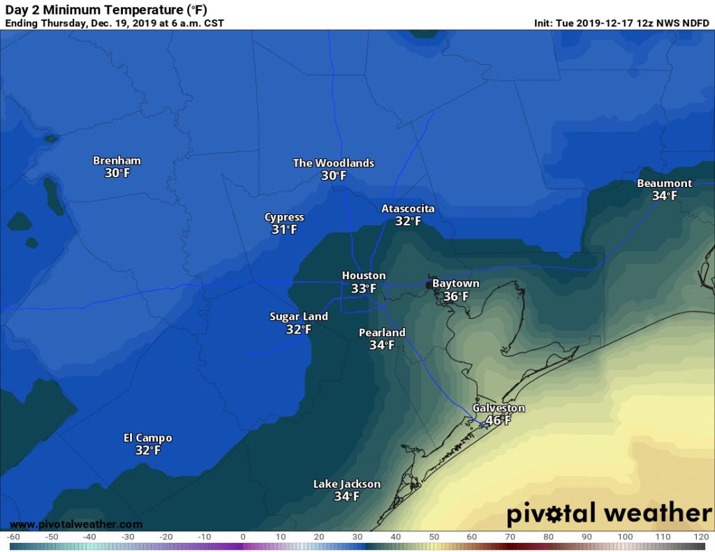
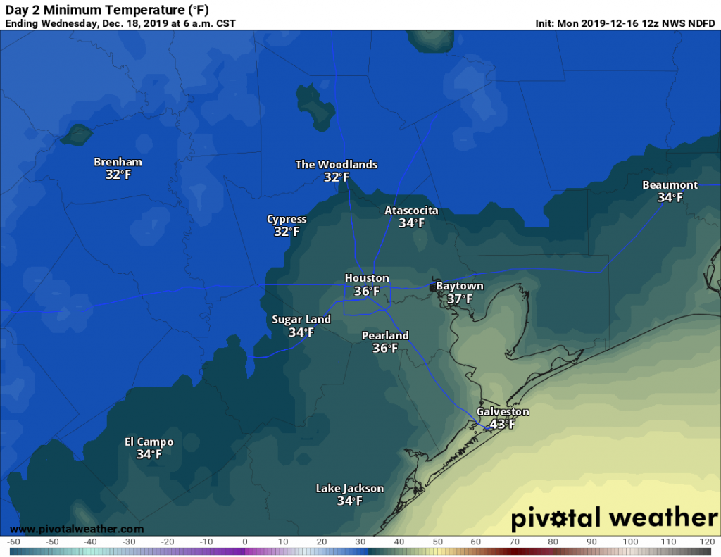
Temperatures have fallen to freezing levels this morning at some locations, including The Woodlands and Sugar Land, while remaining just above freezing in downtown Houston and closer to the coast. In short, it’s a cold morning, but at least the winds have died down across the region. It will feel like winter for a few more days before a warming trend next week.
Wednesday
Today will be a pleasant winter-like day for the region, with highs generally in the upper 50s under mostly sunny skies. Winds will be calm, to just a few mph out of the north. Low temperatures Wednesday night will probably be a couple of degrees warmer than Tuesday night, but a light freeze remains possible for inland areas. Venus is brilliant in the evening sky—be sure and check it out after sunset.

Thursday
Another mostly sunny day, although as light winds shift to come from the east we may begin to see development of a few clouds during the afternoon. Highs will likely rise to around 60 degrees for most of the region. This changing flow, along with additional cloud development, should keep lows in the 40s on Thursday night.
Friday
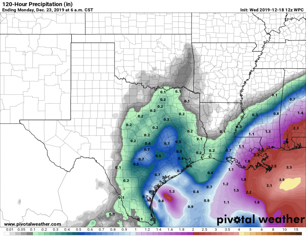
This should be a gray and fairly gloomy day. There will be a couple of impulses for rain—the first during the day with rising moisture levels, and the second early on Saturday morning as an upper level system drags a front through the region. Accumulations look quite modest in Houston, as most of the region probably will see about one-half inch of rain, or less. Regions near Matagorda Bay could see as much as 1 inch. Highs Friday will reach about 60 degrees.


