The northern part of the metro area saw some briefly strong showers on Wednesday, with up to 0.5 inch of rain falling near Tomball and The Woodlands. Since then, the atmosphere has continued to dry out, and high pressure strengthened somewhat. This should continue to diminish the coverage and intensity of any rain showers today, leading to a mostly dry period until Sunday or Monday.
Thursday
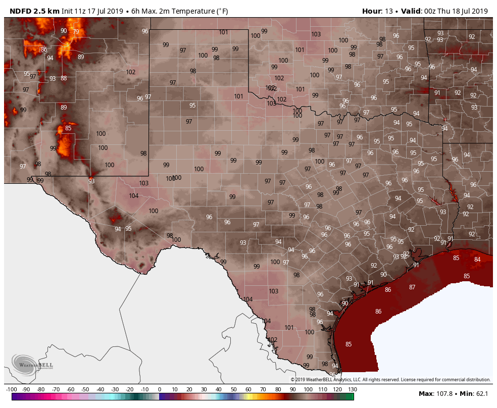
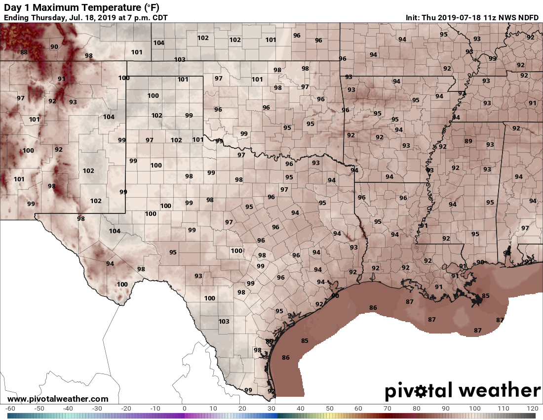
Skies will be partly to mostly sunny today under the influence of the aforementioned high pressure. We can’t rule out some isolated showers along the sea breeze later today, but chances are probably less than 20 percent, and anything that forms won’t last too long. Highs will generally be in the mid-90s with ample humidity. Low temperatures won’t be a whole lot better, with parts of the region not falling below 80 degrees tonight.
Friday
This should be pretty much a hot and sunny day, with highs in the mid 90s and not much else to say.
Saturday
The first half of the weekend looks to be mostly a repeat of Friday, although a chance of some sea breeze storms may creep back into forecast during the afternoon. Overall, look for highs in the mid-90s with partly to mostly sunny skies.