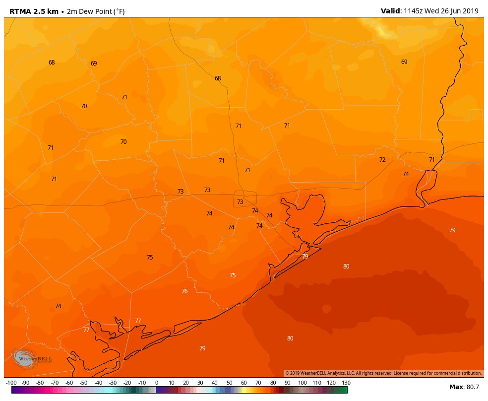
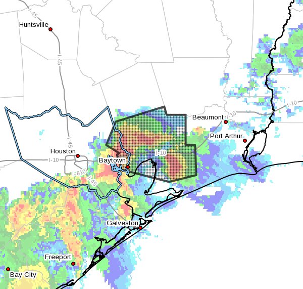
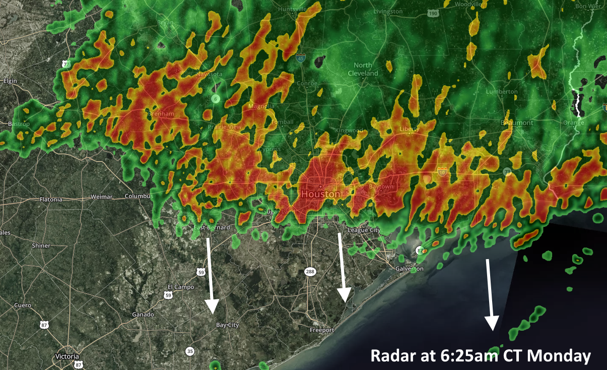
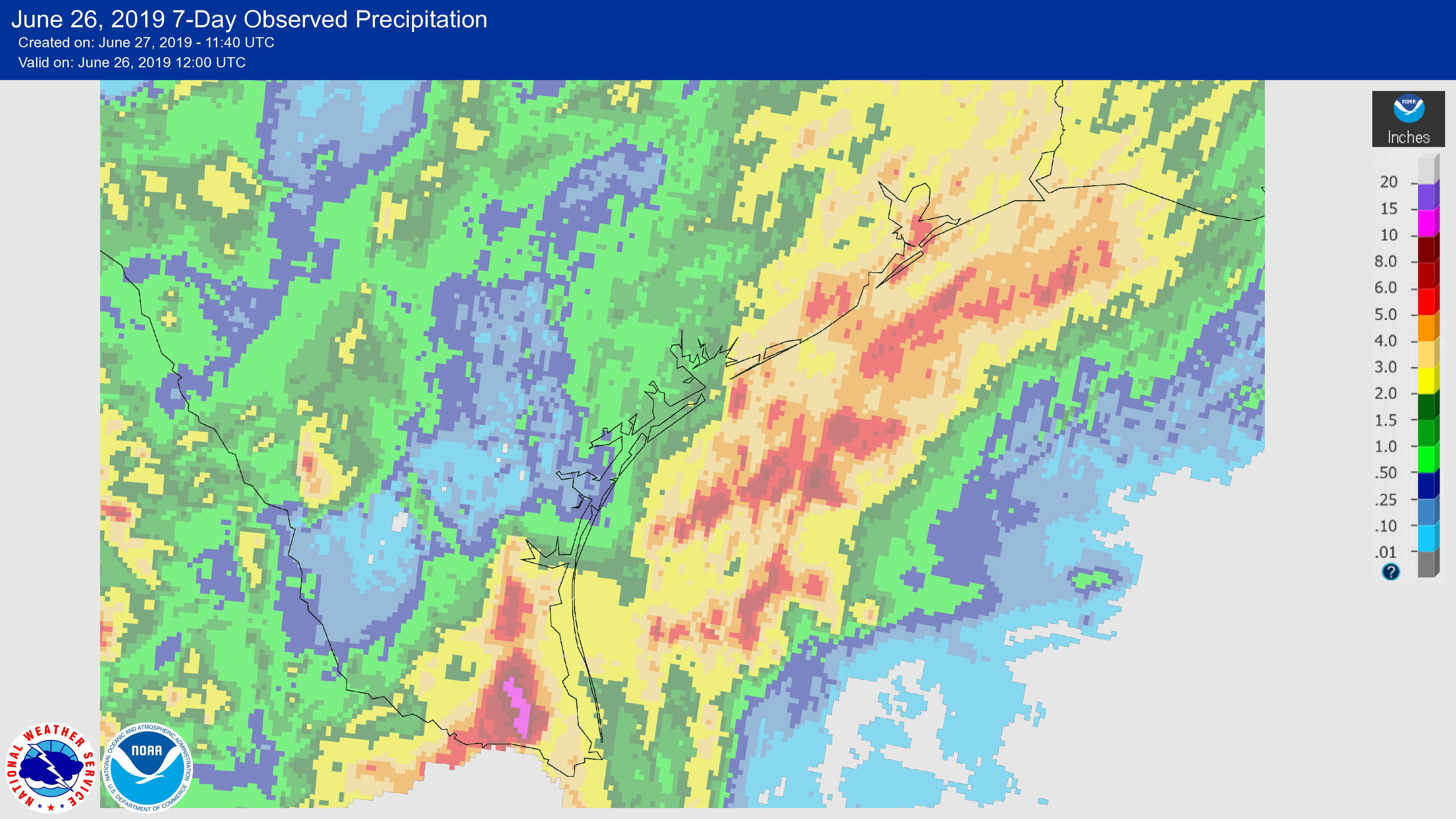
It has been a wet week for much of coastal Texas, with the combination of moist air moving inland, and the absence of high pressure to keep rainfall at bay. The Valley was hit especially hard, with areas near Harlingen and McAllen receiving in excess of 10 inches and experiencing some pretty significant flooding. Closer to home, parts of the coastal Houston region saw 3 to 5 inches of rainfall. We’ll now mostly dry out for a few days before the potential for some heavier rain returns early next week.
Thursday
Today should see the return of mostly sunny skies to Houston, although we can’t entirely rule out the possibility of a few isolated, pop-up storms. But for the most part, we’re just going to see a warm, June summer day with highs in the low 90s and moderate southerly winds. Overnight temperatures may lower into the mid-70s—if you’re lucky, and live far enough away from the coast.
Friday
This should be a similar day to Thursday, although we’ll probably see rain chances on the order of 10 to 20 percent, again in the form of some pop-up showers. Otherwise, expect mostly sunny skies with highs in the low- to mid-90s.