It’s another clear and pleasant morning—low temperatures in the mid- to upper-60s are not to be taken for granted this time of year—and our forecast remains on track with May-like weather ahead. We’re still anticipating some rain, and the potential for storms later Saturday night and Sunday morning, but there is no guarantee this will happen.
Thursday
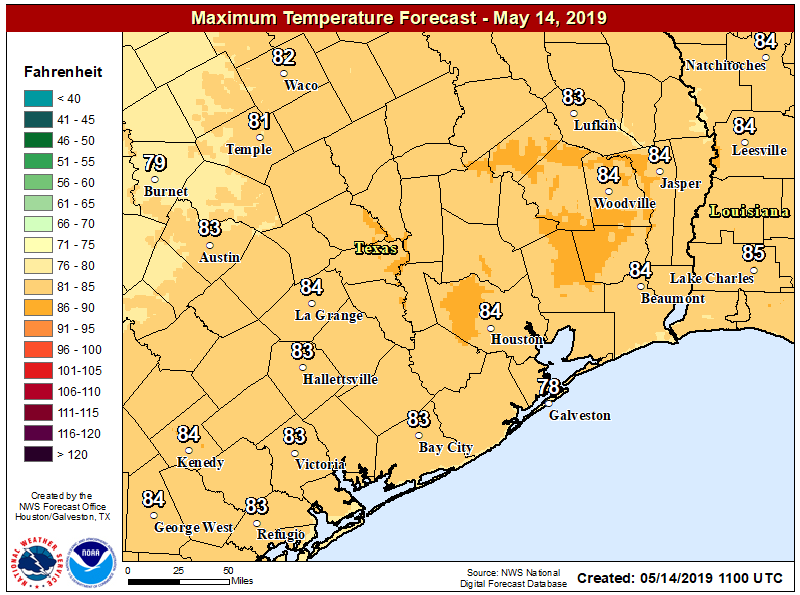
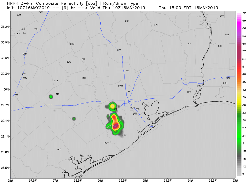
Overall, today will be similar to Wednesday, with mostly sunny skies and high temperatures in the mid-80s. Some high resolution models are showing the potential for some scattered storms that could pop up this afternoon, due to the combination of the sea breeze and daytime heating. The most likely window for these appears to be from 2pm to 6pm this afternoon, with areas along and west of Interstate 45 most favored. These shouldn’t pose too much of a problem unless they develop directly over freeways at rush hour.
Friday
This should be a partly sunny day, with highs in the mid-80s, and another chance of scattered to isolated showers and thunderstorms. More clouds will likely move in later on Friday and Friday night, leading to warmer overnight conditions for the region in the mid-70s.