After a warm, and sunny week, we’ll see the potential for some more unsettled weather this weekend. The best chance of storms will come Saturday night, and if you’re planning outdoor activities this weekend Sunday looks to be the nicer day.
Friday
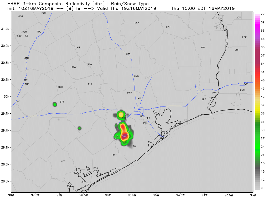
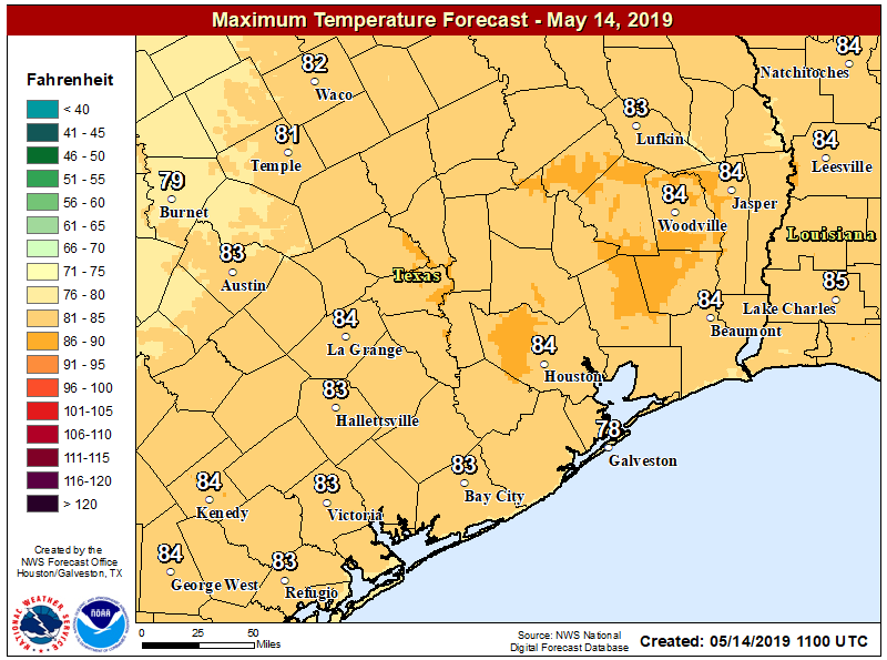
After days of sunshine, partly cloudy skies will return today. This will be due in part to an increased flow from the Gulf of Mexico—you’ll probably notice that in winds gusting up to about 20 mph this afternoon. Some scattered showers may pop up this afternoon, but overall I expect only about 20 percent of the area will receive rain. Highs today will likely top out in the mid-80s, and temperatures tonight will probably be about five degrees warmer than most of this week. Houston has had some spectacular evenings this week, but I’m afraid that kind of somewhat dry weather is about to go away as summer looms.
Saturday through Sunday morning
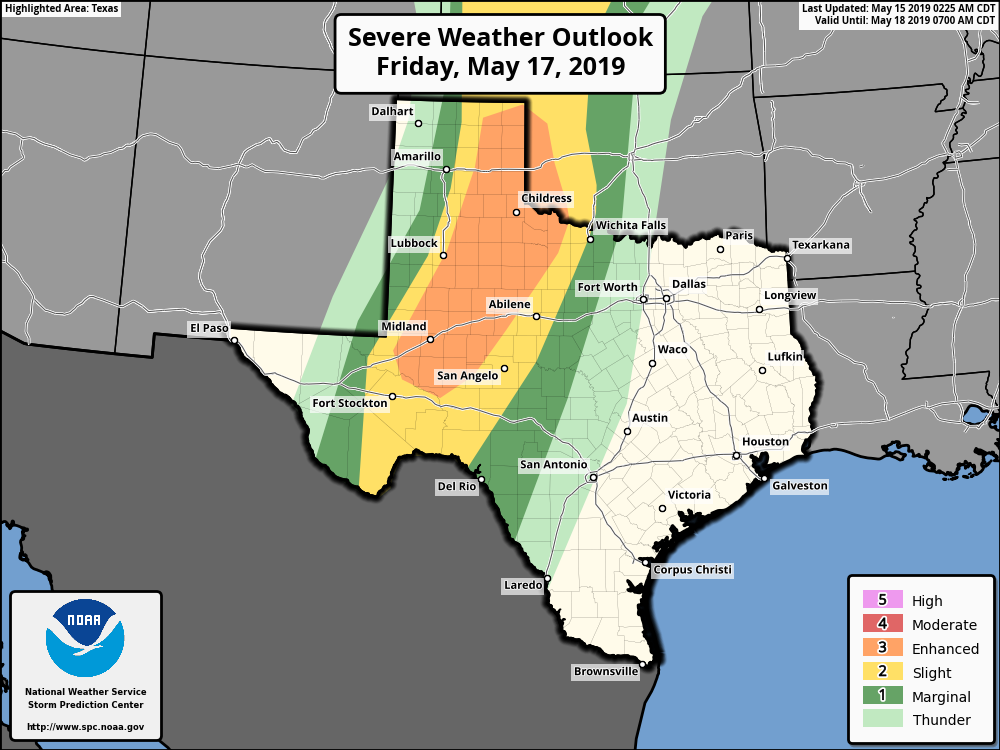
The forecast for the weekend is still a bit murky, with bust potential. By this I mean there’s definitely enough instability to fire off some severe storms beginning Saturday evening through Sunday morning (mostly hail and damaging winds), but there’s about an equal chance that the line of severe storms falls apart as it nears the Houston metro area.
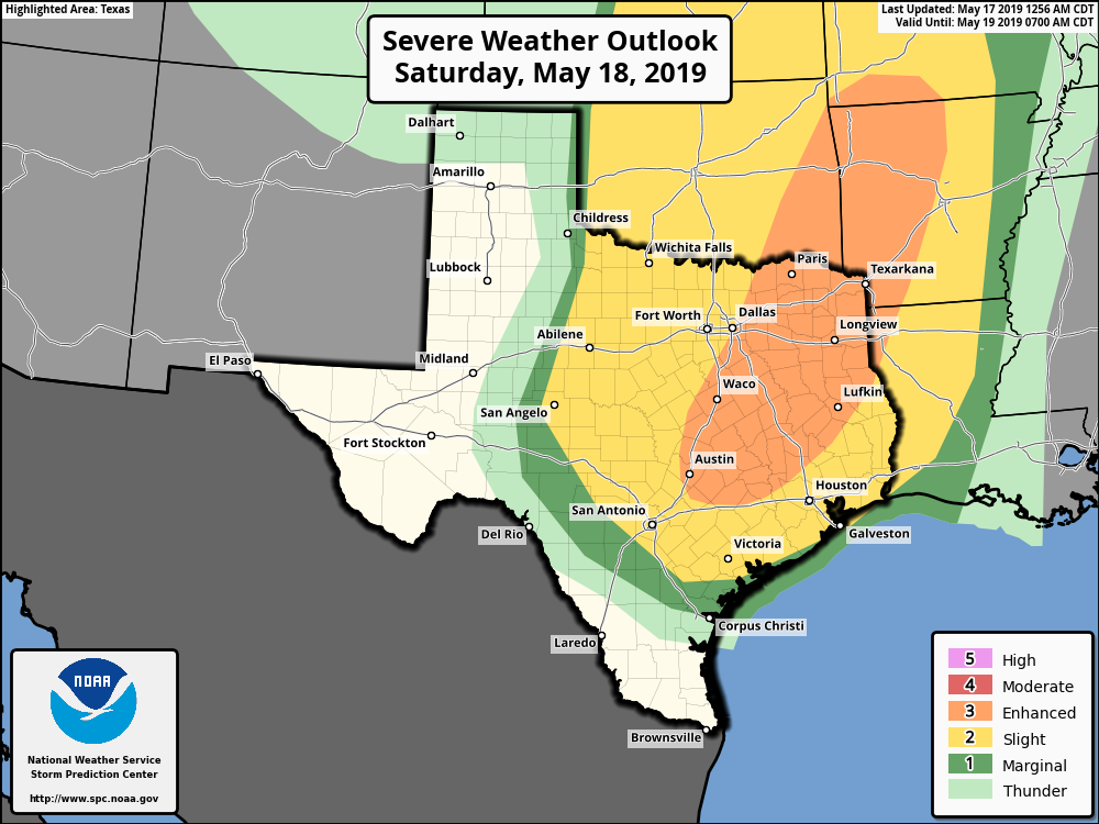
In any case, Saturday will be mostly cloudy, with highs in the mid-80s, and scattered showers throughout the daylight hours. Storm chances will pick up during the overnight hours as the aforementioned storm system moves from west to east. If you’re traveling to Austin, or anywhere on North Texas on Saturday you’ll definitely want to pay attention to the weather, because it is likely that strong storms will develop along Interstate 35.
Whatever ends up moving through the Houston metro area on Saturday night and Sunday morning should be short-lived, so we don’t have any major concerns about flooding, and accumulations should for the most part measure between 0.5 and 1.5 inches of rain.