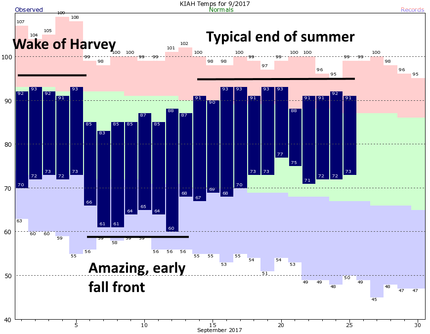
This September started out with some great weather. In the aftermath of Harvey, the region saw drier winds on the back side of the storm, and then, just six days into the month, we received a surprisingly strong early front. Usually the first front washes out in a couple of days, but this one stuck around for nearly a week. Since then, it’s basically been typical end-of-summer weather for Houston.
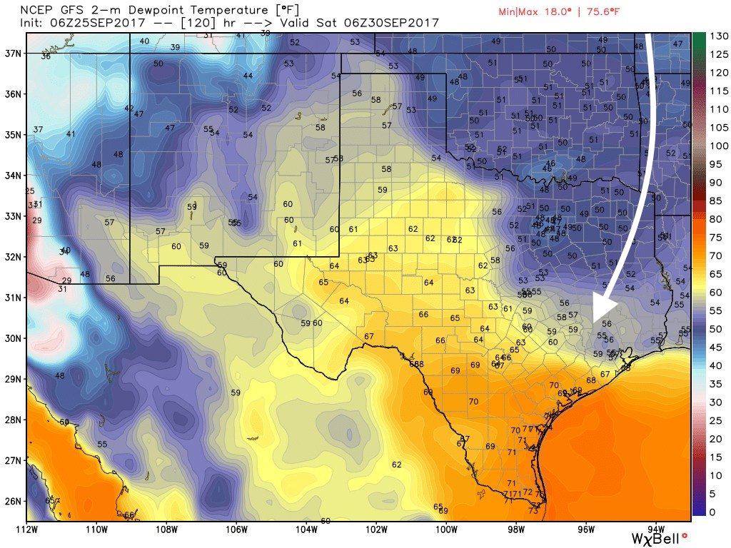
Now we’re about to get the second “front” of the season, but unfortunately this one is going to be weaker than the first. Indeed, this front is more like what we typically experience as the season’s first fall front, which more often brings dry air and slightly cooler weather.
Tuesday and Wednesday
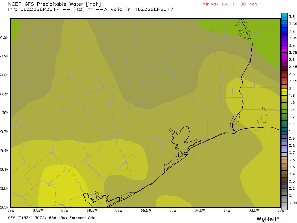
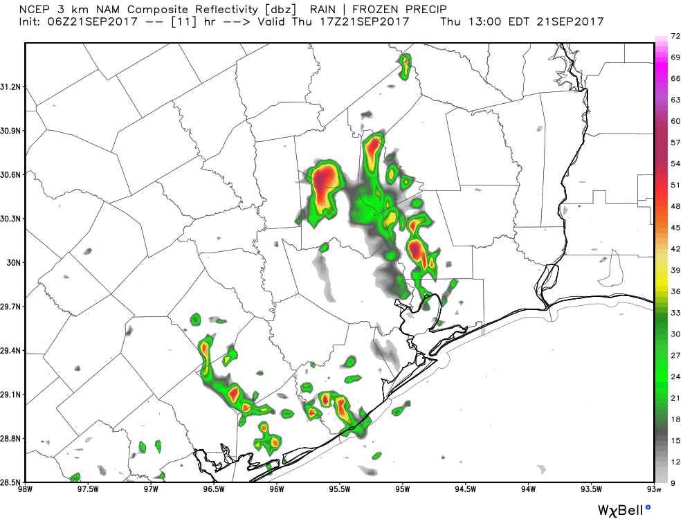
Did you like Monday’s weather? Because the greater Houston region can expect more of the same today and Wednesday. While central and southwestern Texas is pounded by some heavy rains, the greater Houston area should remain mostly dry. I certainly think we’ll see some scattered showers and thunderstorms, especially to the southwest of the Houston metro area—but none of these should present much of a flooding threat. Highs will remain warm, around 90 degrees, with ample humidity.