Good morning. After a spectacular stretch of spring-like weather in Houston last week, conditions will turn more gray, with some rain chances, for most of this week. There’s only a modest chance that storms stray into Houston, however.
Today
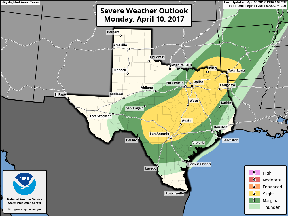
The main driver of the region’s weather over the next couple of days will be a slow-moving cold front that will bring some storms across central Texas as it drifts to the east. For most of the Houston area this probably won’t mean a whole lot, but there is a chance of stormy weather to the northwest of the metro region, particularly for College Station and other areas in the Brazos Valley later today and tonight.
For Houston, highs today will climb to about 80 degrees under mostly cloudy skies, with some gusty southerly winds. I don’t think most of the area will see significant rain today, or this evening.
(Space City Weather is sponsored this month by The Mole, a Jonathon Price novel.)
Tuesday
Rain chances will pick up early on Tuesday, with the possibility of severe thunderstorms moving in from the west. However, again, storm chances appear to be most likely to the northwest of Houston. Most of the Houston region will probably see at least some light to moderate rainfall, but as of now it doesn’t look like we’ll be in for anything too extreme. Inland areas may see about one-quarter to one-half half inch of rain, with lesser amounts closer to the coast. Look for highs around 80 degrees again.
Wednesday and Thursday
The cold front isn’t really going to sweep through Houston, so the region won’t see much cooling. However the atmosphere will begin to dry out and this should lead to a couple of partly sunny days with highs around 80 degrees, or slightly warmer. Nights will remain in the mid- to upper-60s.
Easter weekend
There won’t be any dominant drivers for Houston’s weather this weekend, as no major fronts or disturbances appear likely to move through. Given the relatively high humidity, atmospheric moisture, and potential for some weak disturbances, there will be some chances for light rain during the holiday weekend, but nothing too significant. Temperatures seem pretty well locked in—highs in the low 80s, and overnight lows around 70 near the coast and slightly cooler inland. I’d look for partly cloudy skies most weekend, but not enough rain to ruin most Easter Egg hunts.
Posted at 6:40am CT on Monday by Eric
We had a brief rain on the Ship Channel this morning.
I’m just not seeing that much support for the HRRR idea right now. We’ll see.