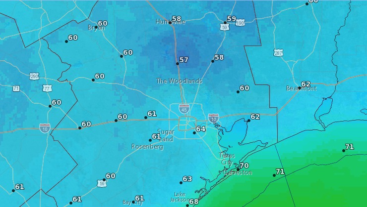
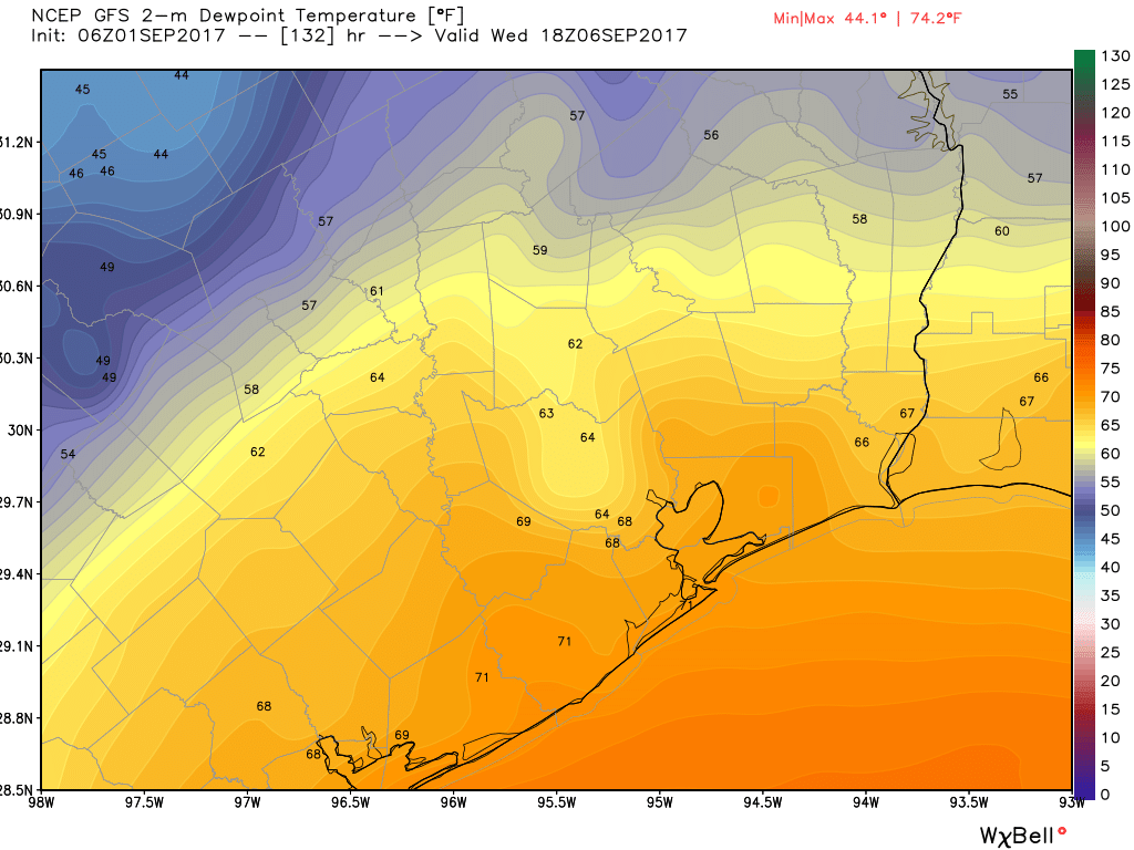
Good morning. I hope everyone is finding some peace on Labor Day morning. Our short-term forecast remains more or less locked in for the Houston area, with warm-ish days through Wednesday (highs in the low 90s) before a cold front moves through and brings absolutely splendid weather for the second half of this week. We may see some decent rain chances on Tuesday and Wednesday due to the approaching front, but even so most areas probably won’t see more than about a tenth of an inch of rain (if that).
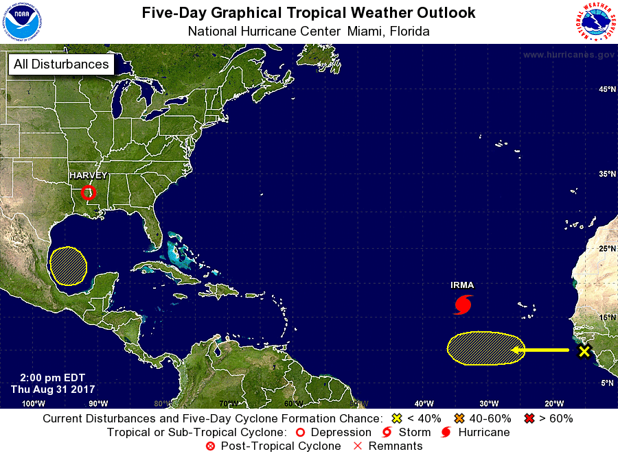
With that said, we’ve had a lot of questions about the tropics—understandably people are still pretty skittish after our brush with Hurricane Harvey. We get that. So here’s a review of what’s out there. Also, I’d like to remind everyone that while the Atlantic hurricane season officially lasts until Nov. 30, for Texas is effectively ends in about three or four weeks. We are almost there, folks.
Hurricane Irma
All eyes are on Irma, a major hurricane with sustained winds of 120mph moving toward the Northwestern Caribbean Sea. It should reach the vicinity of Puerto Rico by Wednesday night, and poses a significant threat to the Caribbean Islands. Here’s the latest (10am CT) track forecast from the National Hurricane Center.
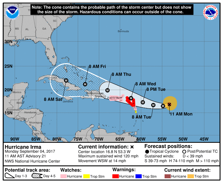
Understandably there is a lot of concern about where the system goes in five to seven days, when it begins to approach Florida and the continental United States. There has been a westward movement in the forecast models over the last day or two, leading to some local concerns that the track may continue to shift westward toward a Texas landfall. We continue to remain pretty confident that is not going to happen.
With that said, the storm’s movement after about Thursday is fairly uncertain. Generally, the ensemble members of both the European and GFS models show the storm moving west-northwest just north of Cuba, and making a turn north just before reaching Florida, over Florida, or just after Florida (into the eastern Gulf of Mexico). Irma is expected to make this northern turn after it finds the western edge of a large ridge of high pressure over the Atlantic region, but at nearly a week from now it’s impossible to determine where that will be.