In brief: In today’s post we have our “please clap” announcement about the beginning of summer. It’s here, and we might as well do our best to survive it. Fortunately we’re not starting off summer this year blistering hot. Also not, we will have higher rain chances during the second half of the week.
Welcome to summer
June 1 marks the beginning of meteorological summer, encompassing the three months of June, July, and August. As we noted last week, summer in Houston typically runs from mid-May through mid-October, and fortunately this year we are not off to a particularly simmering start. For now it appears like we’ll remain in the “Early summer” phase at least through the middle of this month, so that’s pretty good.
Today also marks the official beginning of the Atlantic hurricane season. As usual, the topics to start June this year are pretty quiet, with no points of concern. We’ll be back later today with a post about everything you need to know for the upcoming Atlantic hurricane season, so be on the lookout for that.
Monday
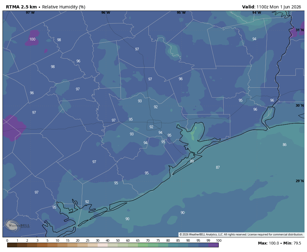
Today will likely produce the lowest rain chances of the week. That’s because the high pressure that brought sunny skies over the weekend will retain some impact into this week, and it will be most influential today. Any showers are likely to be brief, and isolated. We can expect partly sunny skies, with highs around 90 degrees in Houston, a touch higher inland and a touch cooler closer to the coast. Humidity will be sky high. Winds remain light, generally from the southeast. Lows tonight will drop into the upper 70s for most locations.
Tuesday and Wednesday
Rain chances each of these two days will push into 30 to 50 percent chance, with partly sunny skies and highs around 90 degrees. Any showers that do form should pass fairly quickly, so I’m not expecting anything too meaningful in terms of accumulations. Lows at night remain warm and fairly sultry.
Thursday, Friday, Saturday, and Sunday
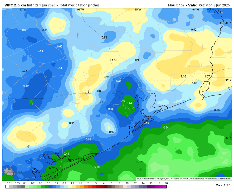
I’m putting these four days together because the forecast picture is fairly muddied. As high pressure moves off the atmosphere will open up to the potential for more substantial disturbances, and therefore more widespread rainfall. But storms will not be wall to wall, and each day will likely have some sunshine in addition to rain chances in the vicinity of 50 or 60 percent.
So for the second half of the week we can expect partly sunny days, with highs in the upper 80s, and the potential for showers often during the afternoon. If you have outdoor plans bear in mind there may be problems, but at this point the forecast is far from certain. I think overall rain accumulations will vary widely through the weekend, but most areas can probably expect between 0.5 inch and 1.5 inch total.
Next week
I think we’ll see a little more sunshine next week, with overall rain chances declining somehwat, but not going away entirely. So basically, it will still feel a fair bit like June.