Yesterday ended up being a nice day after another cold morning. I wanted to highlight a couple superlatives from yesterday. At Bush Airport, we snuck down to 30°, once again, our coldest morning this early in the season since 1999 (11/3/1999). That’s our official tally for the date. Impressively, Hobby Airport got down to 32° on Thursday morning. It hasn’t been that cold this early in the year since 1969, when we hit 28° on November 15th!
30 degrees this morning at IAH; earliest we've done 30 since 11/3/1999 at Bush. It appears Hobby hit 32° this morning, which, if I'm reading the data correctly, would be the earliest freezing temp at Hobby since 1969! pic.twitter.com/Yd5gXjhErs
— Matt Lanza (@mattlanza) November 15, 2018
So for the greater Houston area, it was our earliest freeze in about 20 years, though for a few parts of the area, it was likely our earliest freeze in almost 50 years!
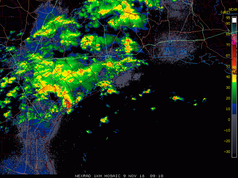
No more freezing temperatures to discuss for a little while, but we will be discussing some more active weather once again.
Today and Saturday
Other than some passing high clouds perhaps, today looks great. Spectacular, even. We’ll warm up into the middle or upper-60s in most of the area. A few spots could push 70 degrees. We added about eight to ten degrees to morning lows today, and I expect we’ll add another six to eight degrees on Saturday morning. Most folks will sneak into the mid-to upper-40s tonight, though a few locations may neglect to drop below 50 degrees.
During the day Saturday, we should see a few clouds rolling back into the area. So we’ll call it partly to mostly sunny. We should be able to hit or exceed 70 degrees on Saturday afternoon.