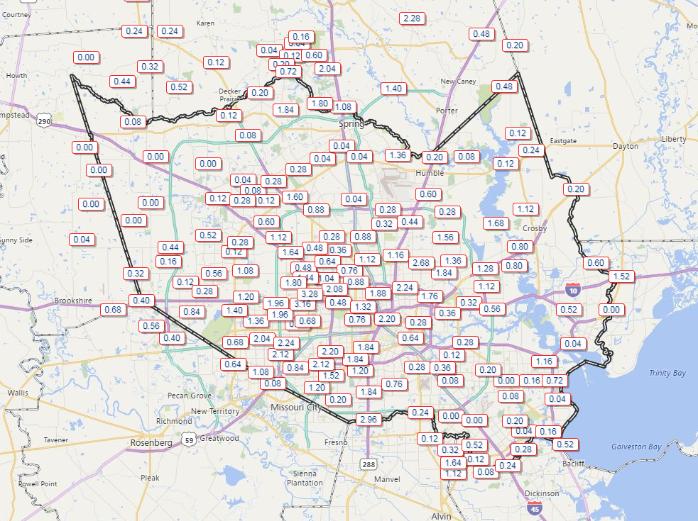
After a few days off, unsettled weather returned on Thursday, bringing some folks over three inches of rain. Others saw nothing at all, but everyone is likely in line to see at least some rain over the next couple days.
Today
Radar isn’t too active this morning with a few scattered showers — mostly light or occasionally moderate rain.
As we go into the rest of today, look for scattered downpours and thunderstorms to blossom from later this morning into this afternoon. Like yesterday, we could see locally heavy rainfall in the most persistent storms. Rain amounts will again vary wildly, with some folks seeing little to no rain, while others could see two to four inches in a relatively short time, along with some localized street flooding.
Saturday & Sunday
Unfortunately, the specifics surrounding the forecast this weekend are going to be difficult to lay out. If you’ve lived in Southeast Texas for any length of time, you know that our rain often follows a pattern of feast or famine: Neighborhoods that get soaked may be adjacent to dry neighborhoods. Trying to predict where and when it’s going to rain this weekend is impossible to do more than a few hours in advance, but we know that both Saturday and Sunday carry high chances that it will rain for a period of time during the morning or afternoon hours.
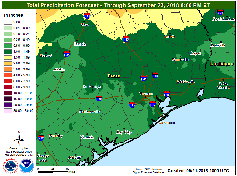
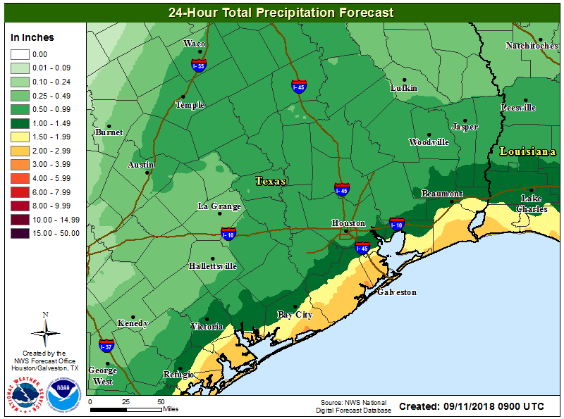
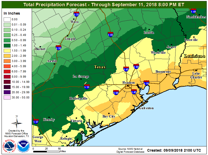
Total rainfall should add up to about an inch to two inches on average across the region by Sunday evening. Some folks will see less than that. Others may see three, four, or five inches of rain or even a little more with some street flooding. If you have outdoor plans this weekend, include an umbrella and an indoor backup if possible. Where the heaviest ultimately falls will depend on how far south a cold front can push, along with other small-scale processes in the atmosphere.
If there’s good news in all this, it’s that our six day string of 90°+ weather should end. We’ll see high temperatures in the mid-80s, with lows in the mid-70s. Yes, it will be unpleasantly humid, but at least it won’t be obscenely hot for later September.