Hot Houston weekend

Yesterday was a bonafide scorcher for Houston, with another 98° day. Really, it was a scorcher almost everywhere in the Eastern and Central U.S. We’re squished under a heat dome here in Texas. Fortunately for us, the heat dome will begin to break down, or at least move around enough this weekend to open the Gulf back up a bit for some showers. It’s going to be hot, but hopefully some of us see a little relief at least.

WEEKEND

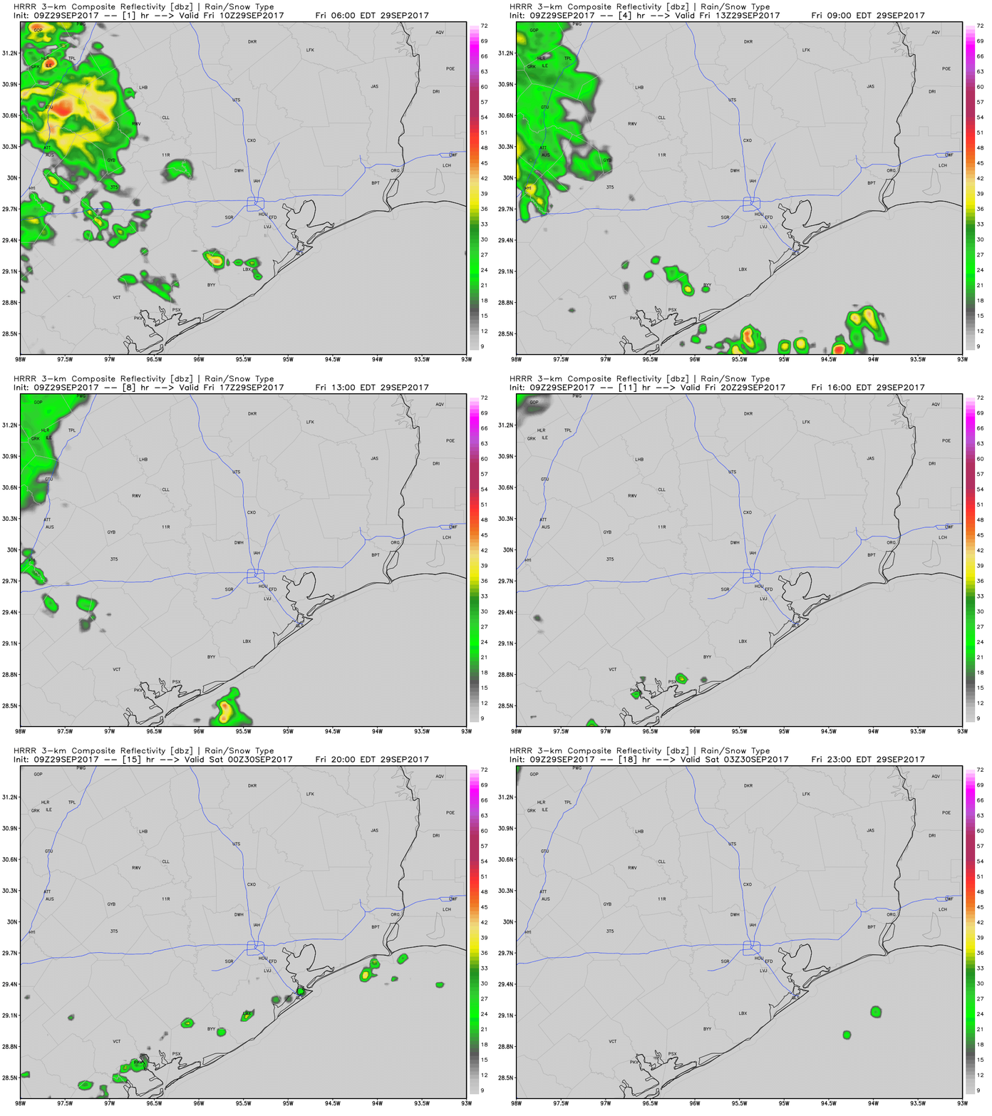
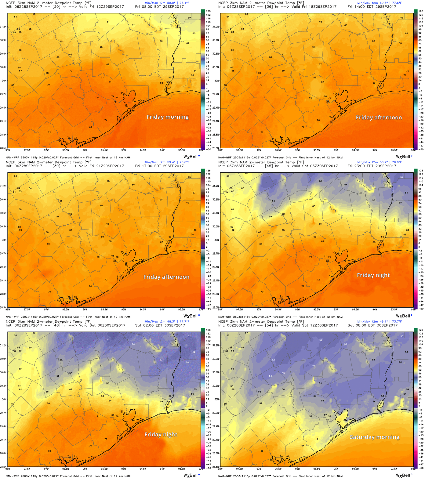
Rain chances will still be on the lower side today, with most activity likely south or east of Houston (most, but not exactly all). The majority of the area should stay dry and hot and humid, but rain chances aren’t quite zero. As we go into Saturday and Sunday, a surge of precipitable water, not too uncommon for this time of year, will come our way from the south and east.

The forecast for precipitable water lurches upward this weekend, increasing our chances for daytime storms. (Weather Bell)

This sets the stage for more “juice” available to fuel daytime storms. So I think coverage of thunderstorms on both weekend days will be more than we see today. Think about what happened on Sunday, Monday, and Tuesday of this past week, and I think that’s a reasonable analog case to what we see this weekend: A scattering of storms that dumps on a few folks, but leaves others high and dry.

See full post

Texas sizzles onward

We had a few showers again on Wednesday, but nothing too exciting by Southeast Texas standards. We may do it once again today, but heat will be the main story.

In case you missed it, Braniff Davis was back with another “Weather Whys” post last evening, discussing the sea breeze and the Gulf of Mexico and how they influence our weather. Check it out here.

TODAY AND FRIDAY

No big changes in the weather for the next couple days. I still expect it to be hot and humid both days, and I still anticipate we will see at least a couple showers blossom on radar each day. Exactly where they go and how widespread they’ll be is up for debate. A weak disturbance rotating around the Plains heat dome will probably set off more organized, but scattered storms in western Louisiana today. I doubt these make it to Houston, but if you live east of the city (particularly, if you live closer to Beaumont/Port Arthur), you may get a downpour later this afternoon. We may try and repeat this on Friday with another disturbance, perhaps getting a bit closer to Houston. High temperatures should again aim for the mid to upper 90s both days (hottest inland, cooler at the coast).

Forecast precipitation today shows the best concentration of storms in Louisiana, although some should cross into East Texas also. (Weather Bell)

See full post

Houston’s summer marches on

Houston’s weather has been a bit noisy this week. After another busy day Tuesday (a bit surprising to me admittedly), today should see the volume turn down a bit. Showers and storms moving through the region dumped 1-2″ on some folks, while others, again, saw nothing but some clouds. Again, welcome to Houston in summer.

Tuesday's rain totals; many places saw at least some rain, though not everyone. (Harris County Flood Control)
Tuesday’s rain totals; many places saw at least some rain, though not everyone. (Harris County Flood Control)

Speaking of, this evening, Braniff is going to have more on some of the “why” behind our summertime storms!

TODAY

Given the action of the last few days, I feel obligated to at least include a chance of showers and a thunderstorm today. That said, weather radar is much less active this morning than it has been the last couple days. The weather models also insist that activity will be less than yesterday. This does have merit, as the heat dome over the Plains has expanded in the last 24 hours, meaning slightly drier air should be taking hold.

Upper air analysis map from last evening shows a more amplified ridge and slightly warmer temperatures aloft, meaning support for storms has diminished some. (Ohio State)

Still, it would be wise to be cautious with the forecast today. We’ll say, “Probably not many showers, but there should still be a few around.”

HRRR model forecast today shows the best concentration of showers south of Houston. (Weather Bell)

Temperatures begin their upward march though: Back into the solid mid 90s today.

See full post

Rain to exit Houston, plus a tropical checkup

Yesterday was certainly fun, wasn’t it? A substantial chunk of our audience saw some pretty strong storms, but rain totals were very sparse. The axis from Pasadena through the Heights saw 1-3″ of rain, but many areas around city heard thunder and saw no rain. Such is the nature of summertime storms in Houston.

Rainfall totals from Monday show some 1"+ totals, but also a lot of zeroes. (Harris County Flood Control)
Rainfall totals from Monday show some 1″+ totals, but also a lot of zeroes. (Harris County Flood Control)

TODAY

We’re already starting off today with a somewhat active radar, as scattered showers reach the coast from about Sabine Pass down through Matagorda Bay. Showers will be around this morning. As we go through the day, I think the best chance of rain will shift south and west of Houston. The further north and east you go from the city, the less storms you’ll see by afternoon (though not quite zero). Temperatures should again try for the mid 90s.

See full post