It’s both a blessing and a curse as a meteorologist to live somewhere that you could almost set a clock to the weather each day. Predictability is great, but they say variety is the spice of life. Houston’s weather has been nothing if not persistent recently. And it looks to continue heading into the next several days.
Today
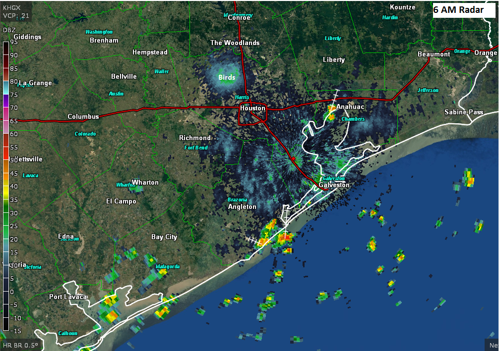
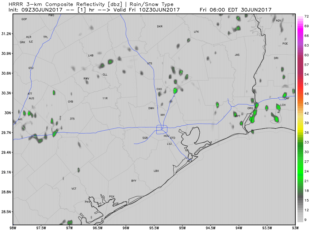
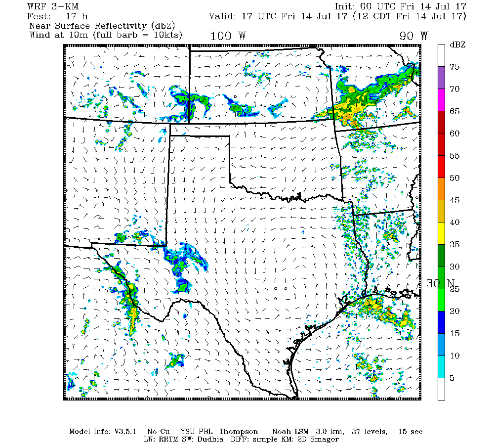
I don’t see a ton of difference between today and any other day we’ve had this week really. But there are enough subtle differences to make me fairly confident we see more showers around today than we did yesterday. Precipitable water (“PWAT,” a measurement of how much moisture is available in the atmosphere) is flat or down just a bit today versus where it was on Thursday in Houston. PWAT remains elevated north of The Woodlands and east into Louisiana today. While it could rain anywhere as we go into this afternoon, the best odds of cooling downpours will probably be near the coast or Galveston Bay this morning and east of I-45 or well north this afternoon. But regardless of where you’ll be in the Houston area, have an umbrella at the ready today.
Temperatures will range from the low to mid-90s where rain is minimal to the upper 80s or lower 90s where downpours are more persistent.