Houston has settled into a typical late-summer like pattern of very warm days and it’s going to take a little while to break out of this I am afraid. The average high temperature this month has been 94 degrees, and with the humidity that has pushed the heat index to near 100 degrees, or above. Not pleasant.
Wednesday
Warm and humid conditions are going to continue today, with highs likely in the low 90s. We can’t rule out a few scattered showers, but for the most part I’d anticipate partly sunny skies.
Thursday and Friday
As high pressure moves off to the west, and some moisture moves in from the Gulf of Mexico, we could see a slight increase in rain chances toward the end of the week, especially on Friday. I still expect showers to be of a mostly scattered nature, and there should be no problems in terms of accumulations. Highs will likely remain in the low 90s, with warm, humid nights.
Saturday and Sunday
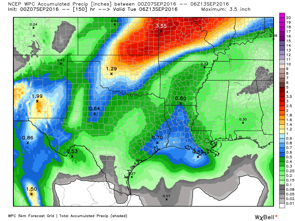
This weekend will see a cold front being pulled down toward Texas. Right now most forecast models suggest the front will stall out north of Houston late Saturday or Sunday. If that happens we can expect highs of around 90 degrees and a continued chance of scattered showers through the weekend, but essentially summer lite. (If the front gets closer to Houston we might see an inch or more of rain, but this possibility seems unlikely at this time).
Next week
Houston will remain in a summer-lite pattern to begin next week, with highs around 90, or in the low 90s. Rain chances will be fairly low as some high pressure builds back over the area.
I’m still watching for the possibility of a cold front, but right now the global models mostly stall the system to the northwest of the Houston metro area, reserving the significantly cooler air for areas west of Interstate 35. It’s still hard to have much confidence in the forecast 7 or 8 days out, so I’d still give the front a moderate (maybe 30 percent) chance of happening. If not we’re going to continue to see highs of around 90 degrees, with not too much of a moderation in overnight lows.
Posted at 6:55am CT on Wednesday by Eric
Houston has experienced 114 inches of rain over the last 17 months. A record?
I got that data and am going to post later today or tomorrow. (Short answer: yes).
Did you post something? Maybe I missed it…?