In brief: We remain in a September holding pattern (not so patiently) waiting for fall to arrive in Houston. A very weak pattern change may arrive by Friday or so, but set your expectations to ‘very low.’
Monday
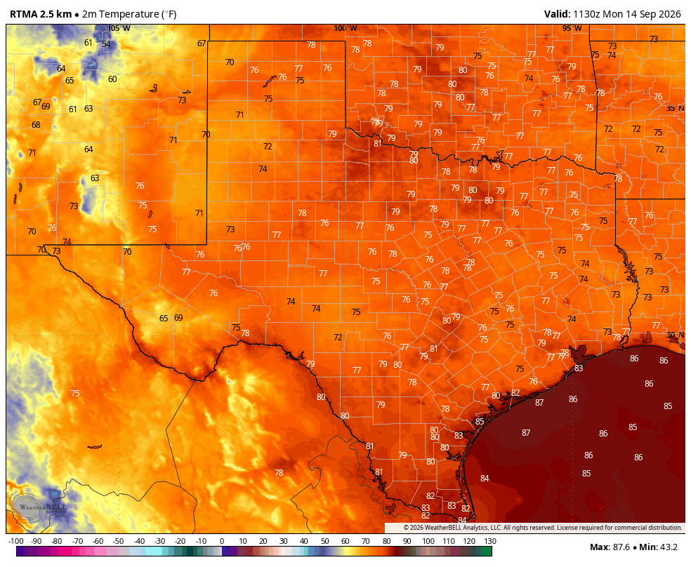
Conditions today will be fairly hot for mid-September, with high temperatures in the low- to mid-90s and mostly sunny skies. There are some widely scattered showers and thunderstorms offshore this morning that should push inland later today, but overall I expect rain coverage to be fairly sparse, likely in the range of 30 percent or so. Winds will be light, from the southwest, at 5 to 10 mph. Overnight lows remain warm, with temperatures only briefly falling into the upper 70s.
Tuesday and Wednesday
The upper-air pattern will favor hot and mostly sunny conditions for the mid-week, with highs in the low- to mid-90s. Rain chances won’t exactly be zero, but they’re likely on the order of 20 percent daily, so for most of us, probably not. Nights remain warm and sultry.
Thursday
We may see a bit of a surge in tropical moisture, and this could help bump up our rain chances a little bit on Thursday, and perhaps increase our cloud coverage a little bit. Overall I would not expect too much in the way of accumulations, but we’ll see. Highs will likely be in the lower 90s.
Friday, Saturday, and Sunday
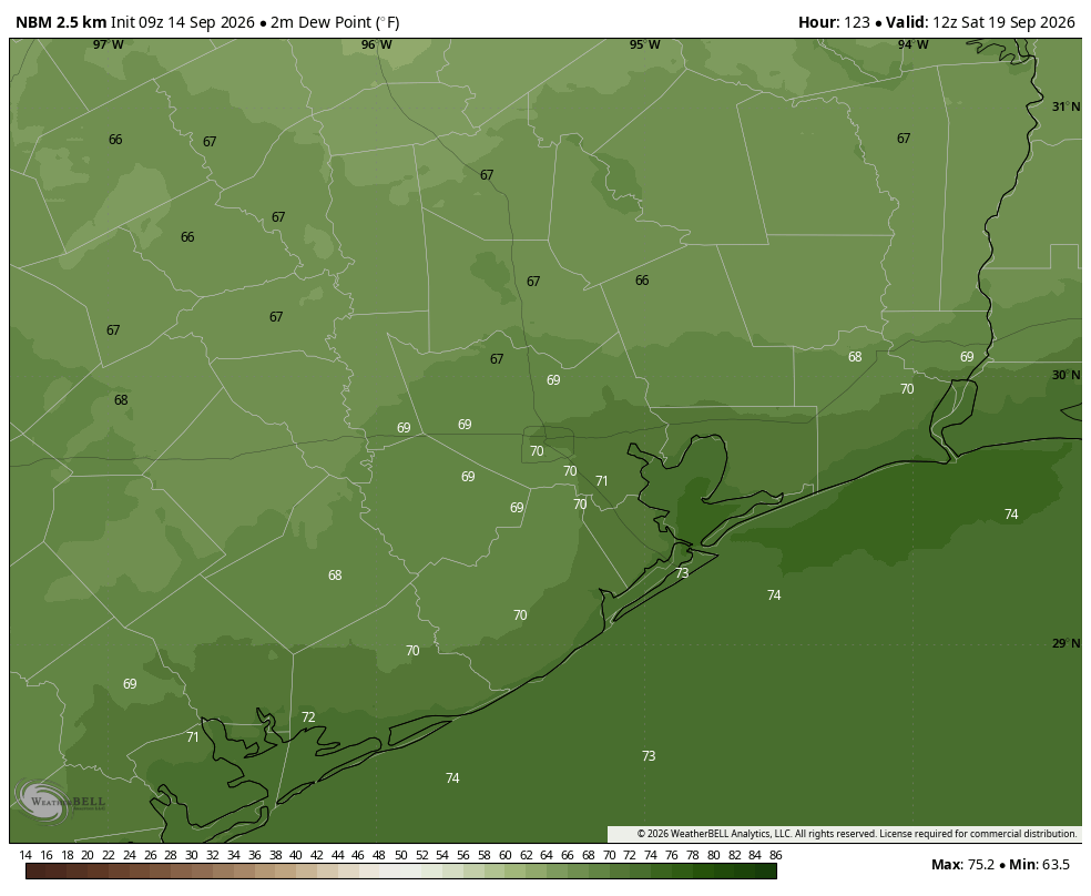
We’ve been on cold-front watch for awhile, and we’re getting closer to that time in September when a front becomes more probable. I had held some hope that we might get a decent front around this coming weekend, and we are likely to see a modest pattern change. But unfortunately it won’t feel particularly fall like. We are likely to see some northeasterly winds on Friday and/or Saturday, and this should knock a little bit out of the humidity. But the effect is going to be really modest, likely only noticeable during the mornings and evenings. Highs are still likely to reach the lower 90s this weekend, with lows in the mid- to upper 70s. Rain chances this weekend are low, probably below 20 percent on each day.
Next week
Overall next week should bring more mostly sunny, late summer-like weather. Look for highs in the vicinity of 90 degrees, with lows in the upper 70s. After a likely rain-free weekend, we may see some daily shower chances return. I wouldn’t rule out some kind of front later next week, but I have very low confidence.
The Atlantic tropics
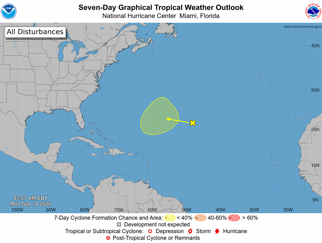
Something vaguely tropical may form out to sea in the open Atlantic this week, but it’s nothing we’re going to have to concern ourselves with in Texas (or the United States). Our remarkably quiet Atlantic season continues.
