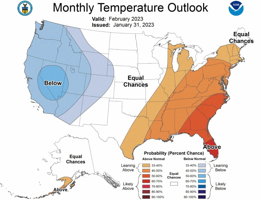
A warm December weekend for Houston, with the return of cooler air aiming for the middle of next week

We managed our 4th straight 80 degree day yesterday in Houston, a feat last achieved in December of 2021. So, yay. I suppose. Congrats to those of you who like warm weather year-round. It’s your moment right now. Enjoy it because changes are coming next week, and we almost certainly have an end in sight to this warm pattern.

Today

We expect a mostly similar day today to how recent days have been: Clouds, sun, fog in spots, especially near the coast, and highs around 80 or so. If Houston hits 80° again today, it will be only the fourth time we have had five consecutive 80 degree days in December, all of them coming since 1998.

Another day around 80 degrees seems likely today. (Pivotal Weather)

But today will also feature at least a chance of a few passing showers this afternoon. Most folks won’t see much of anything, but a few isolated pockets of rain are likely around the area.

Saturday & Sunday

We’ll have another warm night, with lows in the 60s and areas of fog, especially close to the coast. So Saturday may start a bit dreary, then perk up some. Highs will be in the 70s to near 80. Shower chances will once again arrive by late afternoon. Those chances will actually continue well into the evening or overnight hours. Lingering showers will be around on Sunday morning before things should subside a bit later in the day.

Ignore specifics, but tomorrow evening’s radar could look something like this: A few showers or downpours around, with locally heavy rain, while most people see nothing at all. (Pivotal Weather)

Again, not everyone will see rain, but some will see a fair bit of it Saturday evening through Sunday morning. Some isolated stronger thunderstorms are also possible. We’ll do lows in the 60s again Saturday night into Sunday morning, followed up by highs in the 70s on Sunday. It’s possible that on Sunday folks northwest of Houston see temperatures drop into the 60s for a time as the cold front will make one failed attempt at pushing through. For Houston and points south and east, the front making it through on Sunday is unlikely at this time.

Monday & Tuesday

We will start next week on a mostly calm note, with clouds, sun, fog, and an isolated shower for Monday. We may actually turn a bit warmer, more humid, and noticeably breezy on Monday as well, as a strong storm system begins to organize in the lee of the Rockies. A typical warm pattern setup.

That storm really cranks on Tuesday over the Plains which should drag a cold front through Houston on Tuesday night. Tuesday will be our last real warm day, with morning lows perhaps near 70 and daytime highs again near 80 degrees. Expect at least a few showers or storms with the front on Tuesday evening, but it’s too soon to say how robust that will look just yet.

Beyond Tuesday

At this point we are not expecting any real meaningful weather heading toward late next week. In fact, it looks pretty nice for pre-Christmas weather. We should see a decent amount of sunshine, highs in the 50s to near 60 and lows in the 30s or 40s. We may get a windy day in here Thursday or Friday with a reinforcing shot of colder air.

The National Weather Service’s National Blend of Models gives us decent insight into days 5 through 10, and you can see that we turn sharply cooler but not too cold for the end of next week. (WeatherBell)

Heading toward Christmas week there is a lot of uncertainty within weather modeling. We will probably get some kind of warm up for early on the week of Christmas, followed by a drop in temps later in the week. But details and exact timing and intensity are very uncertain at this time. Suffice to say, it would be wise to keep both spring and winter attire at the ready heading into the week of the 19th.

Houston will remain warm until next Tuesday, and there’s a chance of showers this weekend

Good morning. Houston will remain in an anomalously warm pattern through the weekend before a cold front arrives sometime next Tuesday to usher in much colder and drier air. That does not mean the forecast is without intrigue. In particular, we may see some fairly healthy rain chances on Saturday night and Sunday morning, as well as on Tuesday with the cold front.

Thursday

Today is the final day until next Wednesday that there is unlikely to be rain for at least part of the Houston metro area. It’s also the last day—of the week, and of the year—that temperatures in the mid-80s will be possible for inland area of the region. We’ll see partly sunny skies and light southerly winds. As dewpoints remain elevated, it will be humid today as it has been for the entire week. Lows tonight will drop into the upper 60s in the metro area, and possibly a bit lower for inland areas. Fog will again be possible overnight.

Low temperatures on Friday morning will be about 20 degrees above normal for the Houston metro area. Please clap. (Weather Bell)

Friday

We’ll start to see a rise in atmospheric moisture levels on Friday, and this will help produce about a 20 or 30 percent chance of light rain. Otherwise expect partly cloudy skies, with highs of around 80 degrees.

Saturday

This should be a partly to mostly cloudy day, with high temperatures in the upper 70s to 80 degrees. The forecast models are suggesting that a moderate disturbance could produce a healthy chance of showers on Saturday evening, overnight, and into Sunday morning. Right now I’d bet that much of the area will see, on average, one-quarter of an inch. But there is the potential for as much as 1 inch of rain as moisture levels spike.

One of the reasons we think there will be a healthy chance of rain on Saturday evening and overnight is that atmospheric moisture levels will be about twice as high as normal. (Weather Bell)

Sunday

Skies should clear out a bit later on Sunday, with ebbing rain chances. Look for highs in the upper 70s with light southerly winds. This is probably the better of the two weekend days for outdoor activities.

Next week

Monday and Tuesday should see a continued trend of warm, humid weather. However, at some point on Tuesday a front and, in all likelihood, a line of storms, will herald the arrival of much more seasonal weather. My best guess for the front’s arrival is Tuesday evening, but it’s far enough out for the timing to yet be fuzzy. Look for lows to drop into the 40s after the front’s arrival, and possibly the 30s toward the end of the week, at least for areas on the inland side of Interstate 45. This colder pattern has a chance to hold on for quite a while, perhaps all the way to the Christmas holiday. But that is not a firm prediction nor even a firmly held conviction at this point.

Houston just experienced one of its hottest December days, ever. Today could be warmer

Tuesday’s high temperature at Hobby Airport reached 85 degrees, breaking the record high at the airport of 81 degrees set in 1999. The mark also tied for the second hottest day on any day December, based on records that go back more than eight decades. Prior to last year, 85 degrees would have tied for the hottest day of all time in December at the airport. However that record was pushed upward in 2021, when the mercury reached 87 degrees on December 9.

We are far from alarmist on this site, but such extreme heat for December is consistent with the background warming of climate change. During the first six days of this month, the average temperature at Hobby Airport is 9 degrees above normal. And more heat is on the way over the next week.

High temperature forecast for Wednesday in Houston. (Weather Bell)

Wednesday

We’re seeing patches of fog near the coast this morning, which is to be expected as dewpoints match air temperatures. After the fog lifts we’ll be left with partly to mostly sunny skies this afternoon, and another hot December day. With high pressure in place we can probably expect highs to push up into the low- to mid-80s again today. Along with Tuesday, this will probably be the warmest day of the week, although we’re going to have to wait until next week for some significant relief. There will also be a slight chance of very light rain this afternoon. Winds will be out of the south at 5 to 10 mph. Lows tonight may briefly drop below 70 degrees.

Thursday

Fog, again, will be a possibility. Otherwise expect highs in the low 80s with mostly sunny skies. There will be humidity and mosquitoes aplenty.

Friday

This will be another warm day, with highs likely in the low 80s and partly sunny skies. Areas south of Intestate 10 will see perhaps a 20 or 30 percent chance of light, misty rain. Accumulations will be nothing to write home about, however.

Saturday and Sunday

Conditions this weekend will continue to be warm and humid, although high temperatures may back off slightly into the upper 70s with partly sunny skies. A weak front will try to push southward on Saturday night, but at this point I don’t think it will get too far down into the metro area. This may produce a chance of light showers, more like a mist, later on Saturday or overnight. Lows should drop into the mid-60s.

Change is about a week away. (Weather Bell)

Next week

Monday will be sticky again, but change should finally come on Tuesday or Tuesday night with the arrival of a more significant front that pushes off the coast. There may well be a line of showers and storms with this front, given the upper level pattern. By the second half of next week we should see highs perhaps only in the 50s, with lows in the 30s and 40s. Details are yet to come, but we will certainly see a return of winter-like weather by that time. If I may borrow a phrase from Monty Python, it would be, “And there was much rejoicing.”

Very warm conditions will persist for Houston through the weekend

There is not a whole lot to say about our weather for the upcoming week in <checks notes> early December. High temperatures will be around 80 degrees for much of this week and weekend. More winter-like weather is coming with a definitive pattern shift, but that probably is a week away. So until then we’ll be singing Frosty the Air Conditioner Man rather than Frosty the Snowman.

Tuesday

The overall pattern today is the one we’re going to see for awhile, which is to say high pressure offshore and lower pressures over the central United States. This will drive an onshore flow that will keep our conditions warm and fairly humid, especially for December. Highs today will reach about 80 degrees or just above in the city of Houston, with warmer conditions possible inland, especially to the west in places like Katy. Look for partly sunny skies and light southerly winds. There is about a 10 percent chance of rain. Lows tonight will drop into the upper 60s.

This week, my friends, will not feel like December. (Weather Bell)

Wednesday

If anything, temperatures on Wednesday may be a degree or two warmer than Tuesday, with a mix of sunshine and clouds. Rain chances are perhaps 20 percent, but anything that falls will be light and probably briefly lived. Expect another warm night.

Thursday and Friday

Welp, I had hoped for some slight relief toward the end of the week as a front pushed into Houston, but it now appears that this weak front will wash out before pushing too far into the metro area. As a result, we can probably expect a pair of warm days with highs near 80 degrees, partly to mostly sunny skies, and perhaps a 20 percent chance of rain. Areas well inland may see some slightly cooler and drier air from the front.

Saturday and Sunday

The weekend should see continued warm weather, with highs likely in the upper 70s, and partly to mostly sunny skies. Rain chances may be slightly higher, in the vicinity of 30 percent, as another front washes out over the area. This front may bring some moderately drier air to Houston, especially away from the coast. But it’s still not going to feel anything at all like December outside.

Seasonal modeling indicates a significant pattern change for the second half of December. This is a temperature anomaly forecast for Dec. 14 through Dec. 24. (Weather Bell)

Next week

We’re likely going to have to wait until Monday night or Tuesday for the next real front to barrel into Houston. However, when it does come, there is pretty good agreement in the global models that this front will mark the start of a pattern change for much of the United States, including Texas. The second half of December does look winter-like for our region, although it’s too early to have any confidence in details for Christmas Day.