Good morning. After about 10 days of much colder weather, Houston will soon return to warmer conditions to end the year 2022. Today, in fact, will be the last chilly day of the year, after which highs in the 70s will persist into early 2023. We also will have two periods of rainfall during the coming week, but I think we’ll manage to squeeze out some fair conditions for the New Year’s holiday in between.
Tuesday
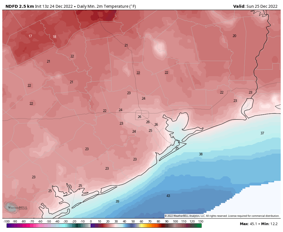
Lows have fallen to freezing, or near freezing, along and north of Interstate 10 this morning, but areas closer to the coast are generally in the upper 30s to around 40 degrees. Skies will be sunny today, with highs in the mid-50s. The most important change will come later today, as high pressure slides eastward, and our winds take a more southerly turn. This will mark a definitive end to the Great Christmas Cooldown of 2022. Lows tonight will drop into the low 40s in Houston.
Wednesday
Skies will be mostly sunny on Wednesday, with highs in the low 70s. Winds will be notable, out of the south at 10 to 15 mph, with gusts up to 25 mph. By Wednesday night we’ll see low temperatures falling just into the 60s, with a slight possibility of some fog.
Thursday and Friday
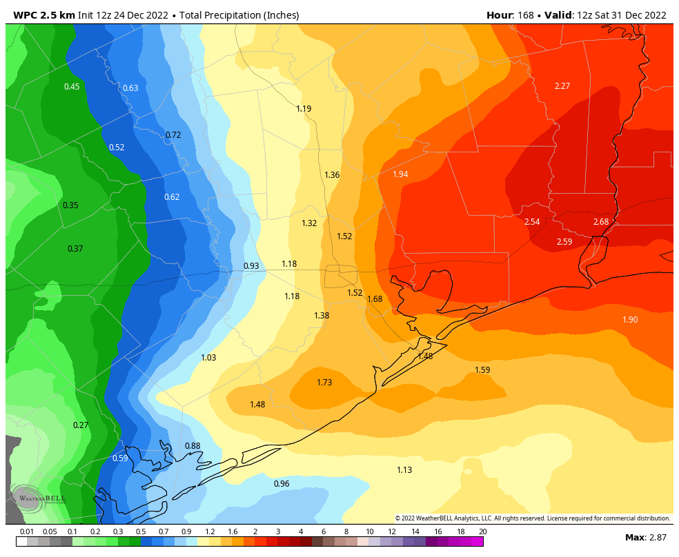
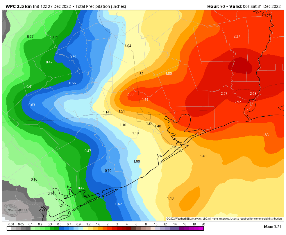
The end of this week looks wet, as increasing moisture levels from the southerly flow combine with an atmospheric disturbance to produce a healthy chance of rain. These should be mostly cloudy days, with highs in the low 70s. Rain chances look best on Thursday and Thursday night, but a chance will persist through the day on Friday. Overall accumulations look greater for the eastern half of Houston, but I expect much of the region to see at least 1 inch of rain, with some areas seeing 2 or more inches.
Saturday and Sunday
Fortunately, it looks like a weak front will clear things out for the holiday weekend. Right now I’m penciling in highs in the low to-mid-70s on New Year’s Eve, with partly to mostly sunny skies, and lows dropping into the upper 50s to 60 degrees by around midnight. Rain chances are pretty low, which is good news for revelers. Skies on New Year’s Day will likely be partly sunny, with highs in the mid-70s. All in all, the turn into 2023 looks fairly mild.
Next week
The weak front won’t last long, and at some point I expect clouds to return on New Year’s Day. This return of moisture will set the stage for another wet period—most likely on Monday January 2, but some uncertainty remains. This could easily bring another 1 to 3 inches of rain to the region before a front brings some moderately cooler and drier air into the region.