Good morning. Houston’s weather will be cold and gray, with occasional light rain, for the next two days before sunshine returns on Sunday. By Monday we’ll begin a slow warming trend that will see our temperatures rebound toward more spring like-weather for awhile.
Friday
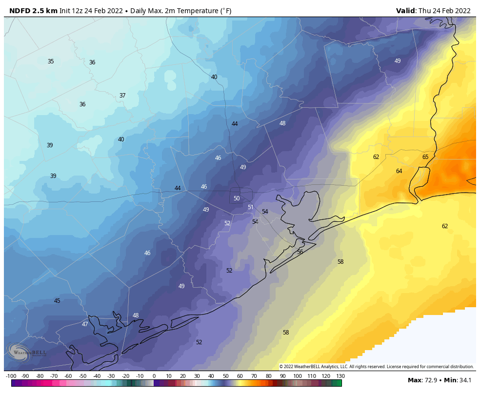
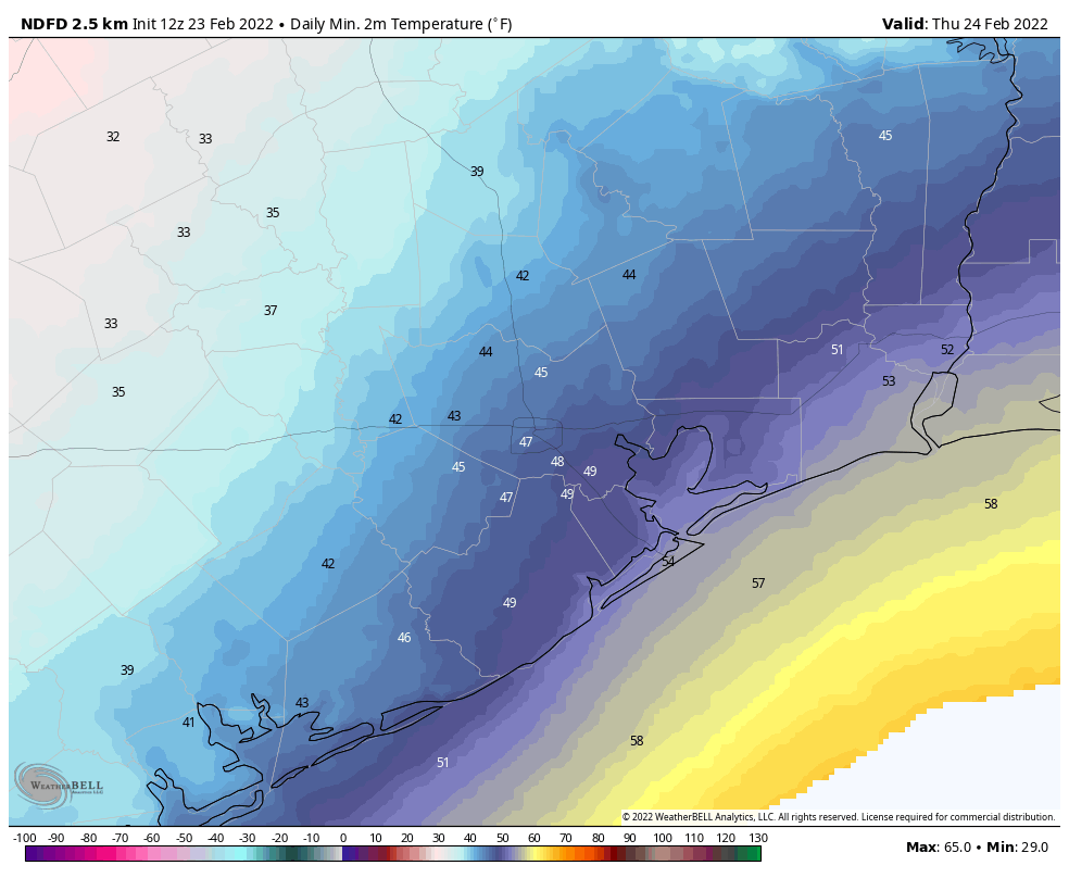
The weather for today, however, is just going to be rather grim. We’ll see some light showers moving from south to north this morning, and when its not raining skies will be gray. As a result, high temperatures today will only warm a few degrees above this morning’s lows, probably into the mid-40s for most. On top of this, winds will blow out of the north, gusting as high as 20 mph. Simply put, this isn’t going to be a day for outdoor activities. While rain chances slacken this afternoon and overnight, clouds will remain, with low temperatures perhaps falling to around 40 degrees.
Saturday
The first half of the weekend will bring more of the same, with gray skies and a decent chance of light rain or misty precipitation moving in from the southwest throughout the day and overnight. Highs may reach about 50 degrees on Saturday, but skies will remain gray, with northeasterly winds. Lows Saturday night should drop into the low 40s.
Sunday
As high pressure starts to assert its influence over the region we’ll finally begin to see some breaks in the clouds, but this may not come until the afternoon hours. While the prospect of sunshine should allow highs to nudge up into the upper 50s, there will still be a northerly breeze at 10 to 15 mph that will keep things on the cool side. As skies clear, temperatures will drop on Sunday night, and possibly reach the mid- to upper-30s on Monday morning. A light freeze is not out of the question for some inland areas.
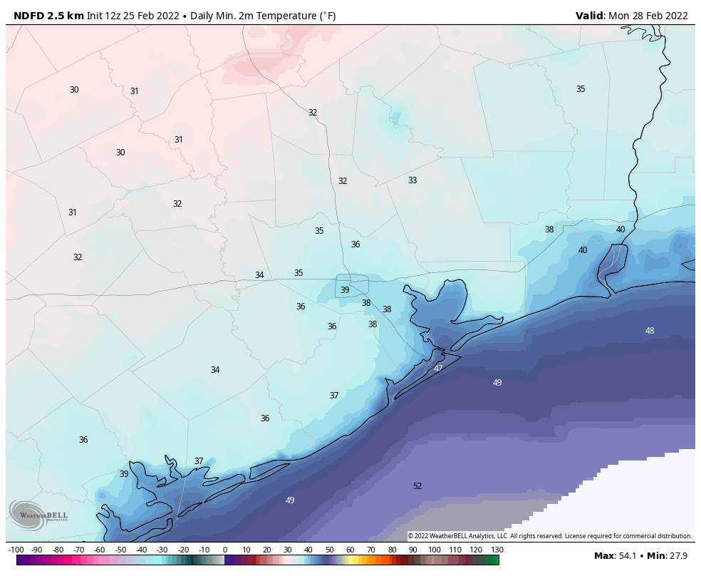
Next week
Highs will start out in the 60s on Monday next week, and probably end up around 80 degrees by the weekend. Similarly, Monday and Tuesday mornings will be quite chilly before lows reach around 60 degrees next weekend. Days will see a mix of sunshine and clouds, but for now there looks to be little if any rainfall through at least Thursday or Friday. Bottom line: It will be a nice contrast to this week’s gray and cold, and a promise of warmer things to come this spring.