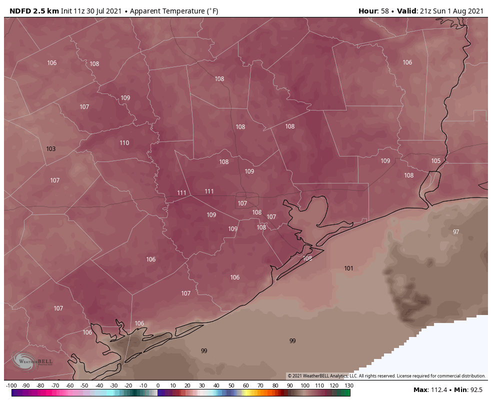
Sunday was August 1, which means that a third of the Atlantic hurricane season is now in the books. While that’s a good thing, the reality is that the vast majority of hurricane activity, historically, occurs after August 1st. And for the state of Texas, the odds of a hurricane strike after October 1st are remote. So for us, the next two months really matter. This is when you should have your hurricane plans finalized, and preparations made.
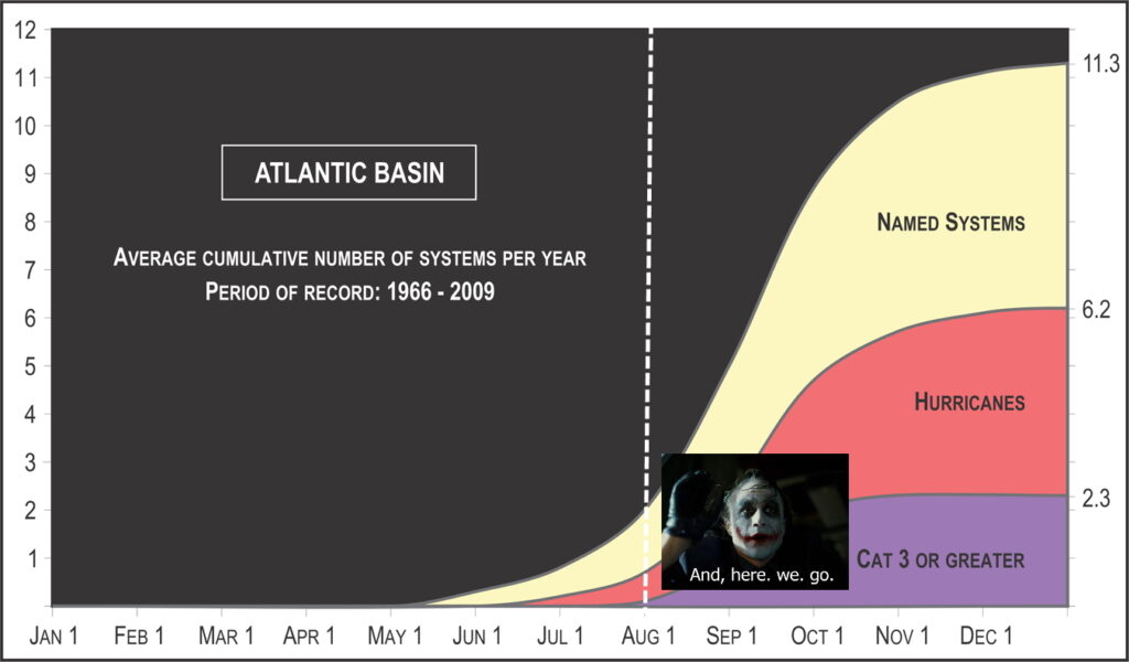
In terms of a near-term tropical forecast, Matt will have more in our weekly update on Tuesday. However, we’re definitely seeing signs that activity in the “main development region” between Africa and the Caribbean Sea will start to heat up in a week or so. And after that point we’ll likely be closely watching tropical activity for awhile.
Monday
Remarkably, the main discussion point for today, the second day of August, will be a cool front approaching the area. This “front” won’t bring too much cool or dry air, but it will generate enough of a disturbance in the atmosphere to provoke rising air and a good possibility of showers and thunderstorms. Most of the area should see partly sunny skies this morning, with increasing clouds late this morning to go along with rising rain chances.
I think we’ll see a round of showers that will hit about half of the region this afternoon, perhaps a break this evening, and then another round of storms overnight that will probably hit a majority of the Houston area. Accumulations for most will be on the order of 0.5 to 1.0 inch, but some few areas may pick up 3 or more inches. We’re not expecting anything more than low-lying street flooding, at worst. For the most part we should see highs in the low 90s.
Tuesday
As the front gets hung up along the coast on Tuesday, we should see scattered showers again although probably not with the intensity some areas see Monday and Monday night. Otherwise we expect partly sunny skies with highs in the low 90s. As far as cooling goes, overnight lows should drop into the mid-70s for much of the region, which isn’t terrible for August.
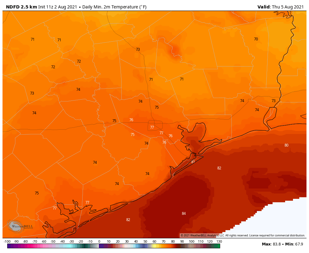
Wednesday and Thursday
The weather these days will depend on whether the front shoves all the way offshore, but if it does I expect a pair of reasonably pleasant August days, with highs in the low 90s, slightly lower humidity, and scattered to isolated rain chances. Lows will be in the 70s.
Friday, Saturday, and Sunday
The end of the week looks to bring mostly sunny weather to the region, with increasing humidity. Highs will likely be in the neighborhood of the mid-90s. At this point it looks like the atmosphere will be supportive of some scattered showers and thunderstorms during the afternoon hours with daytime heating. For the most part, however, this should be a pretty classic August weekend in Houston with heat and humidity.