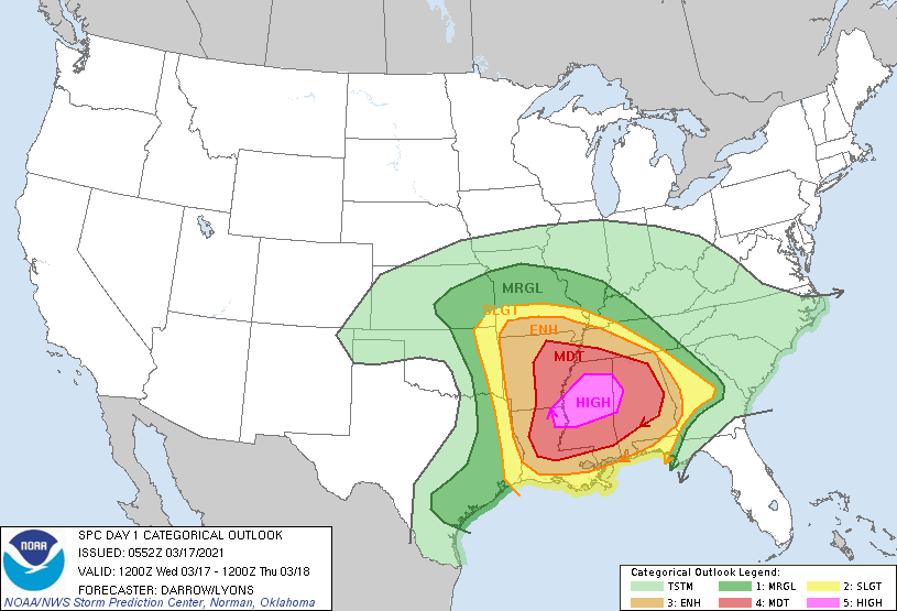
Temperatures this morning, dropping below 50 degrees for many inland areas, are the coldest they’ve been in 10 days after much drier and cooler air blew in over night. The region will now see four or five days of splendid spring-like weather before rain chances begin to creep up next Monday or Tuesday.
Thursday
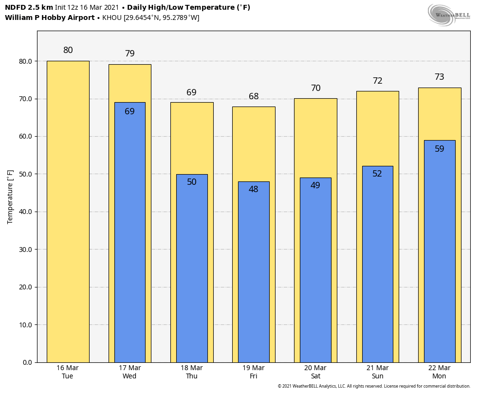
After northerly winds near the coast gusted up to about 40 mph on Thursday night, they’ve died down a bit this morning. However we’ll have to wait until this afternoon or even the evening to see gusts drop below 20 mph. Conditions otherwise will be sunny today, with highs in the upper 60s. Overnight lows will drop into the upper 40s for everywhere but coastal areas. This should be the coldest night of the week.

Friday
Conditions may remain a bit breezy on Friday, as our northerly flow continues. Temperatures will be about the same as Thursday, with highs in the upper 60s under sunny skies. Overnight lows will probably be a degree or two warmer than Thursday night for most locations.
Saturday
This is about as nice a day as you could draw up for March in Houston. We’ll again see sunny skies, and highs should reach about 70 degrees with ample dry air. Winds will be very light, if not calm. Make your outdoor plans now!
Sunday
We may start to see a touch of humidity by Sunday, but conditions should still be very pleasant, with highs in the low 70s, and partly to mostly sunny skies. Overnight temperatures will be warmer, with some areas possibly not falling below 60 degrees on Monday morning.

Next week
Clouds will increase by Monday, and rain chances will likely be on the way up by Tuesday as the atmosphere becomes a little bit more perturbed. Thus we may see highs around 80 degrees and decent storm chances from Tuesday through about Thursday, after which time the next front may push into Houston. The details of all this remain hazy, however.