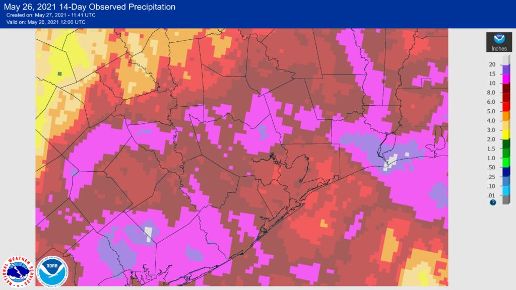
Good morning. It’s June 1, which for us marks the beginning of summer and the official start of the Atlantic hurricane season. The next four months are the hottest of the year—with temperatures peaking in August. However this year we’ve had a slower build into summer, with average temperatures about 1 degree cooler than normal in May. This was due, in large measure, to most of the area seeing rain most days during the second half of the month.
This cooler-but-wetter trend looks to continue into at least the first week of June. Overall, our forecast for the week ahead, including next weekend, look quite wet. The combination of a moist atmosphere, feeding off the Gulf of Mexico, and a series of slow-moving atmospheric disturbances will drive rain chances upward through the weekend, at least.
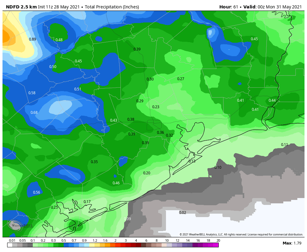
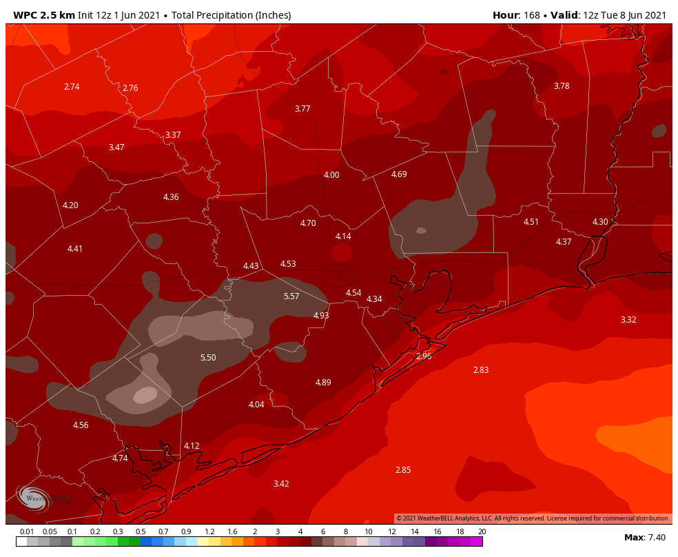
On average, much of the region will probably receive on the order of 4 to 6 inches of rainfall, with some areas receiving more. Over an entire week, this is manageable of course. What we’re more concerned about are areas receiving that much rain in a couple of hours, and causing flooding problems on roadways. Because of this potential for flooding, and our already sodden soils, we’re issuing a Stage 1 flood alert on our flood scale for the entire Houston region, and this is likely to remain in effect through at least Sunday.

Tuesday
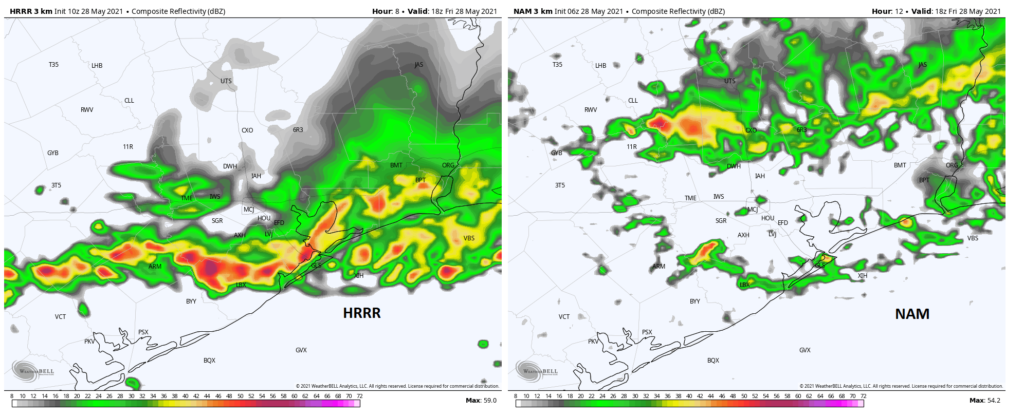
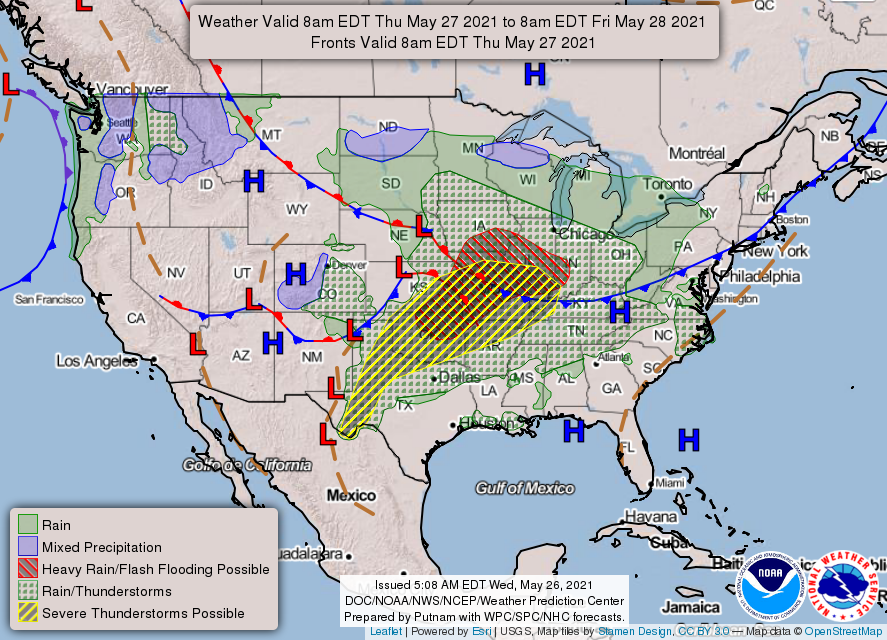
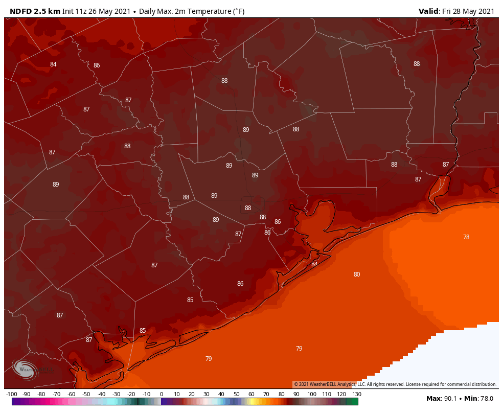
The first opportunity for rain comes today, as a band of storms moves from west to east across the region. These storms produced very intense rains overnight in areas far west and north of the Houston metro area, but appear to be weakening as they approach our region and move through today. While most areas will get less, a few parts of Houston may see 1 to 3 inches of rain today. Highs will top out in the low- to mid-80s with the persistent cloud cover.
Wednesday
This will be another day of fairly widespread showers, with half or more of the region seeing at least some rainfall amidst clusters of showers and thunderstorms. Highs will again be moderated by clouds, topping out in the mid-80s. These two days will probably be something like appetizers for the main event later this week.
Thursday, Friday, Saturday and Sunday
The pattern will become even more favorable for heavy rainfall by around Thursday, when a slow-moving upper-level disturbance begins to directly impact our weather. With these slow moving systems we are concerned about the potential for training storms and flooding. While it’s difficult to say much about each of these individual days, there will be the potential for heavy rainfall each day, along with mostly cloudy skies. This will help to moderate temperatures of course, and we expect to remain in the low- to mid-80s through the weekend. If you have outdoor activities planned for the period ahead, please know that you should definitely have a backup plan.
Next week
When will Houston emerge from this wet mess? We don’t have a confident answer for you, but for now I think the pattern will begin to moderate about one week from today. Until that time you should keep an umbrella handy, keep an eye on the radar, and be weather aware. We’ll be here.