Good morning. We’re expecting cold conditions between now and Christmas morning, after which there will be a warming trend, and calm weather through the weekend. Because of this, Matt and I will be taking a three-day weekend to spend time with our families. Please let us wish you and your families the very warmest greetings in this year of years, and a hope for better tidings in coming times.
Christmas Eve
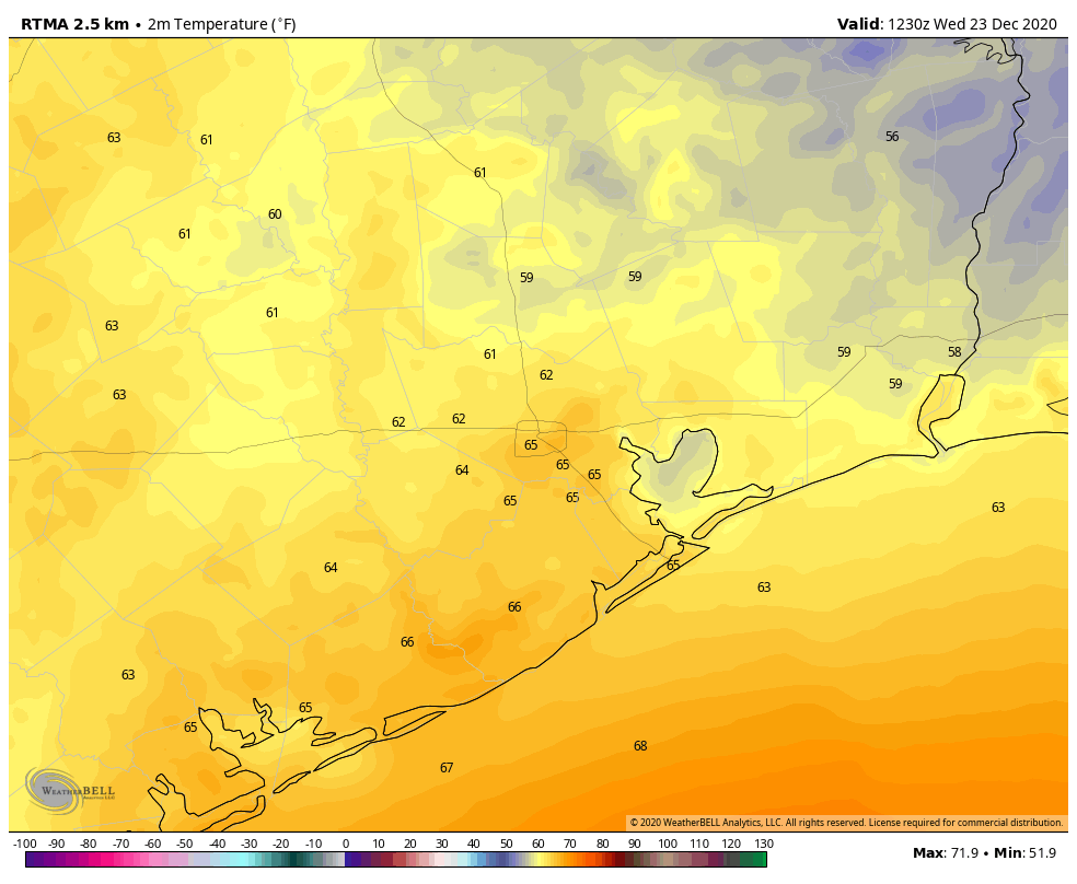
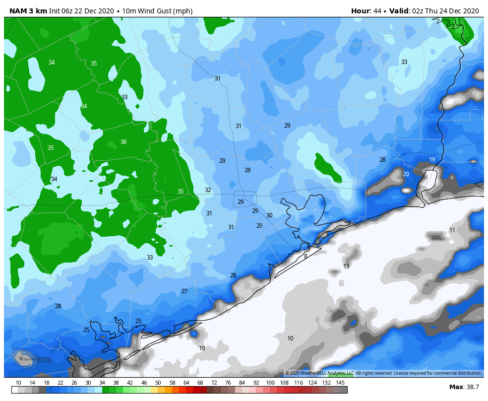
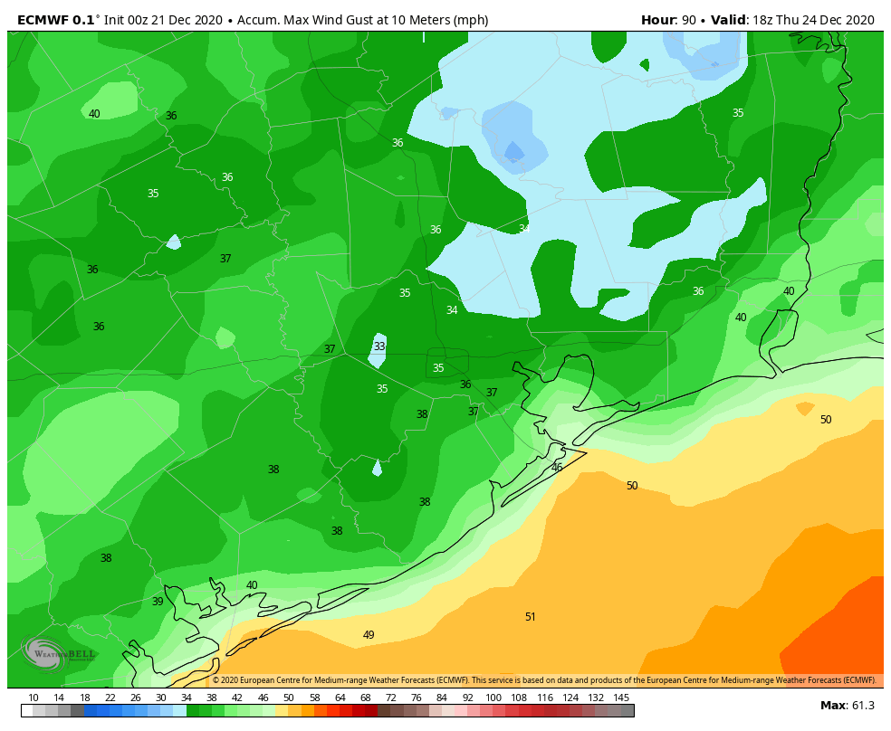
As promised, it is cold and blustery this morning. At 7 am, winds were still gusting to 38 mph at Hobby Airport, and above 40 mph at several locations along the coast. To go along with that, temperatures are generally only about 40 degrees, making for wind chills in the 20s.
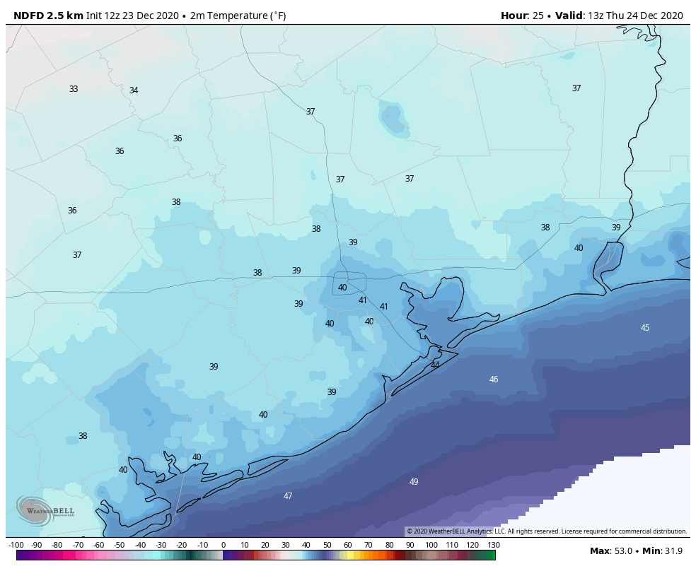
Skies are already clearing, but due to this influx of cold, dry air highs today will struggle to climb much above 50 degrees. Winds, fortunately, should slacken throughout the day, although they’ll remain gusty until sunset. As the Sun drops toward the horizon, temperatures will follow, with parts of the area seeing a light freeze tonight.
Christmas Day
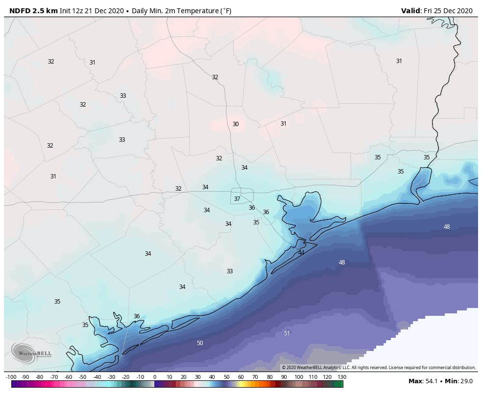
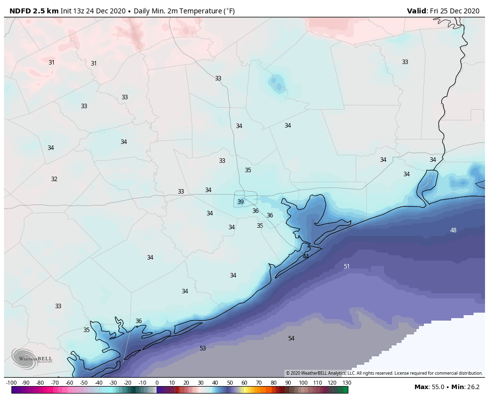
We’ll see a splendid, sunny, winter day for Christmas. Winds will be light, out of the west, and highs should reach about 60 degrees, or slightly above. Lows will be 5 to 10 degrees warmer on Christmas night, as winds shift to come from the south.
Saturday and Sunday
The weekend should see partly to mostly sunny skies, with highs in the upper 60s on Saturday, and lower 70s on Sunday. Some very light rain will be possible later on Sunday, but I expect Houston will remain dry. By Sunday night, temperatures may not drop below 60 degrees for some coastal areas.
Next week
A cold front will approach the greater Houston region on Sunday, but most model guidance now indicates it will stall out near College Station and Huntsville, rather than pushing into Houston itself. Due to the stalling front then, the most likely conditions for the first half of next week are partly to mostly cloudy skies, the potential for light, scattered showers, and highs somewhere in the 70s.
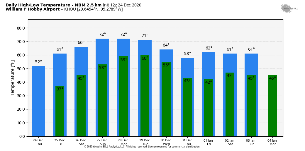
A second front likely will probably push all the way into Houston sometime on Tuesday night. There are some indications, especially after a few days of onshore flow, that this front will produce an inch or two of rainfall during the middle of next week—but our overall confidence is not high. In any case, we’re probably looking at clearing skies and colder weather for New Year’s Eve and New Year’s Day.
We’ll see you on Monday, everyone. Be safe, be of good cheer, and be good to your fellow humans.