We are headed for a relatively quiet weekend in southeast Texas, after a lot of active, changeable weather lately. With the exception of a minor hiccup tomorrow, we are in for quite a stretch of weather. More in a second.
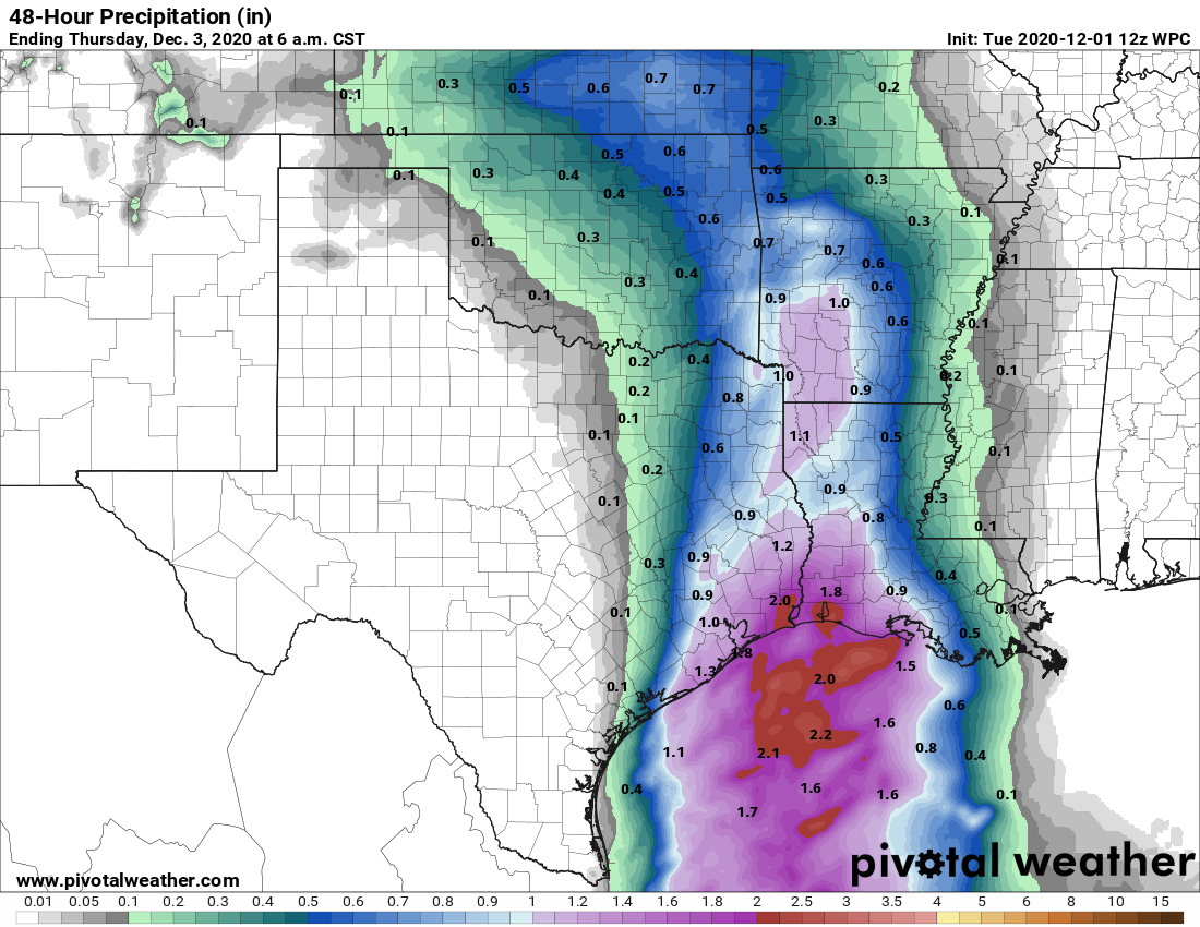
Yesterday, Eric touched on the recent rains being of benefit to our area, and the latest drought monitor update certainly highlights this. The Houston region saw drought coverage drop from near 90 percent a week ago to only 41 percent this week.
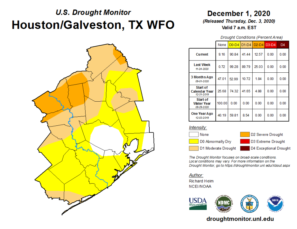
And in reality, it’s actually even lower than that, as the rains from Wednesday were not included in this update. So look for drought conditions to minimize even a bit more next week. We can stop discussing drought for awhile now.
Today
Look for sunshine for much of today. There will likely be some high clouds passing through at times, but it should not be much worse than that. We will see highs in the 50s with a bit less wind than yesterday.
Weekend
A more robust area of high clouds will overspread the area tonight. We’ll call it mainly clear, but by sunrise tomorrow, it could be partly to mostly cloudy. Moisture gradually increases tomorrow, and we will likely see some light rain or passing showers break out, particularly south of I-10. We’ll probably see a good setup for “virga” later tomorrow and tomorrow night as well, rain falling aloft but evaporating before it hits the ground. We’ve got enough moisture aloft, but dry air will still be attempting to win out at the surface. So if you check radar this weekend, it may look worse than what reality is on the ground.
Moisture begins to thin out on Sunday, which means we should see mostly sunny skies develop.
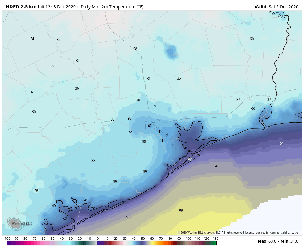
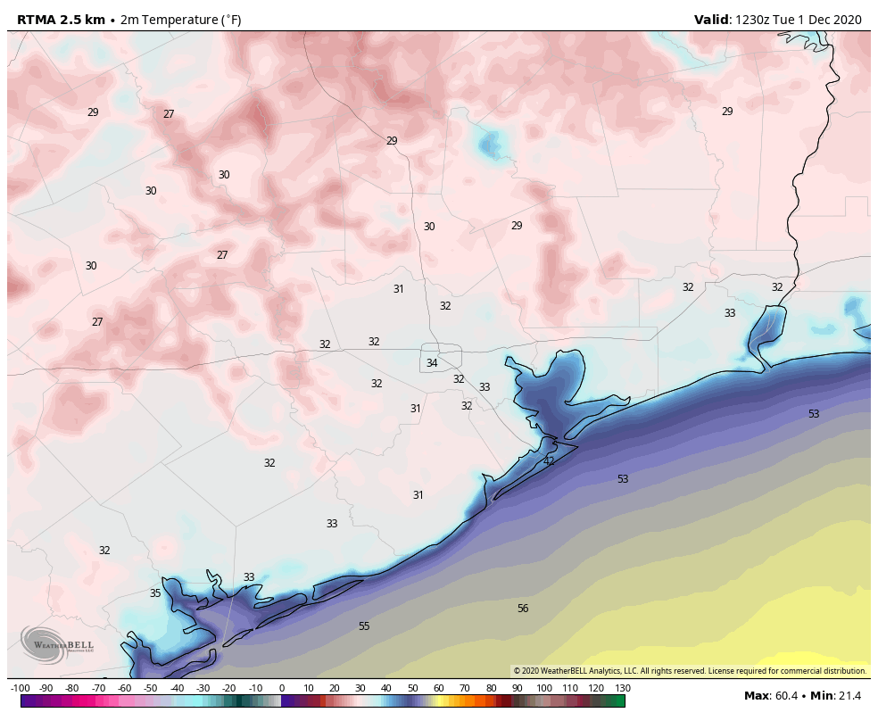
Look for lows in the 40s in the city and at the coast Saturday morning, with 30s in outlying areas. Highs on Saturday will struggle a bit due to cloud cover and may limp into the 50s in spots.
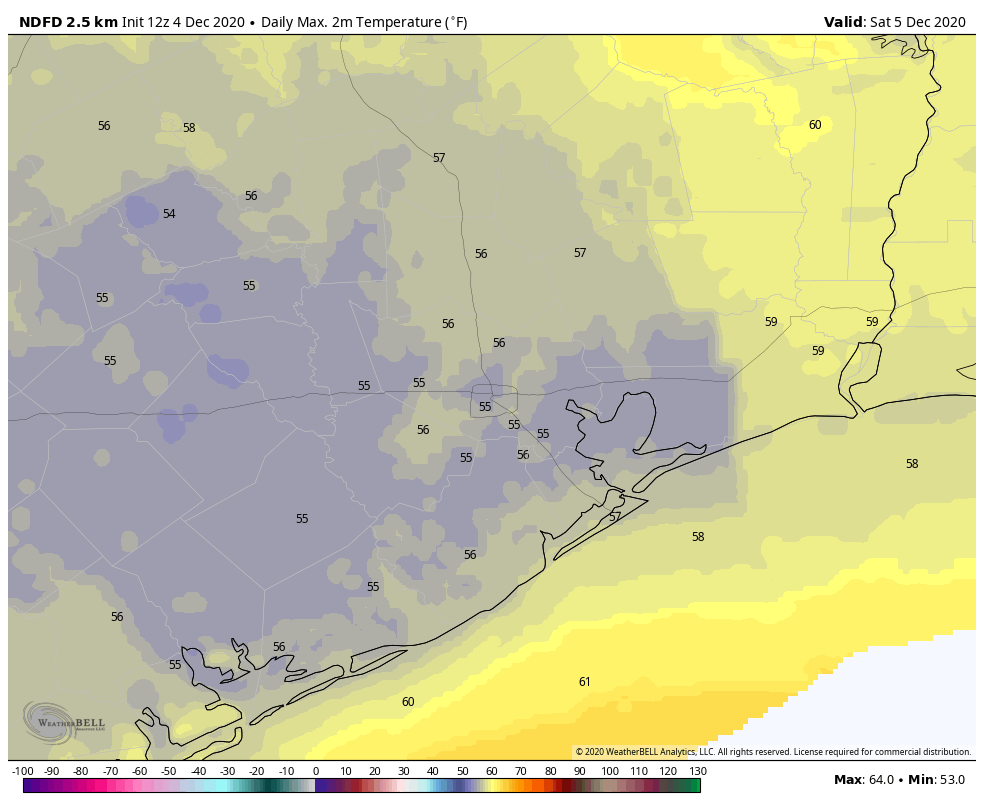
Clouds will keep lows in the 40s in most spots on Sunday morning, followed up by a nice afternoon with highs near 60 degrees.
Early next week: Glorious
Monday and Tuesday look sunny and rather pleasant. Expect highs near 60 degrees on Monday and perhaps a few degrees warmer on Tuesday. Lows should be in the upper-30s or 40s. Wednesday looks good as well right now. There may be a dry front that reinforces cooler, drier air over us Tuesday or early Wednesday, and that would also reinforce sunshine.

To be honest, at this point, Monday through Wednesday of next week will be cool days, but they may be some of the nicest you could ask for in winter in Houston.
Later next week
Onshore flow finally kicks back in on Thursday or Friday, which should allow for clouds and warmer temperatures to come back. We may also see some morning fog. Our next storm system should arrive around this time, bringing a chance of rain probably focused on next weekend. Our next front will probably follow at some point Sunday or Monday. More on that next week. Enjoy the weekend!