Hi everyone—just a quick Labor Day morning update here.
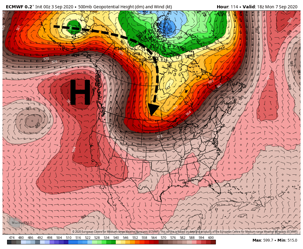
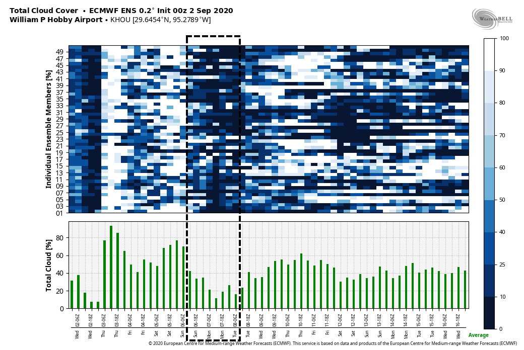
We’ve got some good news and some bad news, and we’ll start with the latter. If you’ll recall last week, we were 50-50 on whether a fairly robust cool front would push through the region. Alas, we’re now pretty confident it won’t make it. Summer, such as it is in Houston, will continue for awhile longer, albeit with highs mostly in the low 90s rather than the mid- or upper 90s.
The good news is that although we’re on the cusp of two more named storms forming in the Atlantic tropics, continuing this hurricane season’s record pace, we see no threats to the Gulf of Mexico over the next several days at least. This week is the historical peak of hurricane season, and for Texas the threat should be ebbing in about three or four weeks.
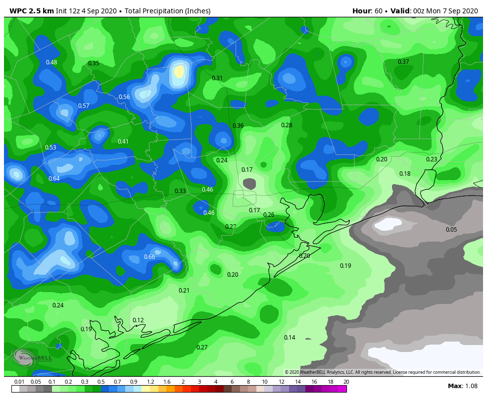
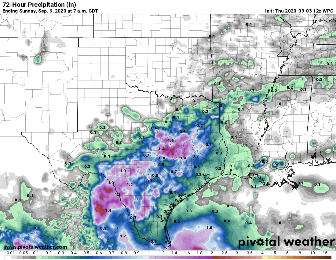
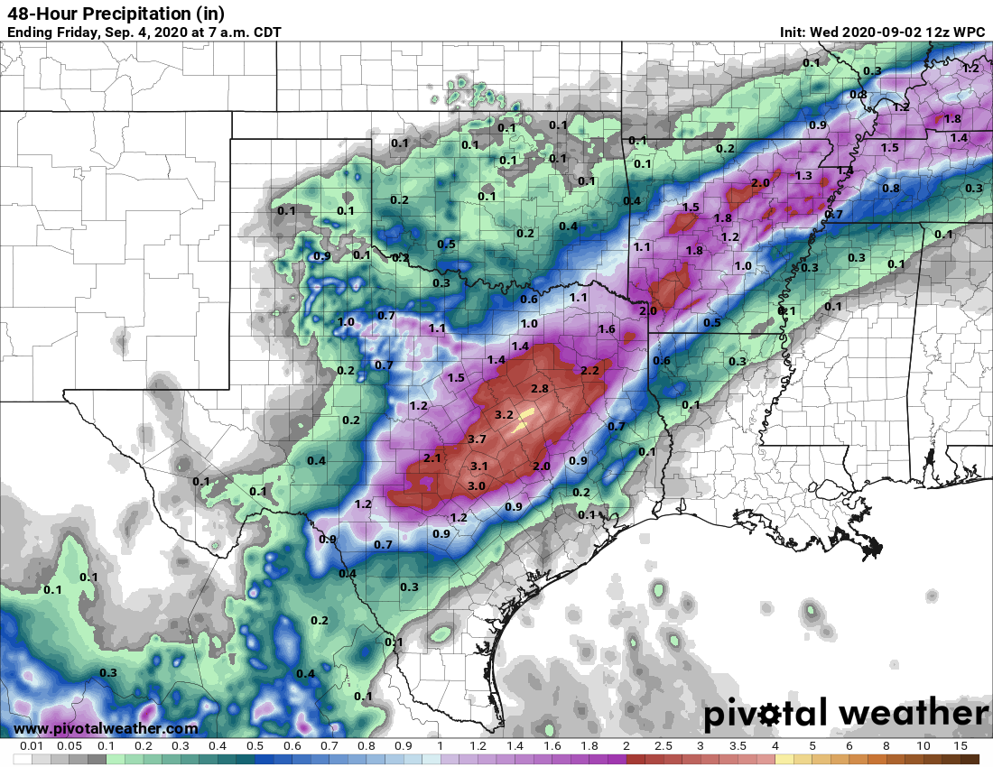
As for our weather this week, Labor Day will see a fair amount of sunshine and highs warming into the mid-90s. With slightly weaker high pressure over the region, some slow-moving showers and thunderstorms could produce 1 or more inches of rainfall today, but things will again be hit or miss. Tuesday should be similar.
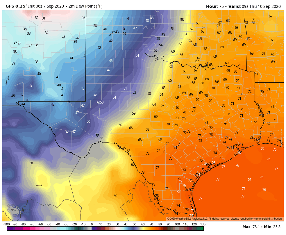
The latter half of the week will be influenced by a cold front dropping into Texas and approaching our region. However, with the front likely stalling out around the Interstate 35 corridor, we only expect very slight effects locally. For now we’ll go with highs in the low 90s, and with lows dropping into the mid-70s, and a smattering of rain chances.
We’ll be back tomorrow with a full update!

