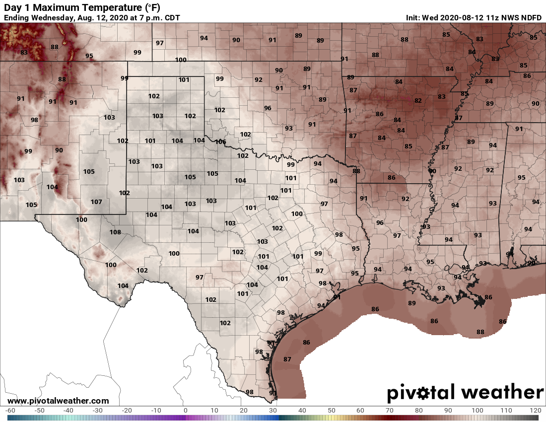
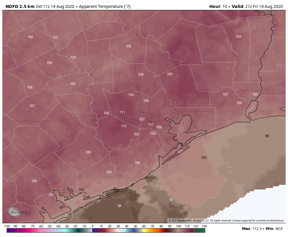
The meteorological phenomenon we call “August” has mostly lived up to its normally unpleasant expectations so far in the Houston area. After hitting 101° on Wednesday, we topped off at 99° yesterday. Overnights have been especially oppressive, with Galveston tying an all-time record warm low temperature on Wednesday and Hobby Airport blowing through its record for most 80 degree mornings in a year already. We will have a post with a lot more on this coming soon. In the meantime, we expect no relief this weekend, but there are signs we should begin to cool off a bit next week. Let’s discuss.
Today through Monday heat
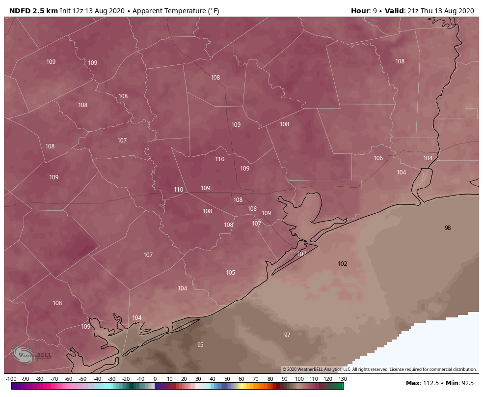
A heat advisory continues for the entire region both today and tomorrow, and we would not be shocked to see it extended into Sunday and/or Monday as well. Expect mostly sunshine with highs near 100, lows in the 70s to near 80°, and heat index values of 105° to 110° or even briefly hotter at times.
Take it slow and easy in the heat this weekend.
Rain chances and a front next week?
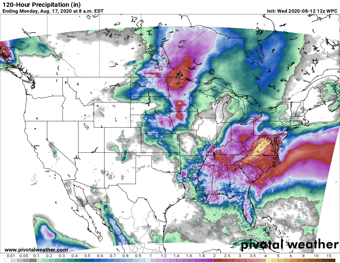
As far as rain chances go, we should not see anything other than an isolated pop-up shower or storm today and tomorrow. If the chance of a shower is about 10 percent Friday and Saturday, maybe it inches up to 15 or 20 percent Sunday.
Monday and Tuesday are complicated by a cold front in the area. Don’t expect anything refreshing next week, but we should see a shift to “less hot” weather and a better chance of scattered showers and storms early. Monday would still be hot with scattered showers and storms in the afternoon. The trade off with a cold front possibly pushing through is that rain chances would drop off again behind the front for later Tuesday and Wednesday. Still, we’ve got a few things to work out regarding the timing of the front and just how high rain chances look. We’ll update you Monday.
Behind any sort of front, we would see high temperatures “only” in the mid-90s and less oppressive heat index values. Lows would be more in the 70s for most.
Tropics
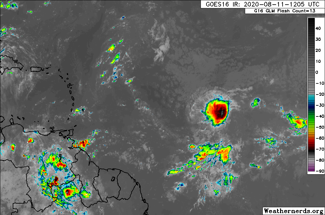
Tropical Storm Josephine formed yesterday in the open Atlantic, the earliest 10th or “J” storm on record by almost 10 days.
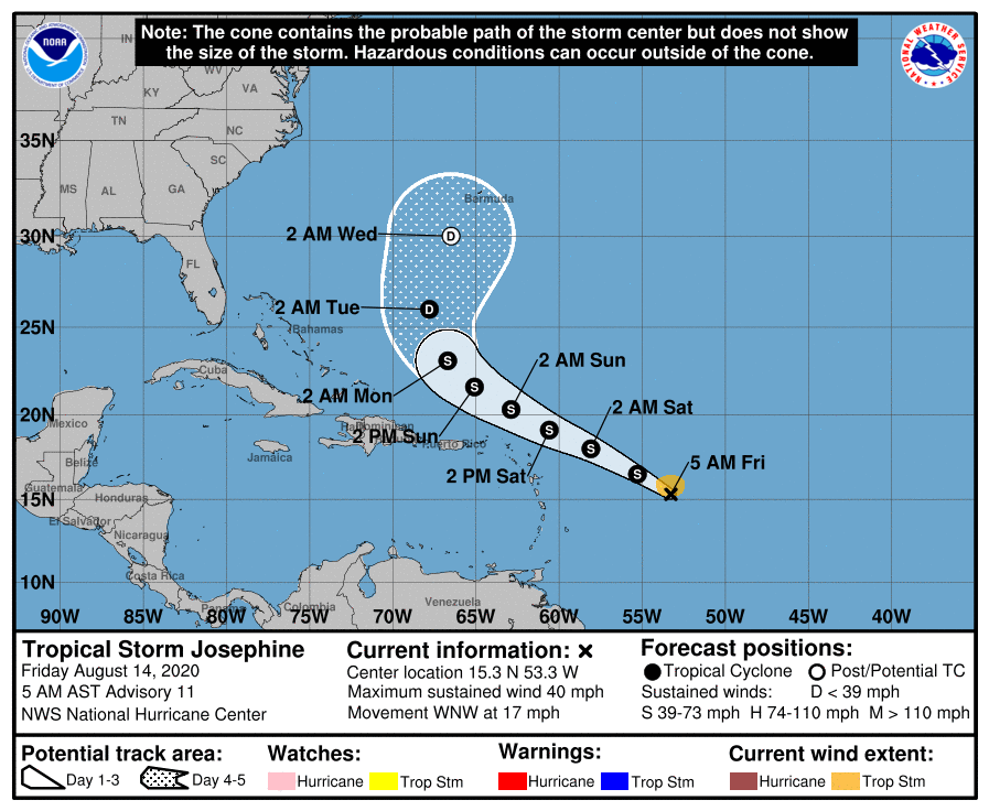
Josephine will likely begin to get steered to the north as it passes the islands and is no threat to the U.S.
The only other disturbance outlined by the National Hurricane Center (Invest 96L) is a disturbance off the North Carolina coast that will slide out to sea over the next few days. We expect another wave or two to emerge next week as candidates for development, but it’s far too early to speculate on any other details. We just know it’s likely going to get and stay active.
For those of you scoring at home, the earliest eleventh, or “K” storm was Katrina on August 24, 2005. The earliest “L” storm was 1995’s Luis on August 29th, part of a barrage of storms in the Caribbean islands that year.