Here’s the state of play for Houston’s weather over the course of the next week: With high pressure moving away, and atmospheric moisture levels rising, the region will be susceptible to showers and thunderstorms beginning this evening through most of next week. In addition there will be some triggers for storms moving into Texas. However, there is a lot of uncertainty as to when, precisely, we’re going to see rain. So while rainfall will be possible every day, it won’t be probable on most days.
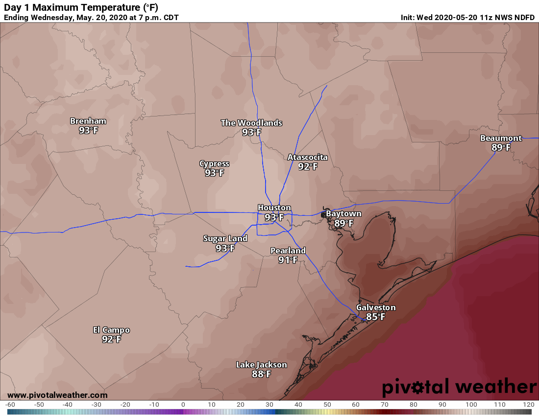
Thursday
We’ll see more clouds today, with winds from the southwest at perhaps 10 to 15 mph. Some breaks in the clouds should allow highs to push up to around 90 degrees this afternoon. An upper-level disturbance will move into Houston later this afternoon and evening. It appears that a capping inversion will hold over the city and coastal regions, but areas to the north and west of the city may see some showers. The chance of this is pretty low, however, probably less than 20 percent. Lows Thursday night will only drop into the mid-70s.
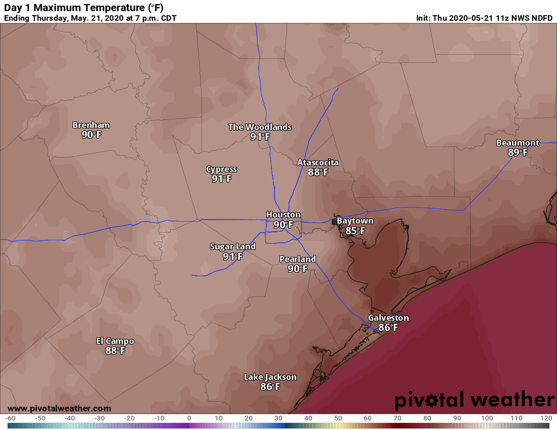
Friday
Friday will see a similar setup albeit with increasing atmospheric moisture levels. Forecast models indicate showers are most likely to develop south of Interstate 10 on Friday, but chances remain fairly low, likely in the 20 to 30 percent range. This should be another partly to mostly cloudy day with highs near 90 degrees.