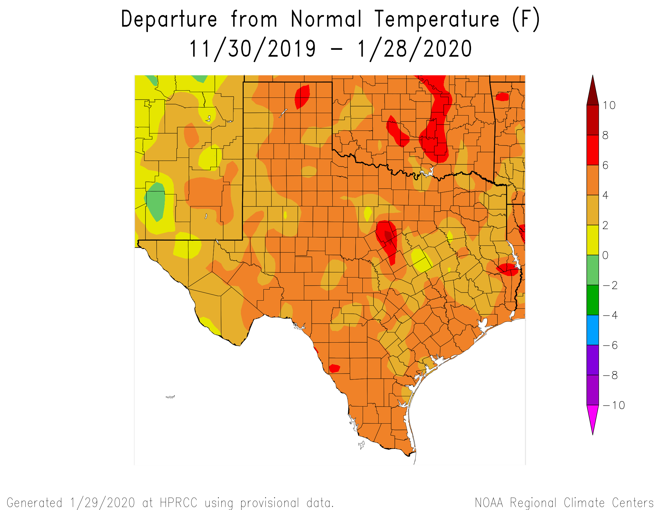
The tale of this Texas winter has yet to be fully told—for the purposes of this site, we’ll define winter as December through February, which is known as meteorological winter. But for the entirety of Texas temperatures have been warmer than normal, with much of the Houston metro area 4 to 6 Fahrenheit degrees above normal. NOAA’s climate outlook calls for about near-normal temperatures in February for the region. The bottom line: If you’ve thought this winter lacked oomph, you’re right. At this point the chance of another freeze in central Houston is probably less than 50-50, but we’re far from being able to say that definitively.
Thursday
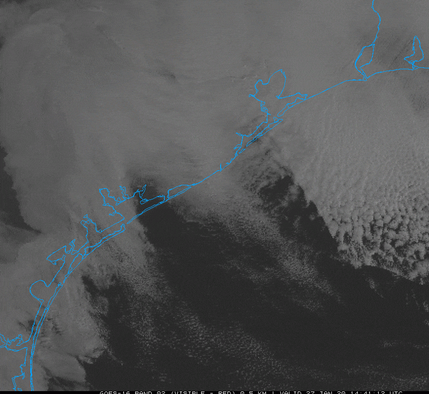
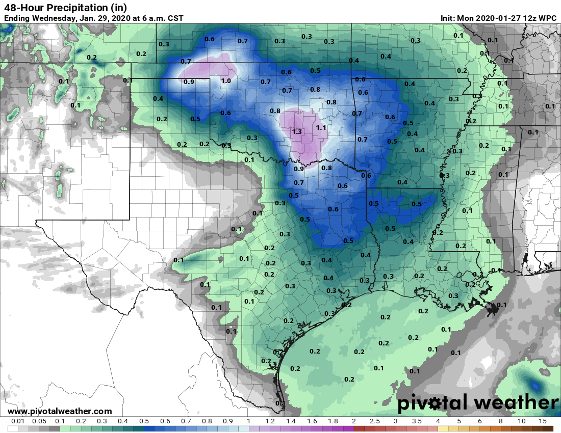
Today will buck the trend of a warmer winter, as clouds and a northwest wind will conspire to keep highs generally in the mid- to upper 50s across the region. Some mostly (very) light and scattered rain showers will be possible today and Thursday night as temperatures drop into the upper 40s. Accumulations for those who receive rain today and tonight should be slight, mostly measuring one-tenth of an inch or less.
Friday
A reinforcing front arrives on Friday morning, which should keep highs in the 50s, and help lead to some clearing of skies during the afternoon hours. Friday night will be chilly, dropping into the upper 30s for northern parts of the metro area, while remaining in the 40s in the city and points south.