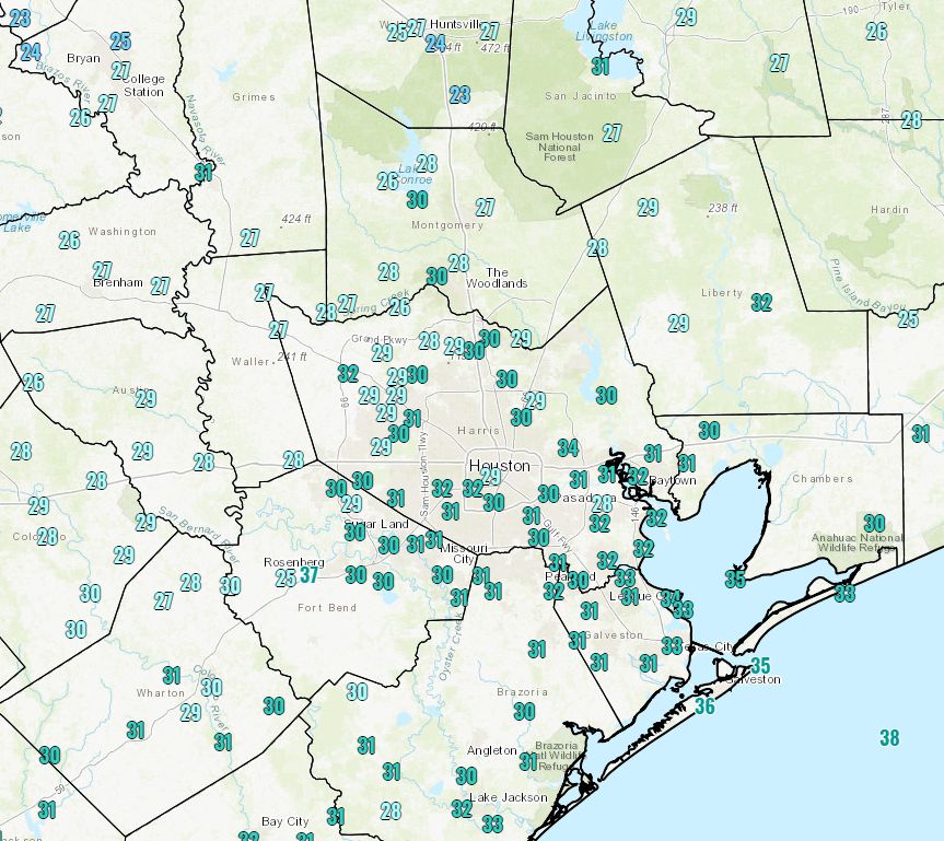
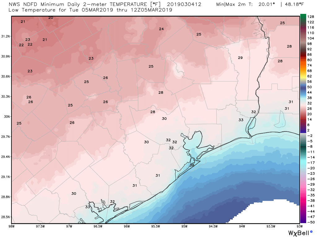
Temperatures have fallen to near freezing across most of Houston, but stayed just above it for the most part except for the usual cold spots such as Conroe and Huntsville. Now, our late winter roller coaster will turn back upward, with a warming trend through Saturday. After today, we’ll also say goodbye to the sunshine until Sunday, at least.

Wednesday
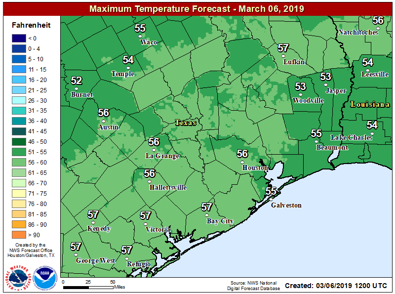
Winds remain out of the north, or northeast this morning, but they’re going to gradually swing to the east, and the southeast later today which will presage a warm-up in our weather after Monday’s descent into the depths of winter. Highs today should climb into the 50s under partly to mostly sunny skies, and with relatively light winds it will feel a fair deal warmer than Tuesday. Clouds return this evening, and there’s a slight chance of drizzle as early as the pre-midnight hours tonight. Lows likely will fall only to around 50 degrees.
Rodeo weather
 This should be one of the nicest evenings for the rodeo so far, if a bit chilly. Temperatures going into the show should be in the low 50s, with mixed skies. Coming out afterward, temperatures won’t have budged much, but skies will probably be mostly cloudy by that time. We can’t rule out some light, misty rain after the show, but chances are less than 20 percent.
Thursday and Friday
Wednesday’s wind shift will drive big temperature differences toward the end of the work week. These will be mostly gray days, with temperatures in the 70s, and dewpoints nearly as high so we can expect to feel the humidity. Overnight lows will only fall into the 60s. Some light rain is possible both days—30 to 40 percent—but accumulations should be slight as the heavier rain probably will hold off until Saturday.


