Houston will have one fairly dynamic weather day on Tuesday before high pressure takes control for the rest of the week, and probably at least early next week. There are three weather concerns to discuss today:
High winds: A wind advisory is in effect for the entire region through 6pm Tuesday as winds race onshore. Gusts of 25 to 35mph will be possible before there is some easing later this afternoon and during the overnight hours.
Coastal flooding: Because of those strong onshore winds, a Coastal Flood Warning in effect for the coast from High Island to Freeport, including areas surrounding Galveston Bay. Elevated water levels and high wave run up will cause coastal flooding near times of high tide today. Portions of low lying areas and roads along the bay could flood. This includes portions of Todville Road in Seabrook, and lower sections of Red Bluff Road between Bay Area Blvd and Highway 146.
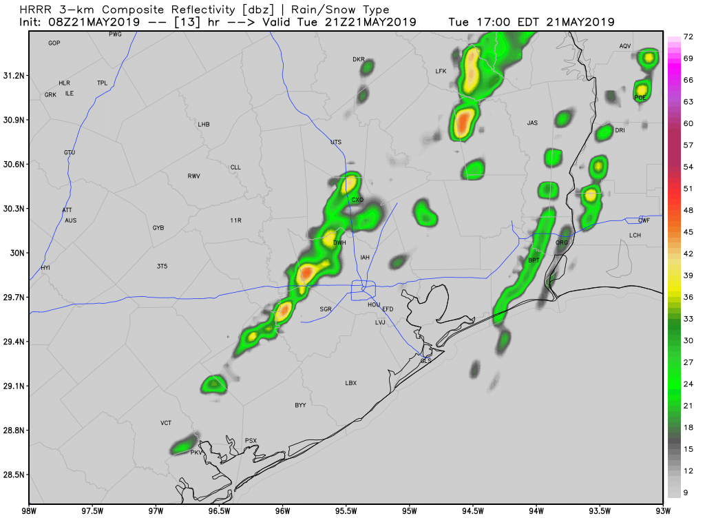
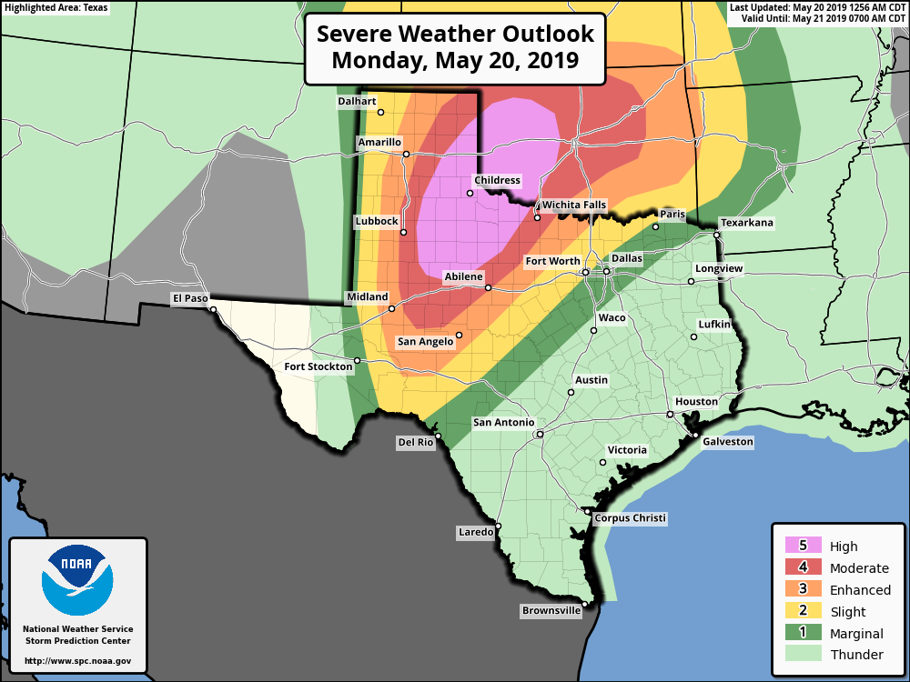
Thunderstorms: Areas north of Interstate 10 in Houston face a minor risk of strong thunderstorms this afternoon as a (likely) broken line of showers and thunderstorms traverse the area from west to east. We can’t rule out some isolated hail, but the overall risk appears fairly low.
Otherwise, inland areas will see rain chances in the 30 to 50 percent range today, and the coast 10 to 30 percent as this line of storms pushes through this afternoon and early evening. Any accumulations should be slight, and given the dry weather that lies ahead I’d rather have the rain than not. Highs, otherwise, should be in the upper 80s under mostly cloudy skies.