Good Monday morning! Matt here this morning, covering for Eric. Thanks again to Eric for covering me in my opening days of fatherhood. Thanks to all for the comments and well wishes over the last couple weeks. I apologize for any typos, though I’ll blame it on the lack of sleep.
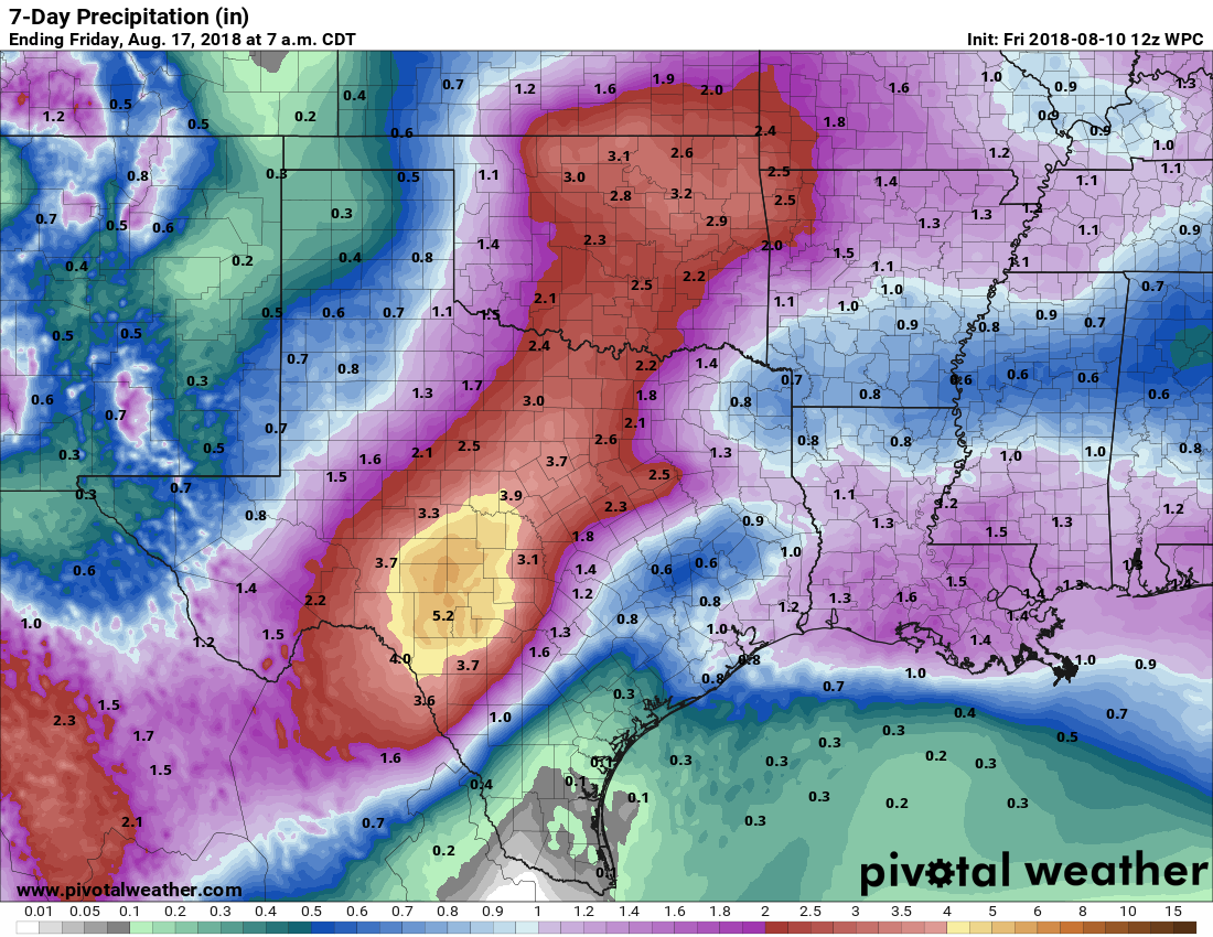
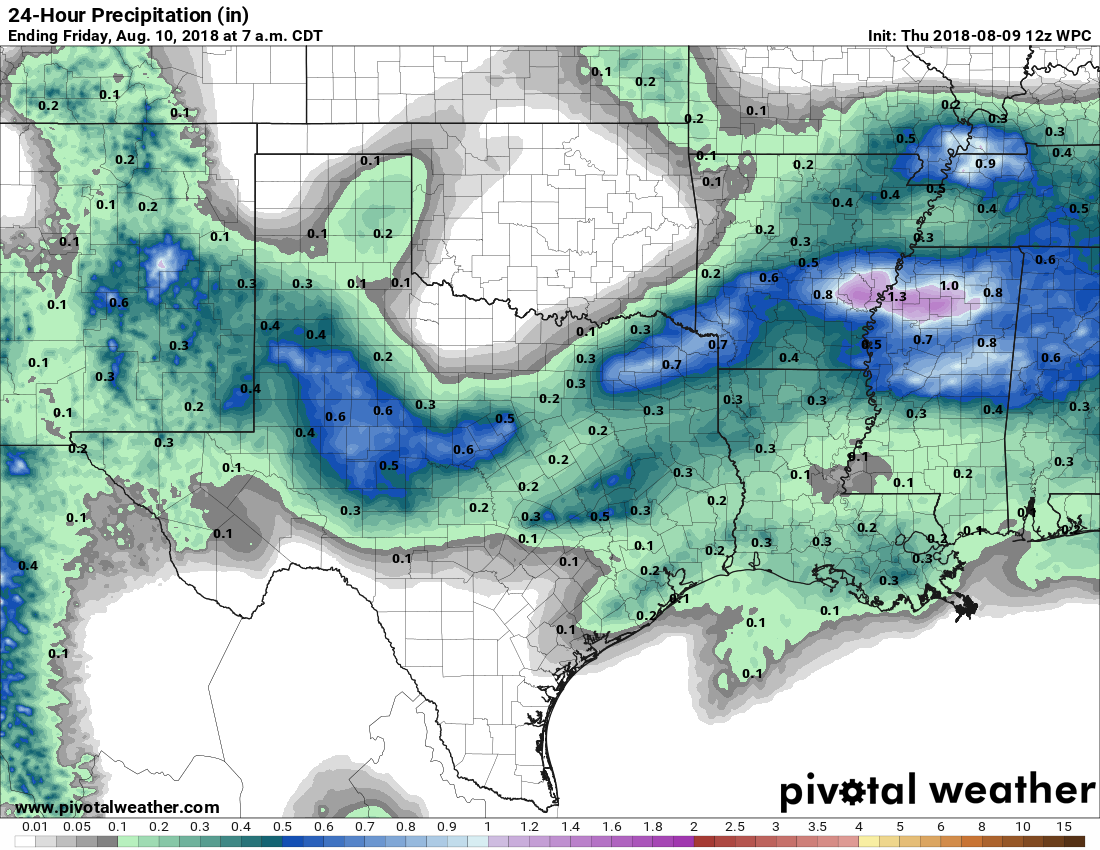
The Houston area has seen repetitive rounds of thunderstorms over the last week and change, but as someone who has been shut out most of the time, I’ve taken notice that the total rainfall distribution has been somewhat erratic.
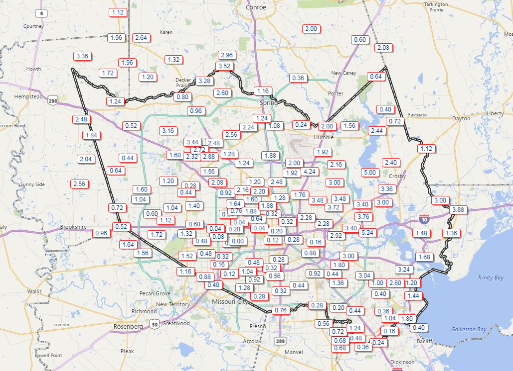
Some areas have seen as much as three to five inches of rain this August, while others have seen a tenth of an inch or less. The winners appear to be in eastern Harris County and also up toward The Woodlands southwest toward Cypress. Waller County has done well also. So it’s been feast or famine for much of the region in August. Looking ahead to this week, the faucet will slow to a trickle for a couple days, and mostly typical August weather sets in.
Today & Tuesday
Our weather pattern has begun to change a bit, as high pressure and dry air begin to flex overhead. This should significantly limit storms in our area this afternoon. Expect high temps in the mid-90s. On Tuesday, we’ll see more of the same, though the rain chances may not be quite as limited. So, we’ll call it just a slight chance of showers. More mid-90s are expected.
There was a good bit of Saharan dust in the skies yesterday. Expect more of that today. Dust will slowly thin out on Tuesday and Wednesday. Air quality will be poor. This sort of thing will be worst for those with respiratory ailments. It’s also not optimal for those of us with regular seasonal allergies. The good news is that Saharan dust outbreaks tend to have peaked by now. So these events should become a little less frequent and intense as we move forward.
Wednesday through Friday
Typical August weather in Houston can be expected to round out the week. Temperatures will probably be one or two degrees cooler than usual, but that will hardly be noticeable to most of us. We’ll peak with highs in the mid-90s and lows in the upper-70s.