A cold front will slowly move through Houston today, but the cruel reality of this in August is that drier air generally just means warmer days as high pressure builds in behind the front. And that’s just what we’ll see. At the end of today’s post we’ll also take a look at our forecast for Harvey a year ago, when the system still had not formally re-developed into a tropical storm, but clearly had become a rainfall threat.
Wednesday, Thursday, and Friday
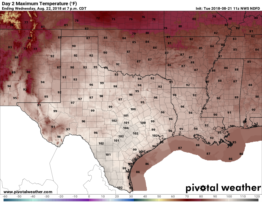
With high pressure over head, slightly drier air, and mostly sunny skies the Houston region will see ideal conditions for daytime heat to end this work week. Expect high temperatures of around 100 degrees, give or take, with overnight lows in the upper 70s. This is classic August heat.

Saturday and Sunday
By later Friday or Saturday morning, the high pressure should have moved sufficiently off to the northeast to allow more moisture to move in from the Gulf of Mexico. The net effect of this will be to bring some clouds into the region and bring temperatures down into the mid-90s. We’ll also see some isolated to scattered showers, most likely during the afternoon as the sea breeze moves inland.