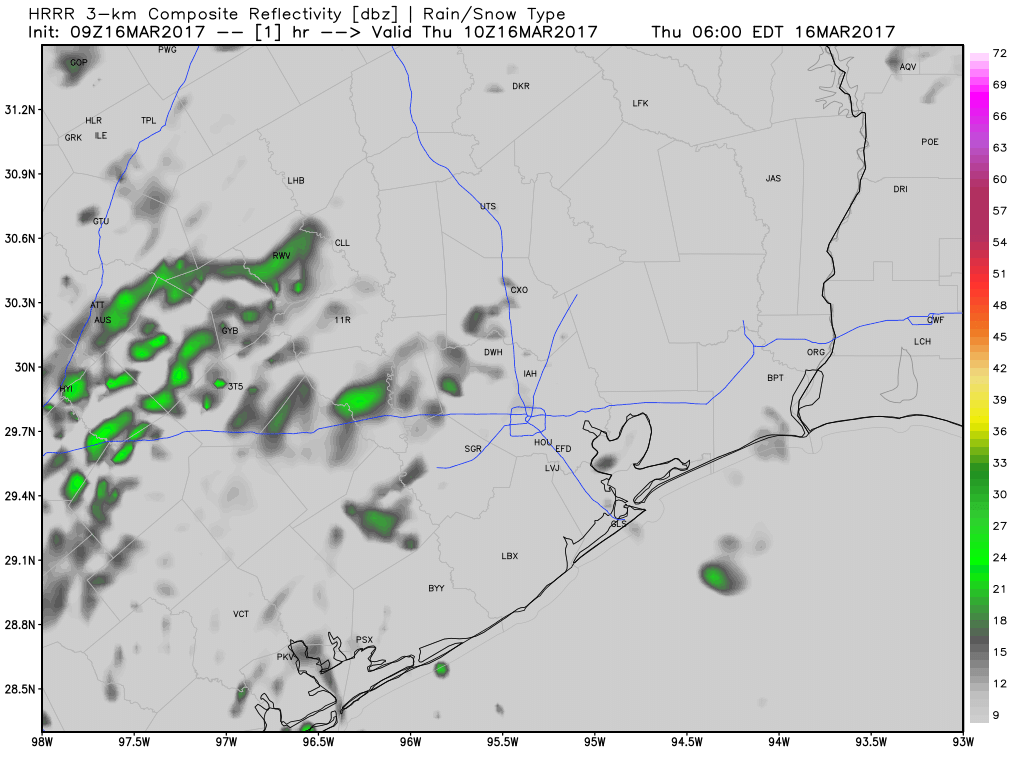
Well, it’s a beautiful day today. Sunny, cool breeze, nigh perfect. But it’s springtime, and that means the potential for heavy rain and storms, and later this weekend Mother Nature is going to deliver. I want to give an idea of what to expect.
SUNDAY
For the most part, during the daytime in Houston on Sunday, I expect to see only light rain. Not that it’s going to be particularly pleasant outside, with southeasterly winds gusting to 25 mph. But the storms should hold off until at least the mid- to late afternoon hours. However by Sunday night a potent upper-level low pressure system should force air in a very moist atmosphere to rise, and create conditions conducive for very heavy rainfall. (The second day of the MS 150 ride has already been canceled as areas in central Texas will experience these conditions earlier than Houston.)
There’s still no consistency in terms of location for the heaviest showers, but while some areas may receive just light rain, other parts of the area get 2 to 4 inches, if not more, during the overnight hours. Whatever your going to do Monday morning, best to plan on the possibility of needing extra time. Hail and damaging winds are also possible with these overnight storms.
Precipitable water forecast for Sunday, at midnight, shows 200 to 250 percent above normal levels of moisture in the atmosphere. (Weather Bell)
A quiet morning should transition into another quiet day for Houston, but rumblings remain on the horizon, though unfortunately clarity has not increased much more today.
TODAY
No big issues are anticipated for Friday, with highs in the low 80s and a mix of sun and clouds after any morning low overcast or fog dissipates.
SATURDAY
The first phase in the transition to a more active, unsettled weather pattern unfolds tomorrow. Onshore winds off the Gulf will help pool atmospheric moisture over us. Dewpoints should jump into the upper 60s Saturday, with high temperatures in the upper 70s. It will feel a bit more humid. While a shower or very isolated storm can’t be ruled out, most of us should see quiet weather.
SUNDAY THROUGH MIDWEEK
Not much change today in the forecast for this period. We continue to see an upper level storm system approach us from the west, tapping into rich Gulf moisture (available moisture will be near record levels in this period). These sorts of events are difficult to communicate effectively sometimes, so I’ll try and answer some questions.
When will the rain fall?There will likely be a few periods of thunderstorms or showers between Sunday afternoon and Wednesday. It will not rain the entire time though. Right now, the period from Sunday afternoon into Tuesday stands the best chance for storms of the next 6-7 though.
How much rain will we see? You’re going to see a lot of rainfall maps (including the official NWS one below) over the next few days.
National Weather Service rainfall forecast through next Thursday (as of Friday AM). (Weather Bell)
Some maps may show big numbers (particularly anyone showing the GFS model, which has been handing out double digit rain amounts southwest of Houston). It’s impossible for sure to say how much rain we see in this sort of situation, but we can use the weather models as guides. So if the models are painting regularly bullseyes of 10″+ of rain, we know potential is there for some significant totals. That said, the places actually seeing that much rain are likely to be isolated and small (10″ rain totals would be the exception rather than the rule). But I can’t tell you today whether it’s Baytown, Bay City, or Brenham that sees these big numbers. As of now, the trends imply that the best risk for this is south and west of Houston and probably south and west of the suburbs. That said, we won’t have high confidence as to where those places will be until about 24-36 hours before the storms hit. Eric’s call yesterday of an average of 2-5″ is about as good as we can do right now, knowing that some places will see quite a bit more. We’ll pin down exactly who that will be Sunday or next week.
Will there be severe weather? As of right now, the Storm Prediction Center has areas west of Houston in a “slight” risk for Sunday, but hasn’t highlighted anyone for Monday and Tuesday as of yet.
Severe weather outlook for Sunday (NOAA, Storm Prediction Center)
From experience, these sorts of setups have four primary severe weather concerns. In order: Flooding, wind, lightning, hail. I think the focus should be on the rain and potential for localized flooding, but we will be watching for damaging winds in stronger storms, definitely a lot of lightning, and even some risk for a few hailers too. You always should have your guard up in spring, but I think the main headline in all this will ultimately be heavy rain and flooding potential.
When does this clear?I don’t think rain chances will leave the forecast much at all next week, but after Tuesday, weather models continue to imply quieter weather (so lower significant rain chances).
Advice: Keep tuned it over the weekend for updates on next week. Follow Eric or myself on Twitter too. We’ll hopefully be able to pin a few more details down by Sunday and certainly Monday morning. If you have plans early next week, don’t cancel, but run through some alternatives, and make sure to stay tuned to the forecast.
MS 150 RIDERS
Unfortunately no change in the MS150 forecast. Saturday should be good, with a solid tailwind. But Sunday will turn progressively stormy between La Grange and Austin, especially in the afternoon. Heavy rain is a good bet, and lightning is very possible. Officials are slated to update the status of the event by 10 A.M. this morning.
Good morning. Temperatures are in the low- to mid-60s this morning and we’re going to have a couple of pleasant days before we have to worry about the potential for some very heavy rain.
TODAY and FRIDAY
We’ll see highs in the low 80s for the next couple of days with partly to mostly sunny skies. Mornings will be in the low 60s. Near perfect weather for mid-April.
SATURDAY
On Saturday we’ll begin to transition toward rain, as moisture streams in from the Gulf of Mexico. Under mostly cloudy skies we’ll see temperatures rise into the upper 70s, and strong southeasterly winds gusting up to 20 mph. This will ramp up atmospheric moisture levels, and while we can’t rule out rain on Saturday, most likely it is just setting the stage for the next few days.
As expected a large complex of showers and thunderstorms moved through the greater Houston area during the overnight hours, bringing 1 to 1.5 inches of rain for almost everyone.
TODAY
Showers will continue to be possible today for coastal areas and to the east of Houston, but for most areas the heavy rains have ended for good today. With mostly cloudy skies today we should see highs in the low- to mid-70s along with light northerly winds.
THURSDAY and FRIDAY
High pressure will make for great weather to end the work week, with highs near 80 degrees, morning lows in the low 60s, and partly to mostly sunny skies. This will be great weather for April.