A new year, and a new month, mean a new sponsor. And for January I’m pleased to announce that Westbury Christian School will sponsor Space City Weather.
Here is a bit more about the school:
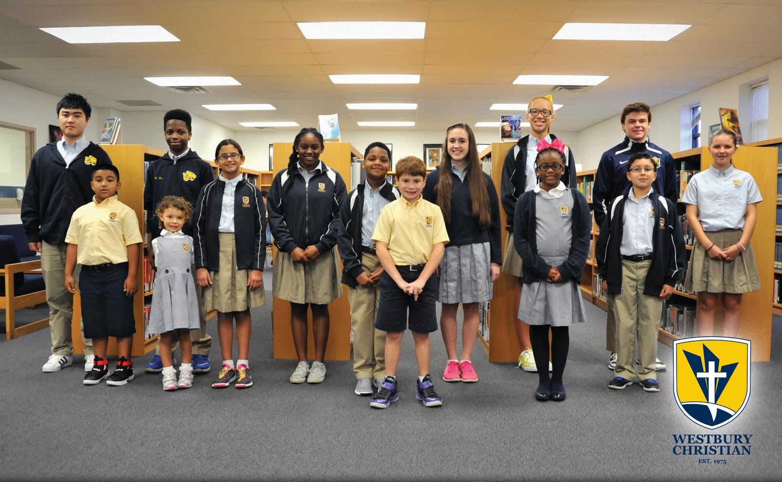
Westbury Christian School is a fully accredited, college preparatory school serving approximately 500 students from age 3 through 12th grade each year.
Conveniently located near major employment centers south and west of downtown, WCS is committed to excellence in academics, student activities, and spiritual development and offers competitively priced tuition to allow working families the opportunity to give their students a unique private education taught from a biblical perspective. WCS actively works to maintain diversity in its student enrollment, which reflects the populace of the neighborhood in which it is located, serving families from a variety of religious faiths, ethnicities and socioeconomic backgrounds.
The challenging academic program at WCS – including the open-enrollment Dr. David M. Lacey Advanced Placement (AP) program offering 17 courses across core disciplines – is designed to ensure college-readiness, while expanded classroom space and extracurricular offerings in science, technology, engineering and mathematics (STEM) encourage students to pursue careers in Houston’s key industries.
The Wildcat athletic program – which fields boys and girls middle school, junior varsity and varsity squads in a variety of team and individual sports – helps WCS students strengthen their bodies and build character while learning the importance of teamwork.
With instruction and extracurricular opportunities in band, chorus, ballet, theatre and the visual arts, the Fine Arts department at WCS helps students express their unique creative talents, individually and collectively, on the WCS stage and through appearances at recognized local and state competitions.
The campus ministry program ensures WCS is a welcoming place for all who are seeking spiritual growth, and local service projects and out-of-town mission trips allow students to show God’s love to those in need of a helping hand.
In its first 40+ years, WCS has helped thousands of hard-working students – including more than 1,300 alumni – prepare for success in every aspect of their personal and professional lives.
Their support allows us to continue to make the best possible forecasts we can make. Thank you for considering them for all any education needs. By doing so, you’ll be supporting this site!
For more information on sponsoring Space City Weather, please click here.