In brief: The weekend has started off calmly, in terms of rainfall. Most likely we will see that start to change later this afternoon or on Saturday evening, with scattered to widespread showers and thunderstorms.
Setting expectations for the rest of the weekend
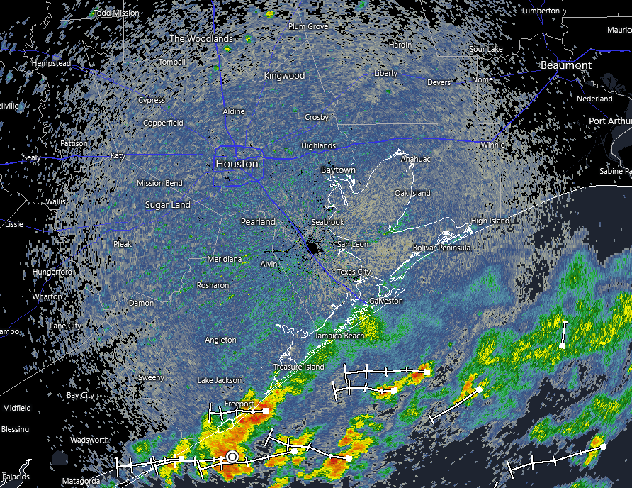
So far, today, moderate to heavy rainfall has remained offshore in proximity to low pressure over the northern Gulf. This has given us a quiet start to Saturday. The question is, does that mean the threat of rainfall is over for the Houston region?
I do not think it is. We are seeing daytime heating over much of the area, and this should help provide a spark for some shower development over land later this afternoon and evening. Predicting exactly where remains a challenge, but some of our guidance is pointing again to areas just north and west of central Houston, which were hard hit by showers on Thursday night.
Broadly speaking I expect fairly widespread showers to develop over our region from mid-afternoon onwards, perhaps lasting through most of the evening. For the immediate coast, the threat may persist a little longer. For most of us, this is likely to bring 0.5 inch of rain, or less, so more of a nuisance than anything consequential. But we could definitely see some bullseyes with 2 to 4 inches in isolated areas, leading to street flooding.
Showers remain possible on Sunday, but should be more scattered in nature. Drier air starts filtering in on Monday, leading to somewhat lower humidity and basically ending our rain chances for the time being.
