Conditions are quite a bit warmer across the metro area this morning, with most of the region somewhere in the 50s. Our forecast remains much the same as it’s been—with unsettled weather for a day or so, breezy weather, and then clearing conditions for what should be an excellent December weekend.
Wednesday
Today will be warm-ish for mid-December, with highs in the upper 60s under cloudy skies. Steady, southerly winds will bring the humidity, and also be pushing up moisture levels that will boost rain chances during the overnight hours. Although some light showers are possible Wednesday afternoon and evening, most high-resolution models hold off any stronger storms until later Wednesday night and Thursday morning.
Thursday morning
As an upper-level disturbance moves in from the west, and a cold front barrels down from the northwest, it now appears as though a fairly robust line of showers will move through southeast Texas on Thursday morning, roughly from around 2am through 8am.
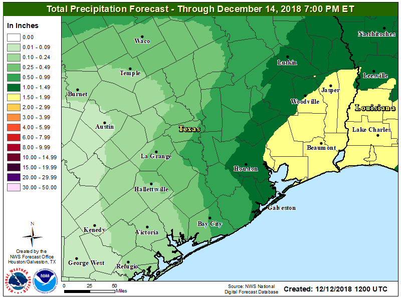
This line of storms doesn’t look too severe—although some thunderstorms are possible—but showers should be heavy enough to drop 1 to 2 inches of rainfall on their way through the area. Fortunately the storms should make fairly steady progress and not linger too long.

Thursday afternoon
The front itself should push into Houston during the afternoon hours, and this will be readily apparent by the arrival of west-northwesterly winds that will dry out the atmosphere pretty quickly. A tightening pressure gradient will make for very strong winds, especially along the coast. The National Weather Service says it is likely to issue a wind advisory, with sustained winds above 30mph likely along the coast.
Friday
After a breezy and blustery night, with temperatures generally in the 40s for the metro area, Friday will be a partly sunny, chilly affair with winds still in the range of 15 to 25mph, and highs only reaching about 50 degrees. You (and the kids) will definitely want a jacket.
Saturday, Sunday, and beyond
The weekend still looks great for the Houston region, with lows in the 40s (cooler inland, warmer near the coast) and highs of around 60 degrees on Saturday, and 65 degrees on Sunday. As winds will have died down, and skies will be sunny, these should be very fine days for outdoor activities.
Most of next week should see a slow warm-up, but we don’t expect highs to get much above 70 degrees. After Thursday morning’s showers, the next week looks quite dry.
Some news stations are saying flurries on Friday – are they just trying to get attention?
I’ve seen snow flurries in the mountains even with temps in the upper 30s. But Houston low elevation next to the Gulf of Mexico and temps in the 40s? I don’t see it.
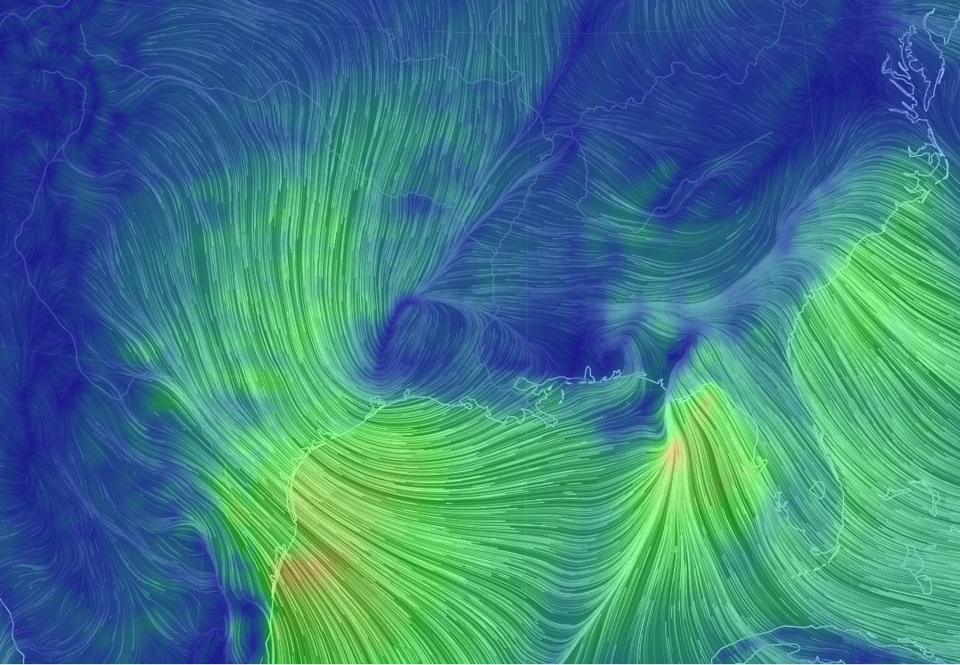
Love the image of the winds – may make that my new desktop wallpaper….
Gena, you will be “blown away” by this site!
https://earth.nullschool.net/#current/wind/isobaric/1000hPa/orthographic=-62.70,22.67,656/loc=-44.165,12.792
Is it going to be anything like Friday’s rain?
Did you read the post? Of course not.
I did but I’m still super traumatized from Harvey, home flooding, rain on Friday. Lol I still have anxiety 🙂 thanks for your concern.
We currently have zoo lights planned for Thursday night. Do you think the wind will be that crazy?
Thank you so much.
You are always better than my regular TV man😊