Good morning. Just a quick update today as both Matt and I are traveling.
The National Hurricane Center continues to track a broad, disorganized area of low pressure that’s nearing the Texas coast and should come ashore today. Chances of development are near zero, but it is helping to usher in some moisture to the Texas coast.
This is likely to produce scattered to widespread thunderstorms later today and on Saturday. Although there isn’t any great organization, moisture levels will be quite high and it seems likely storm motions will be slow. This means that where storms do develop there will be the potential for some heavy rains that could cause street flooding. However I do not anticipate widespread flooding concerns. Storms will be most likely during the warmer, afternoon and early evening hours. Highs will remain around 90 degrees.
By Sunday high pressure settles back in, and accordingly daily rainfall chances should fall back into about the 10 to 30 percent chance for most days. If you can believe it, because of this almost summer-like high pressure pattern, forecast models now indicate temperatures for much of next week will reach into the low- and possibly mid-90s. Some moderation in temperatures may arrive by late next week.
It’s terrible, I agree.
It’s all good now that we’re passed the 15th of Sep… Just a matter of time before a cool front arrives..
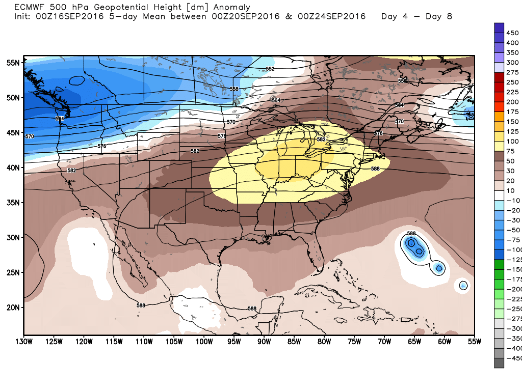
I don’t understand how the embedded picture shows high pressure building over Texas. Looks like the lower Great Lakes to me.
C’mon, throw us a bone. Every post this time of year should include some mention of a potential cool front that we can fantasize about.
Do you have any concerns about Tropical Storm Julia heading South-Southwest into the Gulf and then westward towards Texas, as, possibly, a major Hurricane?
Nope.
Worrybug,’s asked a good question, Eric. The GFS does show TS Julia crossing the Florida Peninsula into the Gulf of Mexico. Past storms that have done this have been known to threaten Texas. (Ex: Hurricane #2, 1940).