Our forecast remains more or less the same, with a slow warming trend before cooler weather returns by the weekend.
TODAY
It’s a very cold morning, with freezing temperatures over parts of the northern half of the Houston metro area. As high pressure moves off we’ll see only partly sunny conditions today, with highs in the mid-50s and a slight chance of rain tonight. Lows in the 40s tonight.
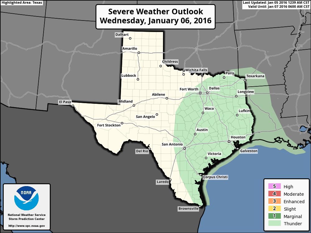
WEDNESDAY
Wednesday, and especially Wednesday night, will see the best chance of rain as a low pressure system in the upper levels of the atmosphere moves through the area. I expect most areas to receive 0.5 to 1.5 inches of rain, with only scattered thunderstorms.
THURSDAY and FRIDAY
As the upper-level system moves off rain chances will fall. With mostly sunny skies beginning Thursday afternoon we’ll see relatively warm days, with highs in the 70s. It will provide a brief break from winter, although lows should remain in the 50s.
THE WEEKEND
A cold front should arrive on Saturday, likely during the morning hours. There are some slight rain chances along and ahead of the front, so some areas may see moderate rain on Friday night and Saturday morning. The rest of the weekend looks sunny and cooler, with highs on Sunday only climbing into the 50s.
ARCTIC FRONT?
The forecast after about 10 days is less clear. A fair amount of Arctic air is going to move down into the central United States in about a week’s time, but much of it may get shunted to the east before moving as far south as Texas. We shall have to wait and see.
Posted at 6:55 a.m.