Overall, the forecast remains pretty much the same. We’re watching for the possibility of storms on Friday night with the passage of a pretty robust cold front, and then looking for several days of really pleasant spring-time weather.
Thursday
The story for today will be winds. Onshore breezes will ramp up to 10 to 20 mph this afternoon, with higher gusts, in response to a large low pressure system in the Midwestern United States. Along with these winds, Houston should see a partly to mostly sunny day, with high temperatures around 80 degrees. A warm night, with lows only falling to around 70 degrees, will follow.
Friday through Saturday morning
Scattered showers, and a few thunderstorms, will be possible during the daytime on Friday as a cold front moves into Texas, but a capping inversion probably will keep most activity north of the Houston metro area. Most likely, we will have to wait until around sunset, or perhaps the overnight hours, for rain chances to really rise as the front moves through Houston.
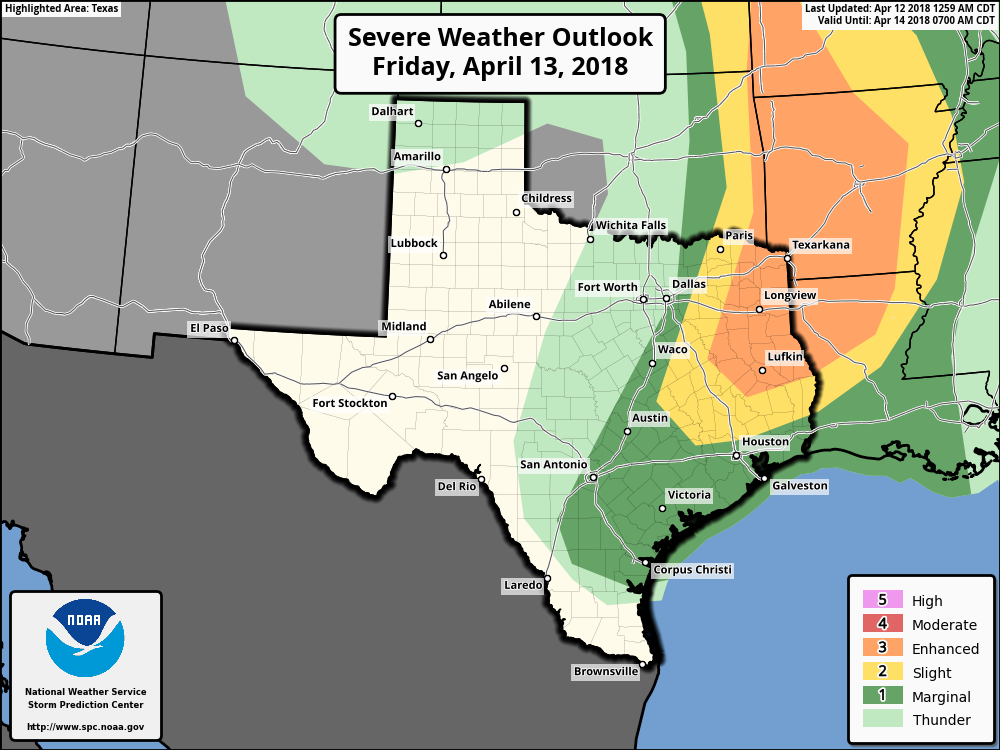
Forecast models indicate a relatively quickly moving line of storms is likely to form along the front, although it’s not clear how intense these storms will be as the slide down toward Houston and the coast. Most areas probably will see less than 1 inch of rain as the front rolls through, and if this line of storms is broken, parts of Houston may not see much rainfall at all. The front will push off the coast by around 7am on Saturday, ending the chances of any storms, although some light rain may linger for a few hours.