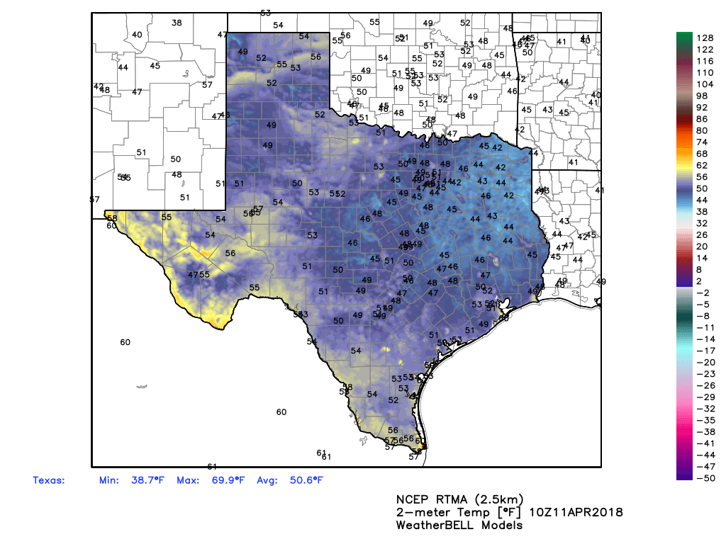
It’s chilly across Houston this morning, with lows ranging from about the lower 40s up north in Conroe to the mid-50s near the coast. After this morning, we’ll enter a warming trend with rising moisture levels that will set the stage for thunderstorms and potentially some severe weather later on Friday and Saturday morning.
Wednesday
Highs today will rise into the upper 70s, with sunny skies. This will be another gorgeous spring day for Houston; but with light, southerly winds resuming this morning, overnight temperatures will probably be a good 10 to 15 degrees warmer tonight than they were Tuesday night.
Thursday
Another mostly sunny day, but we’re definitely going to feel the onshore flow resume in earnest, with gusty southerly winds, and this will help to ramp up humidity levels. Highs will probably level off at about 80 degrees, and with clouds building Thursday evening we can expect a warm, almost summer-like night with overnight lows only falling into the lower 70s for most of Houston.

Friday through Saturday morning
As we’ve been suggesting this week, a healthy chance of storms comes into the forecast at the end of the work week. This will be driven by a large, well-defined upper-level low pressure system in the Midwestern United States that will drive an area of disturbed weather at the surface, and eventually push a cold front through the area.
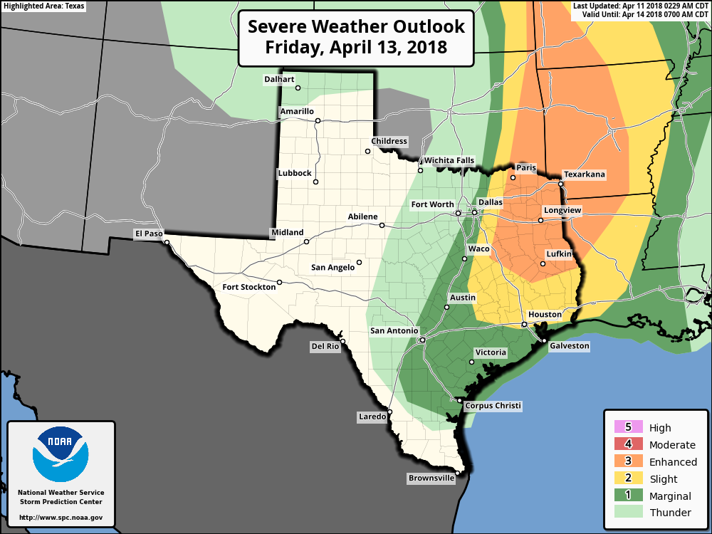
There is some question about conditions on Friday during the day, but most likely a capping inversion will hold, which probably will limit any storm activity over the Houston metro area. (The best chances for storms on Friday will be north of Montgomery County). However, later Friday evening, the front should help break this cap and increase the chance of severe storms, including damaging winds, hail, and potentially a tornado or two. Storm dynamics will probably be most favorable for severe weather for the northern half of Houston. In terms of rainfall, the storms will be capable of producing heavy showers, but as they’ll move fairly quickly, I don’t anticipate accumulations of more than about 0.5 to 1.5 inches or so. Rains should end Saturday morning, as the front moves off the coast.
Saturday afternoon and Sunday
The rest of the weekend looks pretty nice. Saturday may be somewhat breezy, and as skies clear afternoon high temperatures should hang in at around 70 degrees. Overnight lows will probably drop into the mid-40s for most of Houston—quite cold for mid-April. Sunday should be a near perfect spring day, with sunny skies, highs around 70, and not a darn thing to complain about.
Most of next week looks fairly calm, with highs around 80 degrees, and lows in the 60s.
Is there any way you could incorporate some cycling specific weather for the weekend mornings leading up to and of the BP MS150?
We went cycling last Saturday in absolute miserable conditions west of Katy (We knew what we were getting into).
Planning to attend Astros game on Friday night. Too early to estimate timing of worst weather?
Leaving on a motorcycle trip Friday am, Jackson miss Friday night and Chattanooga saturday night. What are my prospects
When you say “later” Friday evening, is there any timing on that?
Best guess is 11pm to 5am-ish.