Good morning! We are now almost to the halfway mark of August, and it hasn’t been so bad. Average temperatures this month, so far, have been near normal. And as we look ahead to the rest of the month there appears to be nothing extreme on the horizon. Dare I say it, that we might get through Houston’s hottest month—when we are most drought prone, and exposed to hurricanes—without and really severe weather? No, I will not say it. But I’m thinking it’s a very real possibility.
Wednesday, Thursday, and Friday
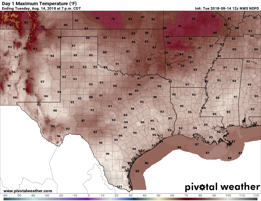
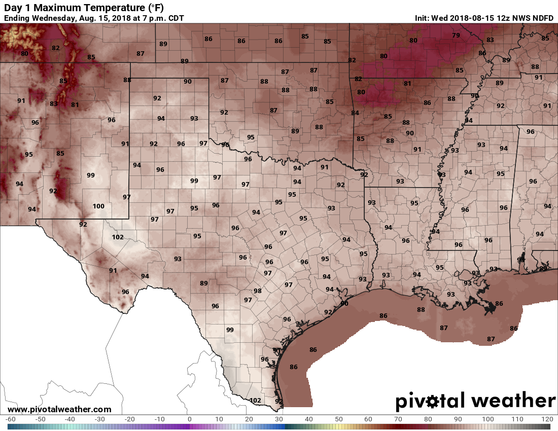
The overall forecast pattern for the rest of this week has not changed. Moderate high pressure remains in place, but nothing too suffocating. This means high temperatures will probably peak in the mid-90s, and with a few clouds there will be a slight chance (maybe 10-20 percent inland, 20-30 percent close to the coast) of rain showers. Overnight lows will be in the mid-70s for far inland areas, and about 80 degrees right along the coast.
Saturday and Sunday
Again, not much change this weekend, with highs in the mid-90s and some isolated to scattered showers for the region. You probably won’t see rain. For the most part, skies will be sunny, and the water inviting due to the daytime heat. If you’re tailgating for the Houston Texans preseason game on Sunday evening make sure to stay hydrated out there. (That a was a joke, friends. I know any tailgaters will probably stay over-hydrated)