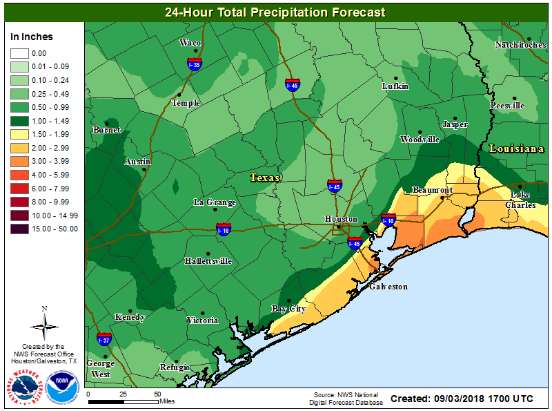
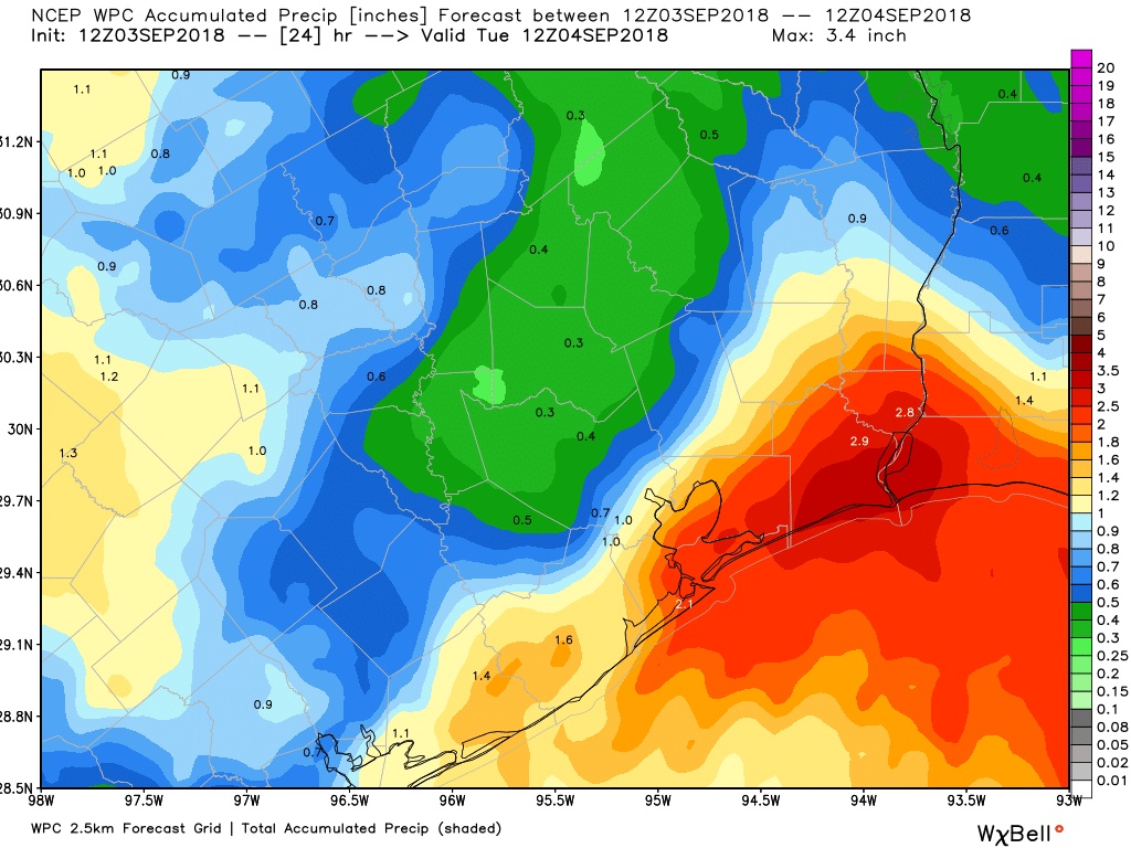
After a wild Labor Day that saw Galveston and coastal communities see upwards of five to ten inches of rain or more, we’re starting with more rain down that way today. But we do have good news for those ready for a break.
Today
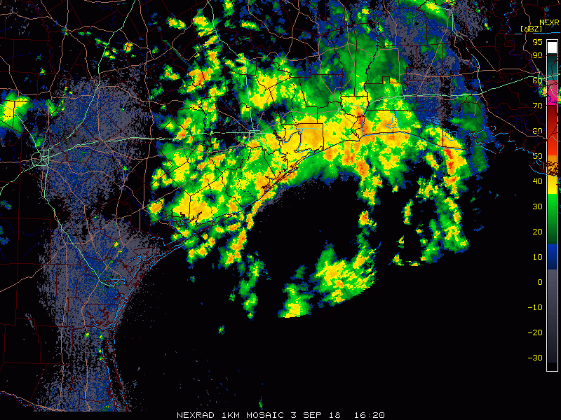
Radar this morning as of showed a narrow band of heavy rain pointed onshore across Galveston Island and the southwest end of the Bolivar Peninsula, now inland as of 5:50 AM to about League City. Additional moderate to heavy rain had prompted another Flash Flood Warning just outside of Port Arthur.
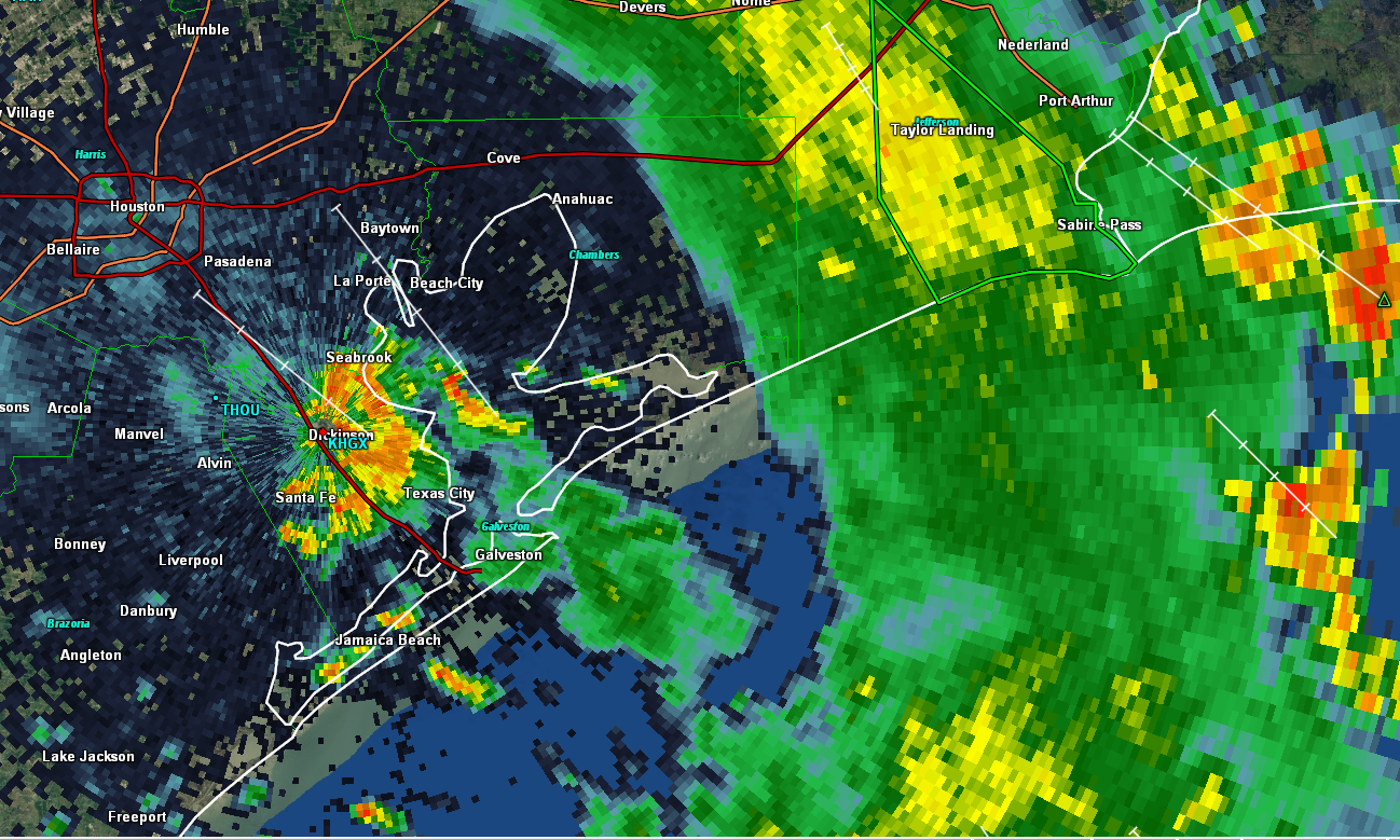
Some of the rain near Port Arthur may try and come a bit west, so folks on the east side of I-45 could see a steady moderate to occasionally heavy rain for a time. Locally heavy rain will continue at times near Galveston, which could cause some relapse in street flooding again. A Flash Flood Watch is posted for the coastal counties through today.
Further inland, including most of Houston, we’ll see a smattering of showers and thunderstorms around the region this morning and afternoon. Look for gradual improvement later today. Clouds and showers will hold back temperatures once again. We only hit 78° officially on Labor Day, our coolest day since the Fourth of July, and only the second time we’ve failed to hit 80 degrees since late April. It feels like it’s been hot forever. Who’s ready for a cold front? We’re looking hard for one, but alas, we don’t see much chance of that happening over the next ten days or so at least.
Wednesday & Thursday
Both days look like a return to more typical late summer weather, with a daily shower and storm chance driven by the sea breeze off the Gulf and daytime heating, so mostly of the hit or miss variety. Any storms will be capable of heavy downpours of course, but coverage should be fairly average for this time of year; a bit less intense than we’ve seen the last couple days. Look for mid- or upper-80s where we see some storms on those days and upper-80s to low-90s in drier locations.